Near St. Peter in Nicollet County, Minnesota — The American Midwest (Upper Plains)
District 6 School
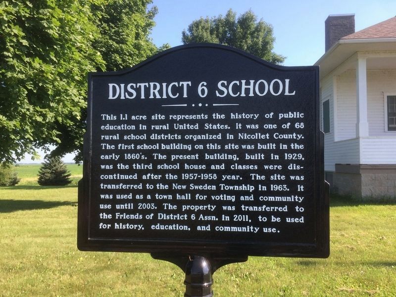
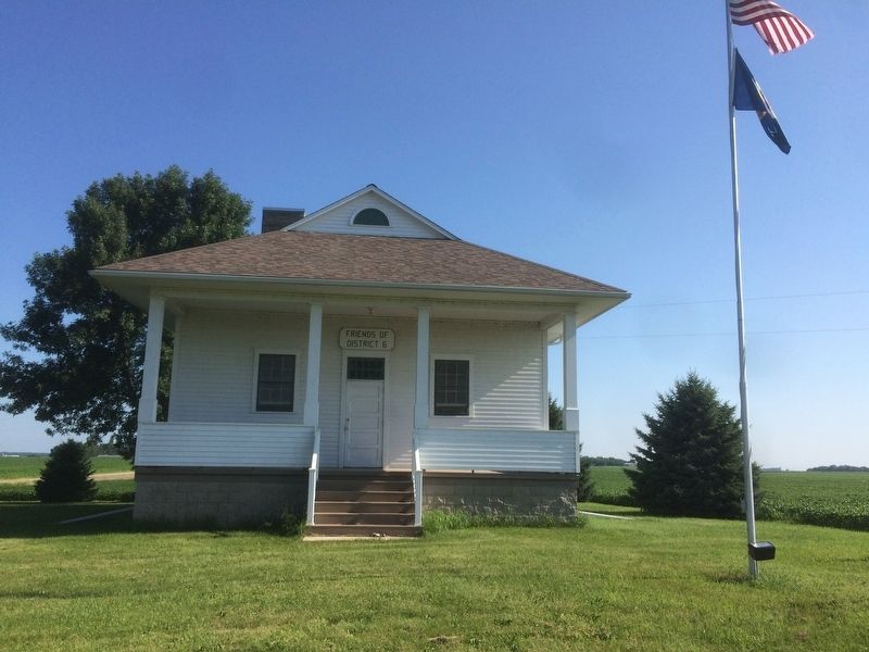
This 1.1 acre site represents the history of public education in rural United States. It was one of 68 rural school districts organized in Nicollet County. The first school building on this site was built in the early 1860's. The present building, built in 1929, was the third school house and classes were discontinued after the 1957-1958 year. The site was transferred to the New Sweden Township in 1963. It was used as a town hall for voting an community use until 2003. The property was transferred to the Friends of District 6 Assn. in 2011, to be used for history, education, and community use.
Topics. This historical marker is listed in this topic list: Education. A significant historical year for this entry is 1929.
Location. 44° 24.792′ N, 94° 10.173′ W. Marker is near St. Peter, Minnesota, in Nicollet County. Marker is at the intersection of State Highway 22 and 451st Ave on State Highway 22. Touch for map. Marker is at or near this postal address: 36715 MN-22, Mankato MN 56001, United States of America. Touch for directions.
Other nearby markers. At least 8 other markers are within 7 miles of this marker, measured as the crow flies. New Sweden Creamery (approx. 1.1 miles away); Scandian Grove Evangelical Lutheran Church (approx. 2.2 miles away); Norseland Community (approx. 2.7 miles away); a different marker also named Norseland Community (approx. 2.8 miles away); a different marker also named Norseland Community (approx. 2.8 miles away); New Sweden Indian Attack (approx. 2.9 miles away); Norseland Lutheran Church (approx. 3.2 miles away); Bernadotte Co-op Creamery (approx. 7 miles away).
Credits. This page was last revised on July 11, 2018. It was originally submitted on July 10, 2018, by Ruth VanSteenwyk of Aberdeen, South Dakota. This page has been viewed 216 times since then and 13 times this year. Photos: 1, 2, 3. submitted on July 10, 2018, by Ruth VanSteenwyk of Aberdeen, South Dakota. • Andrew Ruppenstein was the editor who published this page.


