The Salters Garden
The Salters' Company is one of the Great Twelve Livery Companies of the City of London and was first licensed in 1394.
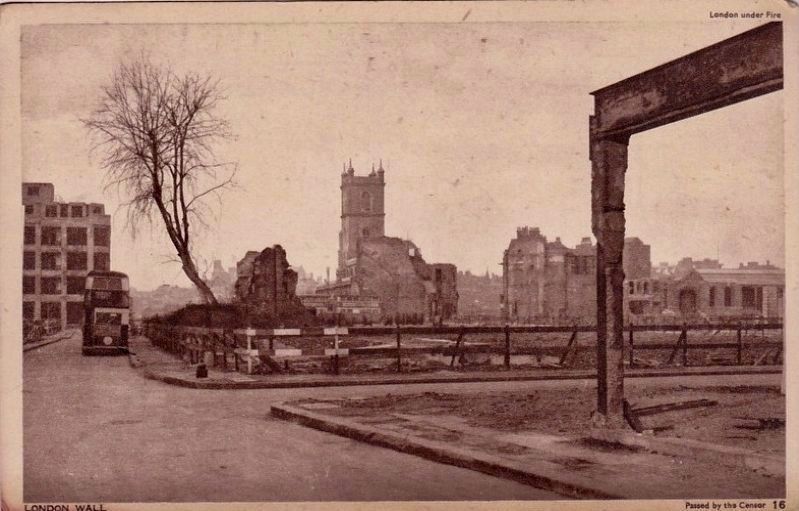
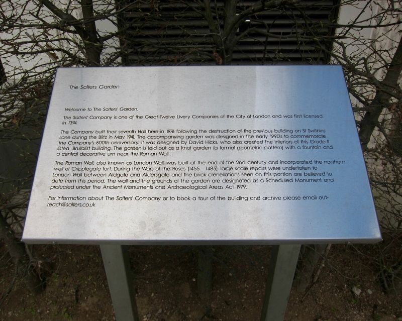
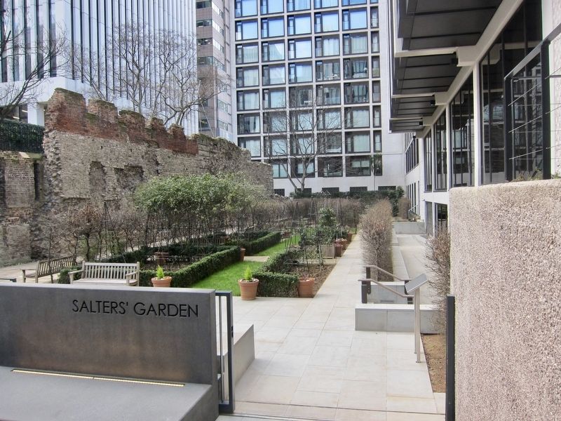
The Company built their seventh Hall here in 1976 following the destruction of the previous building on St Swithins Lane during the Blitz in May 1941. The accompanying garden was designed in the early 1990's to commemorate the Company's 600th anniversary. It was designed by David Hicks, who also created the interiors of this Grade II listed Brutalist building. The garden is laid out as a knot garden (a formal geometric pattern) with a fountain and a central decorative urn near the Roman Wall.
The Roman Wall, also known as London Wall, was built at the end of the 2nd century and incorporated the northern wall of Cripplegate fort. During the Wars of the Roses (1455-1485), large scale repairs were undertaken to London Wall between Aldgate and Aldersgate and the brick crenellations seen on this portion are believed to date from this period. The wall and the grounds of the garden are designated as a Scheduled Monument and protected Under the Ancient Monuments and Archaeological Areas Act 1979.
For information about The Salters' Company or to book a tour of the building and archive please email [email protected]
Topics. This historical marker is listed in these topic
Location. 51° 31.081′ N, 0° 5.537′ W. Marker is in City of London, England, in Greater London. Marker can be reached from the intersection of Fore Street and St Alphage Garden. Touch for map. Marker is in this post office area: City of London, England EC2Y 5DE, United Kingdom. Touch for directions.
Other nearby markers. At least 8 other markers are within walking distance of this marker. Site of First Bomb Hit (within shouting distance of this marker); Cripplegate (within shouting distance of this marker); The London Wall Walk - 14 (about 120 meters away, measured in a direct line); The London Wall Walk – 15 (about 180 meters away); London City Wall - Bastion 13 (about 180 meters away); London City Wall - Bastion 14 (about 180 meters away); The London Wall Walk – 18 (about 210 meters away); William Shakespeare (about 210 meters away). Touch for a list and map of all markers in City of London.
More about this marker. The entrance to the garden is on Fore Street. The garden is not visible from the street, but a few steps onto the property, along the walkway, will take one to a short flight of steps that lead down into the garden area.
Also see . . .
1. Salters' Garden (London Parks & Gardens Trust)
2. London Wall (Wikipedia). "The London Wall was the defensive wall first built by the Romans around Londinium, their strategically important port town on the River Thames in what is now London, England, and subsequently maintained until the 18th century." (Submitted on July 11, 2018.)
3. Company History (The Salters' Company). "The Salters' Company received its first licence from Richard II in 1394, but like other Livery Companies, was probably in existence prior to 1066." (Submitted on July 11, 2018.)

Credits. This page was last revised on January 27, 2022. It was originally submitted on July 11, 2018, by Andrew Ruppenstein of Lamorinda, California. This page has been viewed 394 times since then and 47 times this year. Photos: 1, 2, 3. submitted on July 11, 2018, by Andrew Ruppenstein of Lamorinda, California.

