New Castle in Garfield County, Colorado — The American Mountains (Southwest)
Jolley Trail
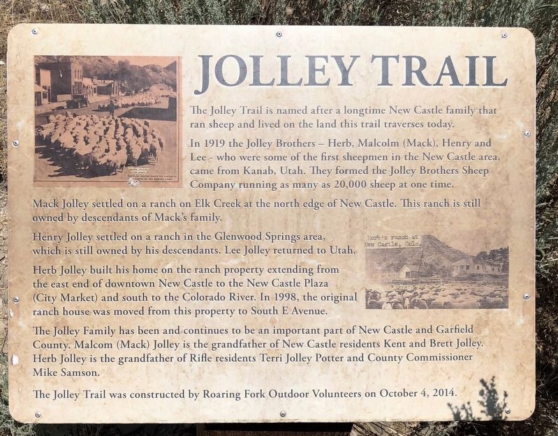
In 1919 the Jolley Brothers — Herb, Malcolm (Mack), Henry and Lee — who were some of the first sheepmen in the New Castle area came from Kanab, Utah. They formed the Jolley Brothers Sheep Company running as many as 20,000 sheep at one time.
Mack Jolley settled on a ranch on Elk Creek at the north edge of New Castle. This ranch is still owned by descendants of Mack's family.
Henry Jolley settled on a ranch in the Glenwood Springs area, which is still owned by his descendants. Lee Jolley returned to Utah. Herb Jolley built his home on the ranch property extending from the east end of downtown New Castle to the New Castle Plaza (City Market) and south to the Colorado River. In 1998, the original ranch house was moved from this property to South E Avenue.
The Jolley Family has been and continues to be an important part of New Castle and Garfield County. Malcom (Mack) Jolley is the grandfather of New Castle residents Kent and Brett Jolley. Herb Jolley is the grandfather of Rifle residents Terri Jolley Potter and County Commissioner Mike Samson.
The Jolley Trail was constructed by Roaring Fork Outdoor Volunteers on October 4, 2014
Erected 2014.
Topics. This historical marker is listed in this topic list: Roads & Vehicles. A significant historical date for this entry is October 4, 2014.
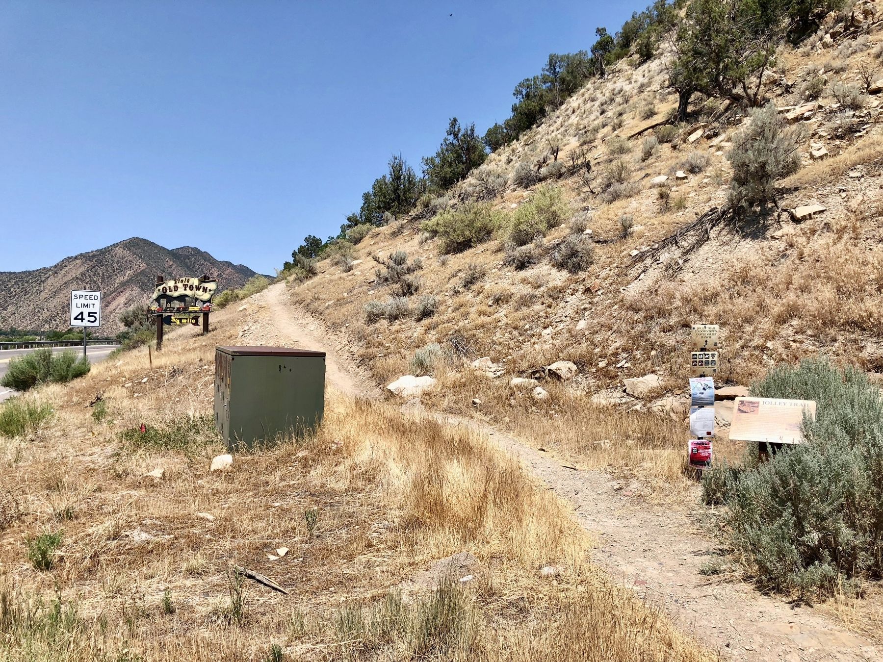
Location. 39° 34.134′ N, 107° 31.115′ W. Marker is in New Castle, Colorado, in Garfield County. Marker is on U.S. 6 west of Burning Mountain Avenue, on the right when traveling west. Touch for map. Marker is in this post office area: New Castle CO 81647, United States of America. Touch for directions.
Other nearby markers. At least 8 other markers are within 11 miles of this marker, measured as the crow flies. St. John's Episcopal Church (approx. 0.7 miles away); New Castle Coal Mine Memorial (approx. ¾ mile away); Odd Fellows Hall (approx. 0.9 miles away); Exchange Stables (approx. 0.9 miles away); Barry Building (approx. 0.9 miles away); Citizens National Bank Building (approx. 10.4 miles away); I.O.O.F. Building (approx. 10.4 miles away); McCoy-Armory Building (approx. 10½ miles away). Touch for a list and map of all markers in New Castle.
Credits. This page was last revised on July 14, 2018. It was originally submitted on July 13, 2018, by Mark Hilton of Montgomery, Alabama. This page has been viewed 431 times since then and 52 times this year. Photos: 1, 2. submitted on July 13, 2018, by Mark Hilton of Montgomery, Alabama.

