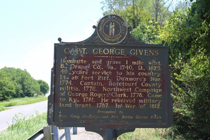
Capt. George Givens
Presented by Jane Craig Reichlein and Mrs. Birdie Givens Pickle.
Erected 1970 by Kentucky Historical Society & Kentucky Department of Highways. (Marker Number 1328.)
Topics and series. This historical marker is listed in these topic lists: Colonial Era • Patriots & Patriotism • War of 1812 • War, US Revolutionary. In addition, it is included in the Kentucky Historical Society series list. A significant historical year for this entry is 1740.
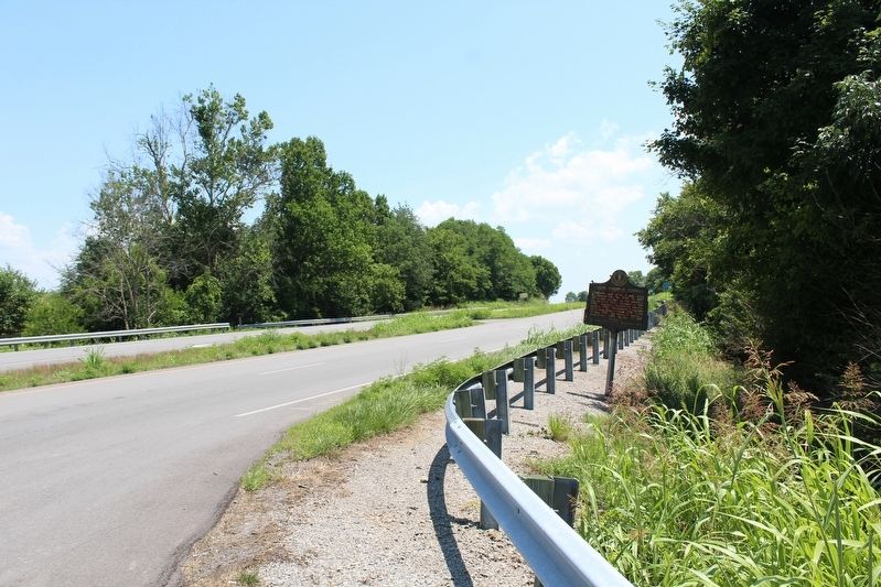
Location. 37° 35.519′ N, 84° 43.481′ W. Marker is near Danville, Kentucky, in Boyle County. Marker is at the intersection of U.S. 150 and Airport Road (Kentucky Route 1273), on the right when traveling south on U.S. 150. Touch for map. Marker is in this post office area: Danville KY 40422, United States of America. Touch for directions.
Other nearby markers. At least 8 other markers are within 5 miles of this marker, measured as the crow flies. Clark's Station (approx. 3.4 miles away); Traveler's Rest (approx. 3.6 miles away); Isaac Shelby (approx. 3.7
More about this marker. This marker is on the southwest corner of the intersection, and in Boyle County. Google Streetview shows it just a few feet from the intersection of U.S. 150 and Airport Road. However, the Kentucky Historical Society online list locates it in Lincoln County, which is a few hundred feet south of the intersection on U.S. 150. Airport Road. Airport Road also promptly enters Lincoln County.
Captain Given’s homesite was in Lincoln County. You can consider this marker a Lincoln County historical marker that was placed outside of the county to better point to the road that would take you there.
Regarding Capt. George Givens. In 1985, the family burial plot originally located on Capt. George Givens’ homesite was relocated to Buffalo Springs Cemetery in Stanford in Lincoln County when the airport in Boyle County was preparing to extend its runway.
Credits. This page was last revised on October 5, 2020. It was originally submitted on July 14, 2018, by Tom Bosse of Jefferson City, Tennessee. This page has been viewed 415 times since then and 33 times this year. Photos: 1, 2. submitted on July 14, 2018, by Tom Bosse of Jefferson City, Tennessee. • Andrew Ruppenstein was the editor who published this page.

