Near Fresno in Coshocton County, Ohio — The American Midwest (Great Lakes)
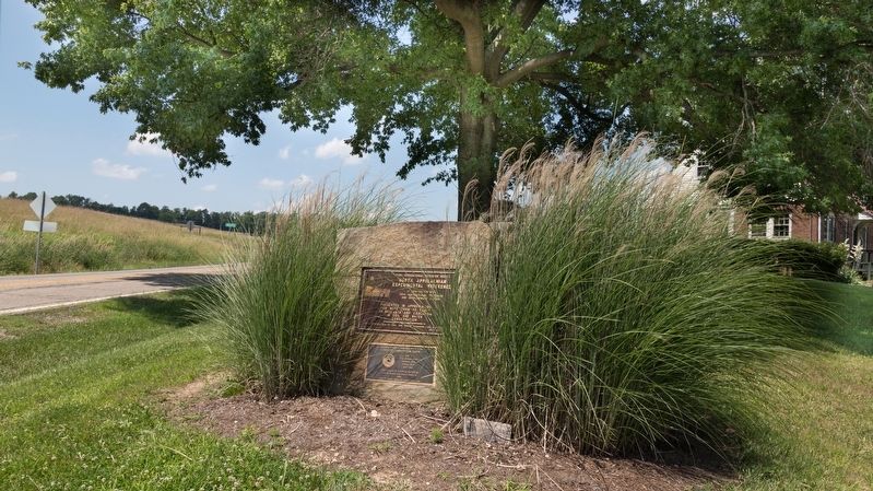
North Appalachian Experimental Watershed
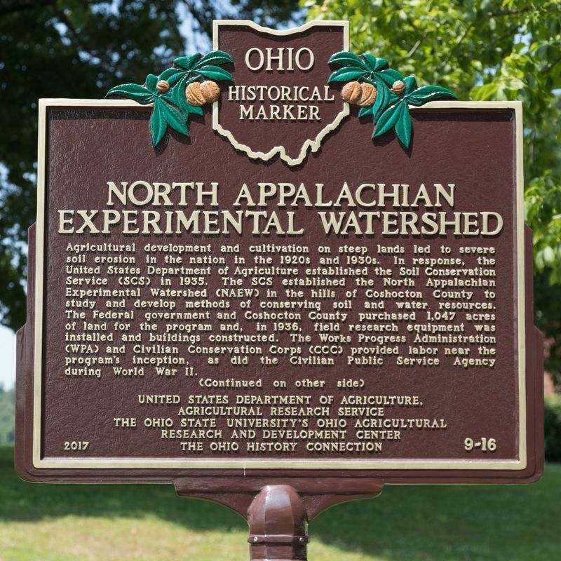
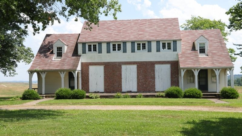
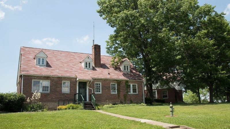
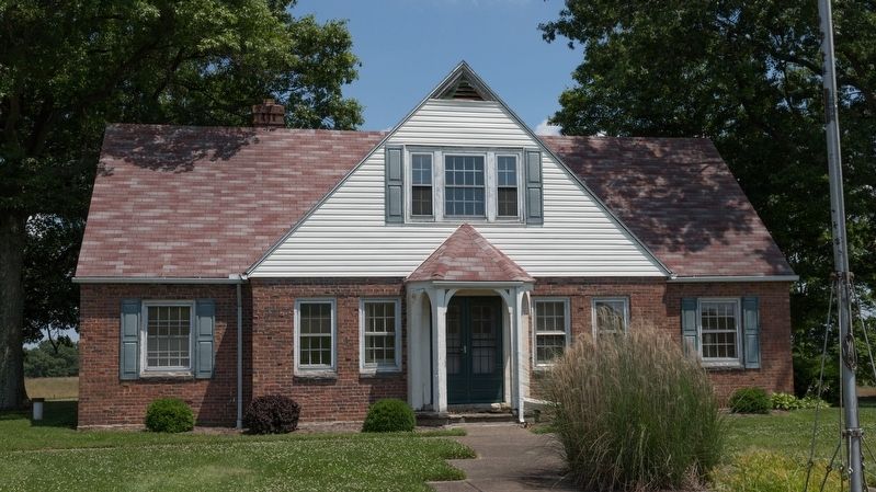
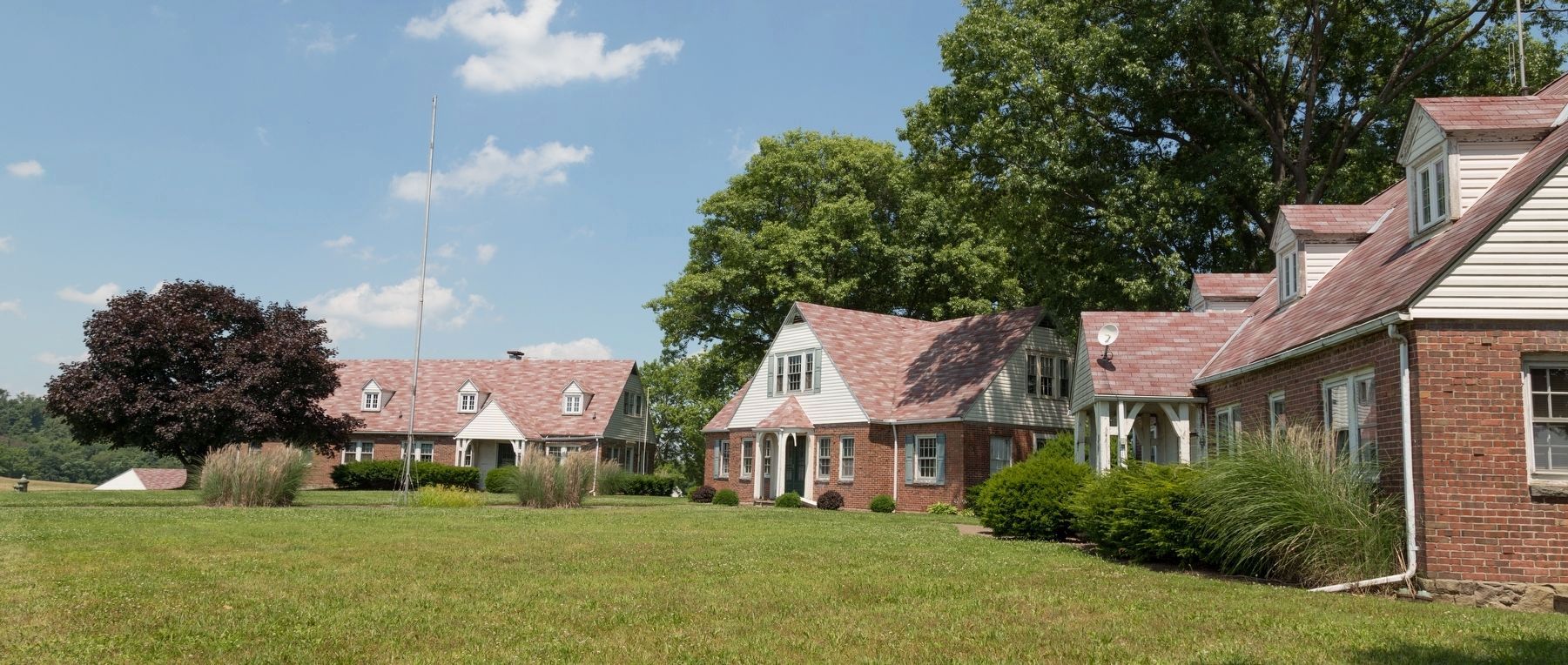
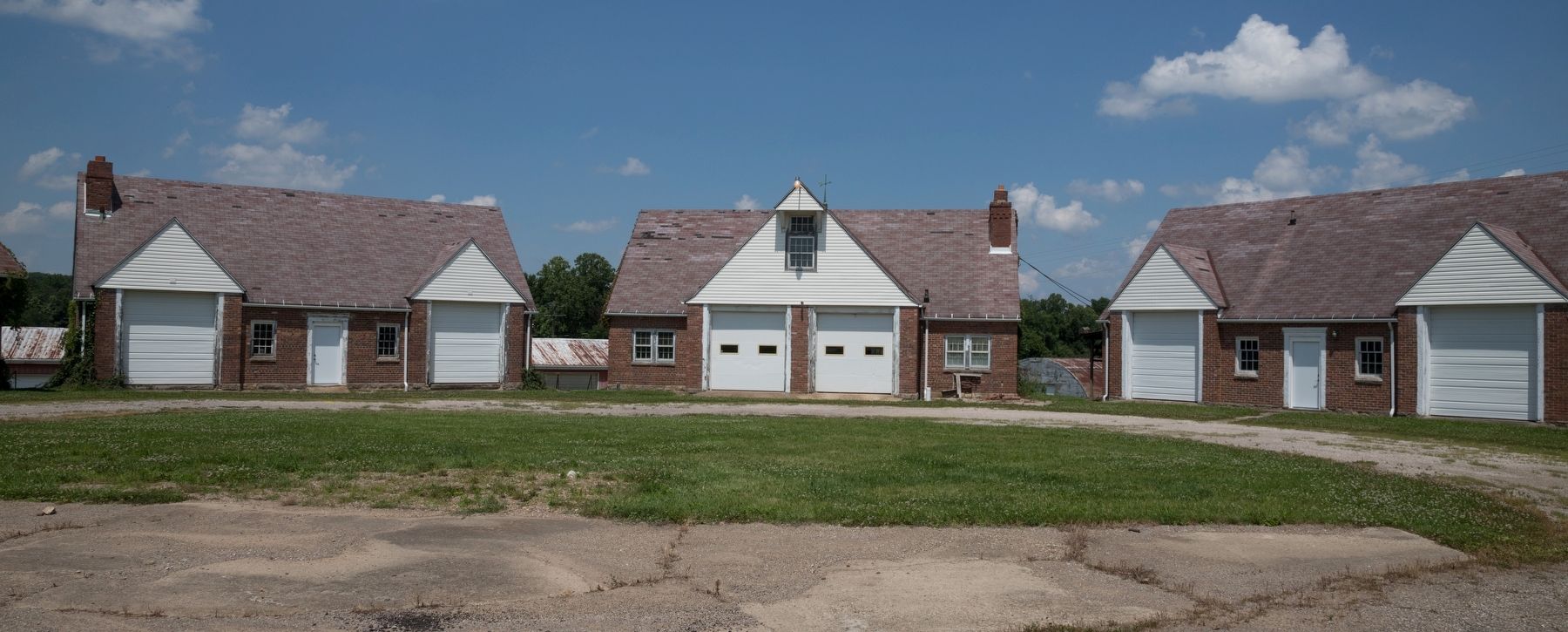
Agricultural development and cultivation on steep lands led to severe soil erosion in the nation in the 1920s and 1930s. In response, the United States Department of Agriculture established the Soil Conservation Service SCS) in 1935. The SCS established the North Appalachian Experimental Watershed (NAEW) in the hills of Coshocton County to study and develop methods of conserving soil and water resources. The Federal government and Coshocton County purchased 1,047 acres of land for the program and, in 1936, field research equipment was installed and buildings constructed. The Works Progress Administration (WPA) and Civilian Conservation Corps (CCC) provided labor near the program’s inception, as did the Civilian Public Service Agency during World War II.
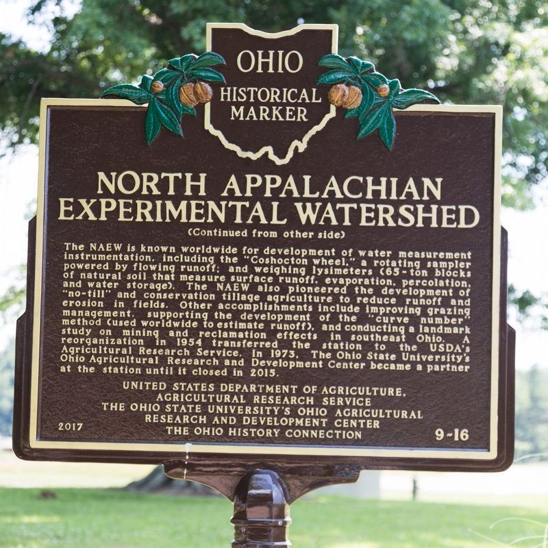
The NAEW is known worldwide for development of water measurement instrumentation, including the “Coshocton wheel,” a rotating sampler powered by flowing runoff; and weighing lysimeters (65-ton blocks of natural soil that measure surface runoff, evaporation, percolation and water storage). The NAEW also pioneered the development of “no-till” and conservation tillage agriculture to reduce runoff and erosion in fields. Other accomplishments include improving grazing management, supporting the development of the "curve number" method (used worldwide to estimate runoff), and conducting a landmark study on mininq and reclamation effects in southeast Ohio. A reorganization in 1954 transferred the station to the USDA’s Agricultural Research Service. In 1973, The Ohio State University’s Ohio Agricultural Research and Development Service Center became a partner at the station until it closed in 2015.
Erected 2017 by United States Department of Agriculture Agricultural Research Service, the Ohio State University’s Ohio Agricultural Research and Development Center, and The Ohio History Connection. (Marker Number 9-16.)
Topics and series. This historical marker is listed in this topic list: Agriculture. In addition, it is included in the Ohio Historical Society / The Ohio History Connection series list. A significant historical year for this entry is 1935.
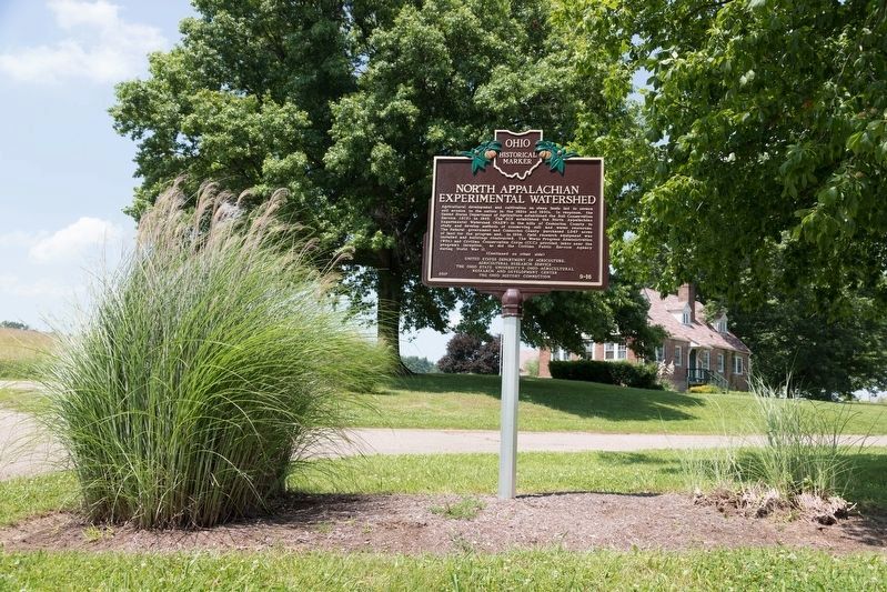
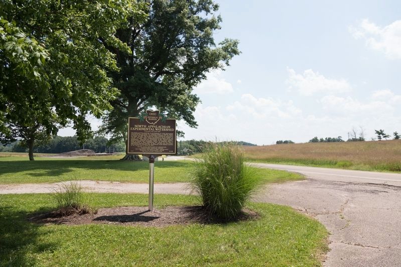
Location. 40° 22.208′ N, 81° 47.558′ W. Marker is near Fresno, Ohio, in Coshocton County. Marker is on Ohio Route 621 just south of Local Road 188, on the left when traveling south. It is at the site of the former North Appalachian Experimental Watershed station. Touch for map. Marker is in this post office area: Fresno OH 43824, United States of America. Touch for directions.
Other nearby markers. At least 8 other markers are within 8 miles of this marker, measured as the crow flies. Dr. William Edgar Lower Co-Founder of Cleveland Clinic (approx. 1.8 miles away); Koquechagachton
(approx. 5.8 miles away); Bouquet’s Camp (approx. 6½ miles away); Pennsylvania National Guard Troop Train Accident, September 1950 (approx. 6.8 miles away); West Lafayette Volunteer Fire Department Centennial (approx. 6.9 miles away); Bouquet’s Expedition (approx. 6.9 miles away); Broadhead Massacre (approx. 7.1 miles away); Bouquet’s Trail, 1764 / Port Washington Road (approx. 7.3 miles away).
Also see . . .
1. North Appalachian Experimental Watershed (Coshocton, Ohio). Landscape Partnership website entry (Submitted on June 13, 2022, by Larry Gertner of New York, New York.)
2. North Appalachian Experimental Watershed. USDA brochure PDF (Submitted on June 13, 2022, by Larry Gertner of New York, New York.)
3. Former OARDC/USDA research facility for sale in Coshocton Co. 2016 article by Christ Kick in Farm and Dairy. “The property consists of forest, crop and pasture land, and 21 buildings totaling 70,000 square feet. The online listing price is $500,000 and at least one bid has already been placed. Bids are being accepted online, with a closing date of Sept. 19.” (Submitted on July 14, 2018.)
4. Google Arial Map of the North Appalachian Experimental Watershed Buildings. (Submitted on July 14, 2018.)
Photographed By J. J. Prats, July 1, 2018
5. Nearby Plaques
“USDA – Agricultural Research Service North Appalachian Experimental Watershed in cooperation with Ohio Agricultural Research and Development Center. Presented in appreciation of more than 40 years of research and education in soil and water conservation. —Ohio Federation of Soil and Water Conservation Districts, July 23, 1976.”
“In lasting tribute to those who served in the Civilian Conservation Corps. Site of Camp William Green, Company 1509, Fresno, Ohio. 1937–1942. Plaque placed in tribute to the CCC by John R. Bryant and Edward Caton Jr., 1991. Lloyd B. Owens, Research Leader, USDA-ARS.”
“In lasting tribute to those who served in the Civilian Conservation Corps. Site of Camp William Green, Company 1509, Fresno, Ohio. 1937–1942. Plaque placed in tribute to the CCC by John R. Bryant and Edward Caton Jr., 1991. Lloyd B. Owens, Research Leader, USDA-ARS.”
Credits. This page was last revised on June 11, 2023. It was originally submitted on July 14, 2018, by J. J. Prats of Powell, Ohio. This page has been viewed 664 times since then and 57 times this year. Last updated on June 7, 2023, by Grant & Mary Ann Fish of Galloway, Ohio. Photos: 1, 2, 3, 4, 5, 6, 7, 8, 9, 10. submitted on July 14, 2018, by J. J. Prats of Powell, Ohio. • J. Makali Bruton was the editor who published this page.
