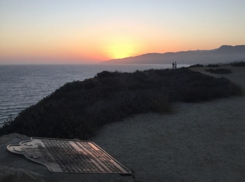
Central Malibu in Los Angeles County, California — The American West (Pacific Coastal)
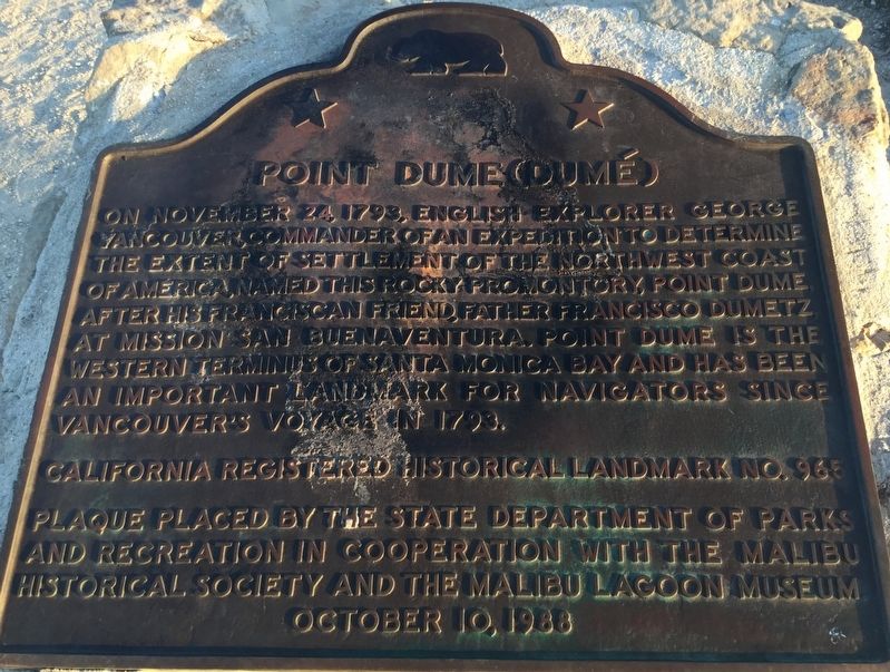
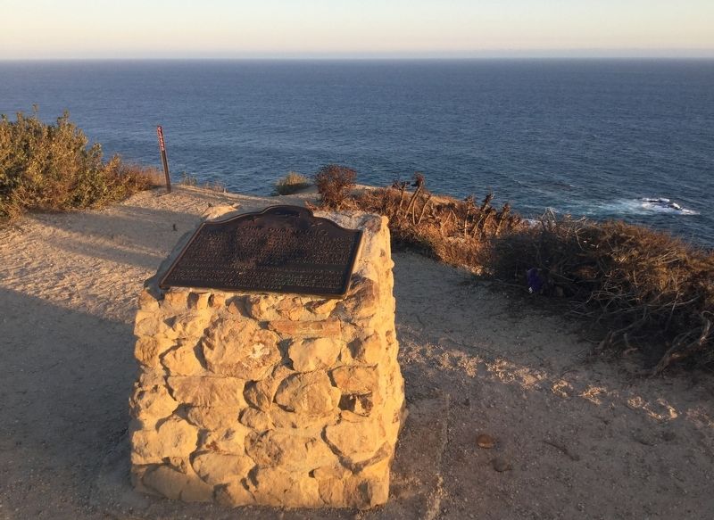
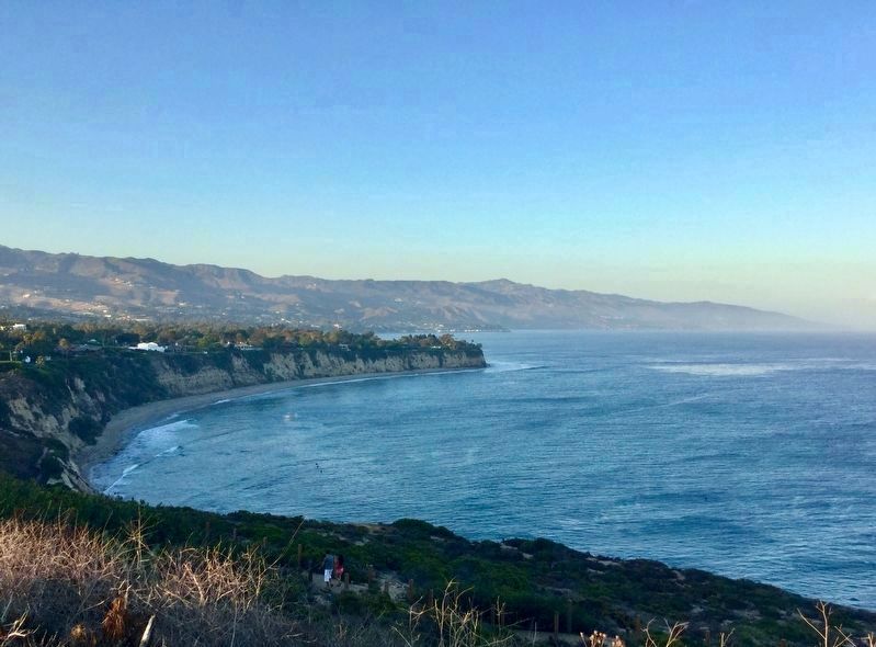
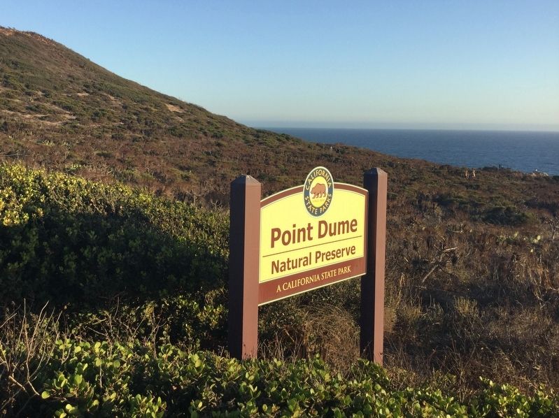
Point Dume
Erected 1988 by California State Parks, the Malibu Historical Society, and Malibu Lagoon Museum. (Marker Number 965.)
Topics and series. This historical marker is listed in these topic lists: Exploration • Parks & Recreational Areas. In addition, it is included in the California Historical Landmarks series list.
Location. 34° 0.096′ N, 118° 48.38′ W. Marker is in Malibu, California, in Los Angeles County. It is in Central Malibu. Marker can be reached from the intersection of Cliffside Drive and Birdview Avenue. Walk to the top of the hill. Touch for map. Marker is in this post office area: Malibu CA 90265, United States of America. Touch for directions.
Other nearby markers. At least 8 other markers are within 8 miles of this marker, measured as the crow flies. M*A*S*H (approx. 7.4 miles away); Malibu's earliest history (approx. 7.6 miles away); This Parcel of Land (approx. 7.6 miles away); Malibu Lagoon (approx. 7.6 miles away); Ballard Mountain (approx. 7.6 miles away); Lath house (approx. 7.6 miles away); The Adamson House (approx. 7.6 miles away); Green Man sculpture (approx. 7.6 miles away). Touch for a list and map of all markers in Malibu.
More about this marker. The small parking lot on Cliffside Drive is usually full. Other parking areas are one mile away.
Credits. This page was last revised on January 30, 2023. It was originally submitted on July 15, 2018, by Craig Baker of Sylmar, California. This page has been viewed 366 times since then and 54 times this year. Last updated on September 7, 2018, by Craig Baker of Sylmar, California. Photos: 1, 2, 3, 4, 5. submitted on July 15, 2018, by Craig Baker of Sylmar, California. • Syd Whittle was the editor who published this page.
