Near Montrose in Montrose County, Colorado — The American Mountains (Southwest)
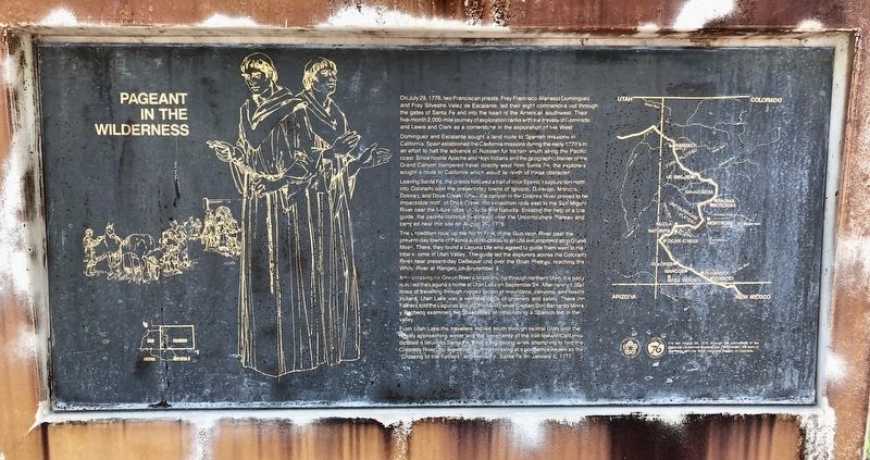
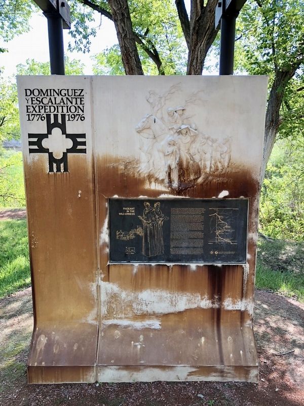
Pageant in the Wilderness
Dominguez and Escalante sought a land route to Spanish missions in California. Spain established the California missions during the early 1770's in an effort to halt the advance of Russian fur traders south along the Pacific coast. Since hostile Apache and Hopi Indians and the geographic barrier of the Grand Canyon hampered travel directly west from Santa Fe, the explorers sought a route to California which would lie north of these obstacles.
Leaving Sarita Fe, the priests followed a trail of prior Spanish exploration north into Colorado past the present-day towns of Ignacio, Durango, Mancos, Dolores, and Dove Creek When the canyon oi the Dolores River proved to be impassable north of Dove Creek, the expedition rode east to the San Miguel River near the future sites of Nucla and Naturita, Enlisting the help of a Ute guide, the padres continued eastward over the Uncornpahgre Plateau and camped near this site on August 20, 1776.
The expedition rode up the North Fork of the Gunnison River past the present-day towns of Paonia and Hotchkiss to an Ute encampment atop Grand Mesa. There, they found a Laguna Ute who agreed to guide them west to his tribe's home in Utah Valley. The guide led the explorers across the Colorado River near present-day DeBeque and over the Roan Plateau, reaching the White River at Rangely on September 9.
After crossing the Green River and continuing through northern Utah, the party reached the Laguna's home at Utah Lake on September 24. After nearly1,000 miles of travelling through rugged terrain of mountains, canyons, and hostile Indians, Utah Lake was a veritable oasis of greenery. and safety There the Fathers told the Lagunas about Christianity while Captain Don Bernardo Miera y Pacheco examined the Possibilities of establishing a Spanish fort in the valley.
From Utah Lake the travelers moved south through central Utah until the rapidly approaching winter and the uncertainty of the trail toward California dictated a return to Santa Fe. After a frightening week attempting to ford the Colorado River the expedition found a crossing at a point since known as the Crossing of the Fathers and arrive in Santa Fe on January 2, 1777.
Erected 1976 by the Colorado Centennial-Bicentennial Commission, the town of Montrose, and the State Historical Society of Colorado.
Topics. This historical marker is listed in these topic lists: Exploration • Roads & Vehicles • Waterways & Vessels. A significant historical date for this entry is January 2, 1777.
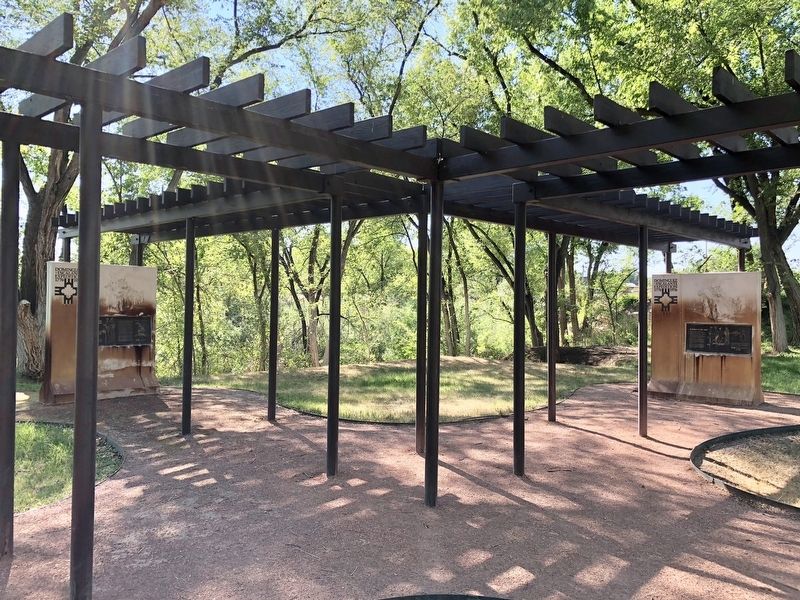
Location. 38° 26.134′ N, 107° 52.049′ W. Marker is near Montrose, Colorado, in Montrose County. Marker can be reached from Chipeta Road north of U.S. 550, on the right when traveling north. Located in area of the Ute Indian Museum and Conquistador Memorial. Touch for map. Marker is at or near this postal address: 17253 Chipeta Road, Montrose CO 81401, United States of America. Touch for directions.
Other nearby markers. At least 8 other markers are within 2 miles of this marker, measured as the crow flies. Building An Empire: The Spanish Frontier (here, next to this marker); In Behalf of the Light (a few steps from this marker); The Dominguez-Escalante Expedition / Dominguez-Escalante Country (a few steps from this marker); So Bold, So Beautiful a Land (a few steps from this marker); The Ute Way of Life (a few steps from this marker); The Utes / Uncompahgre River Country / Ouray (1833-1880) / Chipeta (1843-1924) (about 300 feet away, measured in a direct line); The Hangin' Tree (approx. ¼ mile away); Early Irrigation in the Uncompahgre Valley (approx. 1.3 miles away). Touch for a list and map of all markers in Montrose.
Credits. This page was last revised on July 16, 2018. It was originally submitted on July 16, 2018, by Mark Hilton of Montgomery, Alabama. This page has been viewed 173 times since then and 18 times this year. Photos: 1, 2, 3. submitted on July 16, 2018, by Mark Hilton of Montgomery, Alabama.


