Near Leola in McPherson County, South Dakota — The American Midwest (Upper Plains)
Prairie Potholes
A haven for Waterfowl
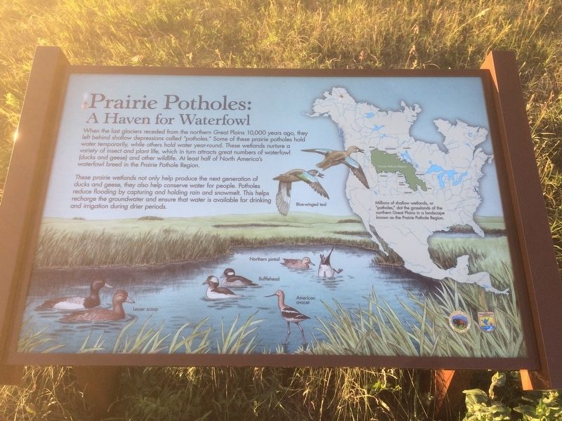
When the last Glaciers receded from the Northern Great Plains 10,000 years ago, they left behind shallow depressions called "potholes." Some of these prairie potholes hold water temporarily, while others hold water year-round. These wetlands nurture a variety of insect and plant life, which in turn attracts great numbers of waterfowl (ducks and geese) and other wildlife. At least half of North America's waterfowl breed in the Prairie Pothole Region.
These prairie wetlands not only help produce the next generation of ducks and geese, they also help conserve water for people. Potholes reduce flooding by capturing and holding snowmelt. This helps recharge the groundwater and ensure that water is available for drinking and irrigation during drier periods.
(Picture Caption)
Millions of shallow wetlands or "potholes," dot the grasslands of the Northern Great Plains in a landscape known as the Prairie Pothole Region.
Erected by Department of the Interior and US Fish & Wildlife Service.
Topics. This historical marker is listed in this topic list: Environment.
Location. 45° 44.316′ N, 99° 11.033′ W. Marker is near Leola, South Dakota, in McPherson County. Marker is on State Highway 10, one mile east of 350 Ave, on the right when traveling west. Touch for map. Marker is in this post office area: Leola SD 57456, United States of America. Touch for directions.
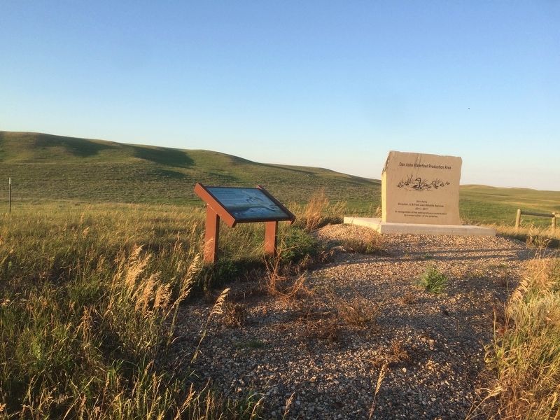
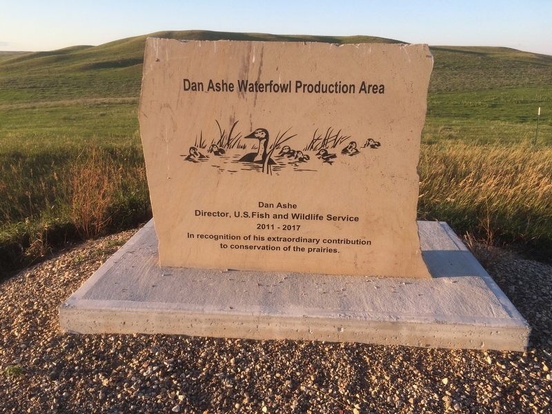
Other nearby markers. At least 2 other markers are within 5 miles of this marker, measured as the crow flies. Dan Ashe Waterfowl Production Area (within shouting distance of this marker); Samuel H. Ordway, Jr. Memorial Prairie (approx. 4.3 miles away).
Credits. This page was last revised on July 22, 2018. It was originally submitted on July 21, 2018, by Ruth VanSteenwyk of Aberdeen, South Dakota. This page has been viewed 118 times since then and 12 times this year. Photos: 1, 2, 3. submitted on July 21, 2018, by Ruth VanSteenwyk of Aberdeen, South Dakota. • Andrew Ruppenstein was the editor who published this page.


