Harpers Ferry in Jefferson County, West Virginia — The American South (Appalachia)
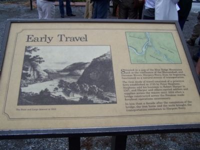
Early Travel
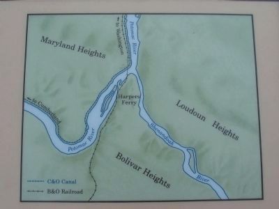
The first mode of travel consisted of a primitive ferry established in 1733 by Peter Stephens. Stephens sold his business to Robert Harper in 1747, and Harper and others carried settlers and supplies across the waters until 1824 when a bridge constructed across the Potomac made ferryboat operations unnecessary.
In less than a decade after the completion of the bridge, the iron horse and the mule brought the transportation revolution to Harpers Ferry.
Topics. This historical marker is listed in these topic lists: Bridges & Viaducts • Colonial Era • Industry & Commerce • Railroads & Streetcars • Waterways & Vessels. A significant historical year for this entry is 1733.
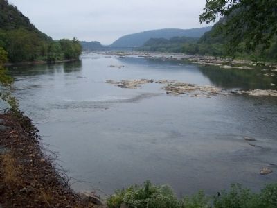
Location. 39° 19.378′ N, 77° 43.719′ W. Marker is in Harpers Ferry, West Virginia, in Jefferson County. Marker can be reached from South Potomac Street. Located at the "Point" overlooking the Potomac and Shenandoah Rivers, in Harpers Ferry National Historical Site. Touch for map. Marker is in this post office area: Harpers Ferry WV 25425, United States of America. Touch for directions.
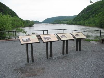
Other nearby markers. At least 8 other markers are within walking distance of this marker. The Race to the Ohio (here, next to this marker); The Iron Horse Wins (here, next to this marker); The Mule Falters (here, next to this marker); The Point (a few steps from this marker); Where Three National Trails Meet (within shouting distance of this marker); Capture of Harpers Ferry (within shouting distance of this marker); a different marker also named Capture of Harpers Ferry (within shouting distance of this marker); a different marker also named Capture of Harpers Ferry (within shouting distance of this marker). Touch for a list and map of all markers in Harpers Ferry.
Credits. This page was last revised on December 28, 2019. It was originally submitted on October 4, 2008, by Bill Pfingsten of Bel Air, Maryland. This page has been viewed 1,303 times since then and 15 times this year. Photos: 1. submitted on October 4, 2008, by Bill Pfingsten of Bel Air, Maryland. 2, 3. submitted on May 25, 2009, by Craig Swain of Leesburg, Virginia. 4. submitted on October 4, 2008, by Bill Pfingsten of Bel Air, Maryland.


