Richmond in Wayne County, Indiana — The American Midwest (Great Lakes)
The Boundary Line Between Government and Indian Lands
Inscription.
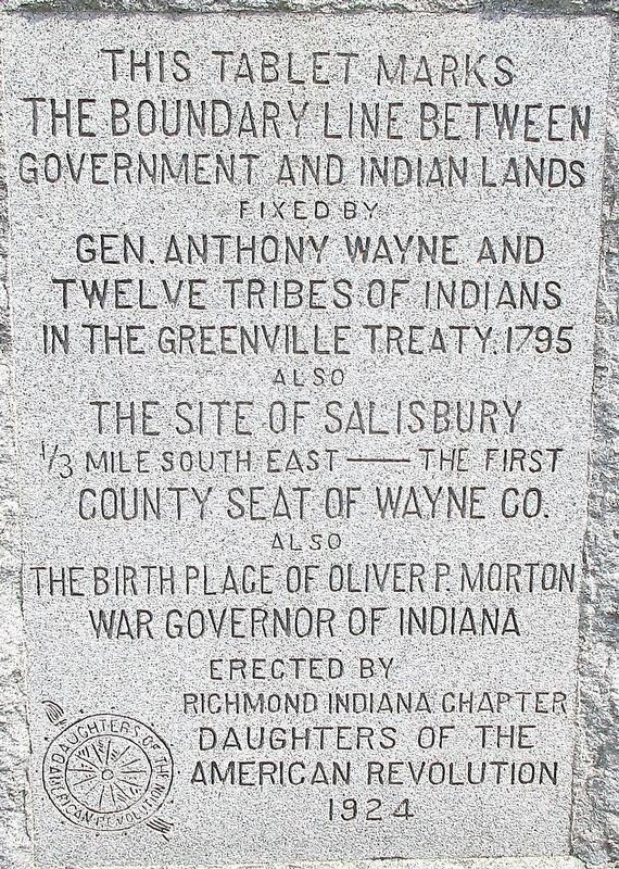
the Boundary Line Between
Government and Indian Lands
fixed by
Gen. Anthony Wayne and
Twelve Tribes of Indians
in the Greenville Treaty 1795
also
The Site of Salisbury
1/3 mile south east ---- the first
County Seat of Wayne Co.
also
The Birthplace of Oliver P. Morton
War Governor of Indiana
erected by
Richmond Indiana Chapter
Daughters of the
American Revolution
1924
Erected 1924 by Richmond Indiana Chapter Daughters of the American Revolution.
Topics and series. This historical marker is listed in these topic lists: Native Americans • Political Subdivisions • Settlements & Settlers. In addition, it is included in the Daughters of the American Revolution series list.
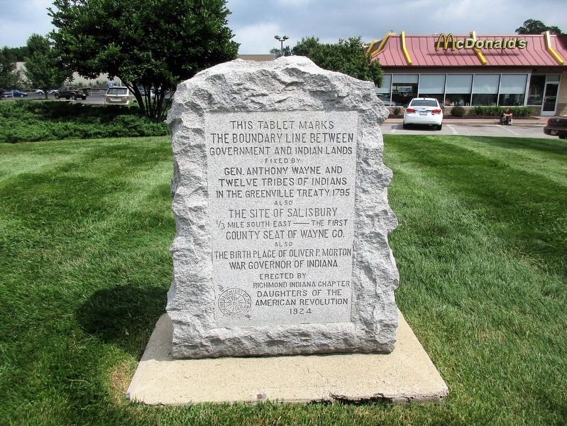
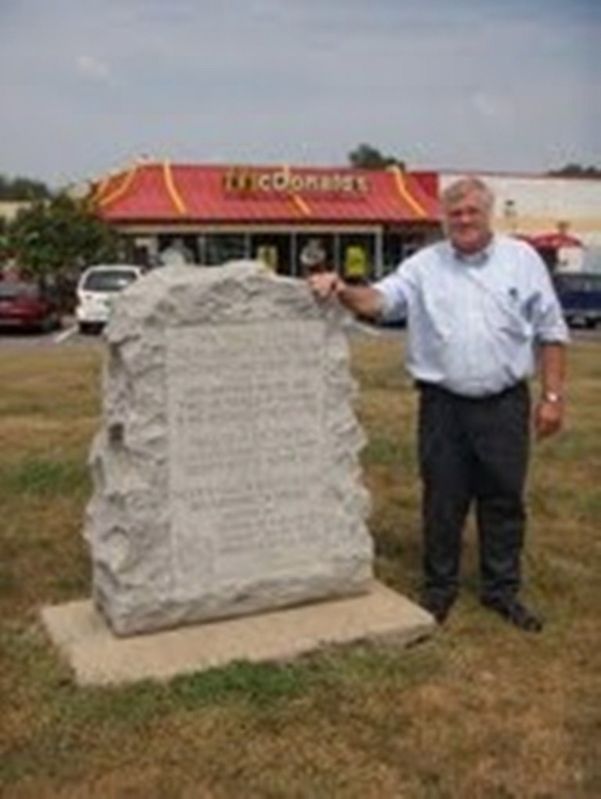
Location. 39° 49.367′ N, 84° 56.631′ W. Marker is in Richmond, Indiana, in Wayne County. Marker is on Old National Road (U.S. 40), on the right when traveling west. marker is directly in front of McDonald's. Touch for map. Marker is at or near this postal address: 3148 National Rd W, Richmond IN 47374, United States of America. Touch for directions.
Other nearby markers. At least 8 other markers are within 3 miles of this marker, measured as the crow flies. Mary B. Thistlethwaite Birdsall Home (approx. 2 miles away); Hoagy Carmichael (approx. 2.3 miles away); Homer Rodeheaver (approx. 2.3 miles away); Alberta Hunter (approx. 2.3 miles away); Duke Ellington (approx. 2.3 miles away); Jelly Roll Morton (approx. 2.3 miles away); Charley Patton (approx. 2.3 miles away); Ernest & Hattie Frost Stoneman (approx. 2.3 miles away). Touch for a list and map of all markers in Richmond.
Additional keywords. Old National road
Credits. This page was last revised on July 23, 2018. It was originally submitted on July 22, 2018, by Rev. Ronald Irick of West Liberty, Ohio. This page has been viewed 406 times since then and 18 times this year. Photos: 1, 2, 3. submitted on July 22, 2018, by Rev. Ronald Irick of West Liberty, Ohio. • Andrew Ruppenstein was the editor who published this page.


