Cambridge City in Wayne County, Indiana — The American Midwest (Great Lakes)
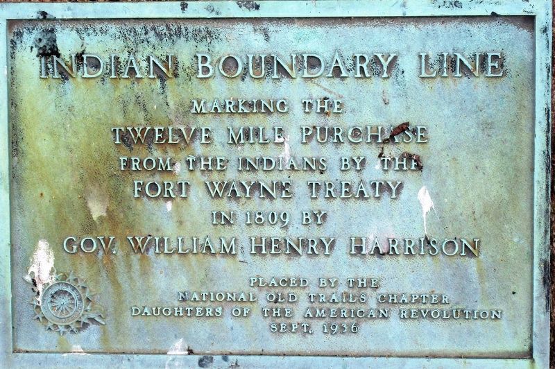
Indian Boundary Line
The Treaty of Fort Wayne
— The Twelve Mile Purchase/ The Ten O’Clock Line —
marking the
Twelve Mile Purchase
from the Indians by the
Fort Wayne Treaty
in 1809 by
Gov. William Henry Harrison
Placed by the
National Old Trails Chapter
Daughters of the American Revolution
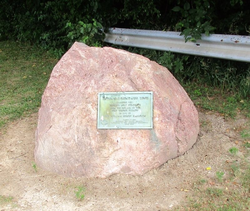
Erected 1936 by National Old Trails Chapter Daughters of the American Revolution.
Topics and series. This historical marker is listed in these topic lists: Native Americans • Settlements & Settlers • Wars, US Indian. In addition, it is included in the Daughters of the American Revolution, and the Former U.S. Presidents: #09 William Henry Harrison series lists.
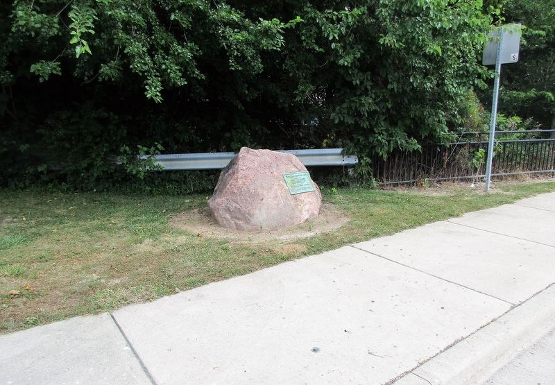
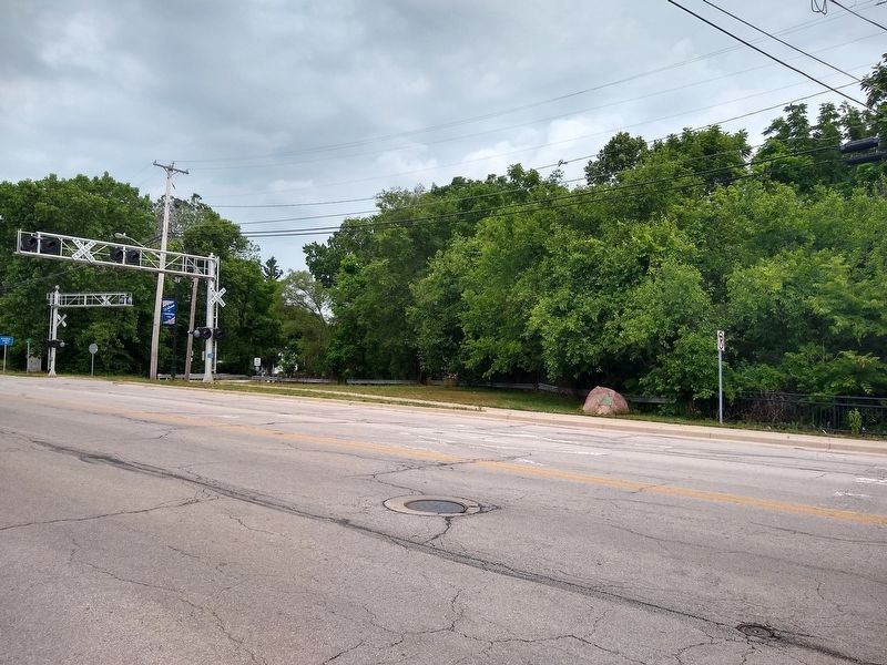
Location. 39° 48.742′ N, 85° 10.827′ W. Marker is in Cambridge City, Indiana, in Wayne County. Marker is at the intersection of Old National Road (U.S. 40) and Dale Avenue, on the right when traveling west on Old National Road. marker is at RR crossing. Touch for map. Marker is at or near this postal address: 554 W National Rd, Cambridge City IN 47327, United States of America. Touch for directions.
Other nearby markers. At least 8 other markers are within walking distance of this marker. Huddleston House (approx. 0.4 miles away); Cambridge City (approx. half a mile away); 1904-1925 "Dinkey" (approx. half a mile away); Cambridge City Veterans Memorial (approx. half a mile away); General Solomon Meredith (approx. half a mile away); Lincoln's Funeral Train (approx. half a mile away); Iron Brigade Commander (approx. 0.9 miles away); Virginia Claypool Meredith (approx. one mile away). Touch for a list and map of all markers in Cambridge City.
Credits. This page was last revised on June 27, 2020. It was originally submitted on July 22, 2018, by Rev. Ronald Irick of West Liberty, Ohio. This page has been viewed 409 times since then and 49 times this year. Photos: 1, 2, 3. submitted on July 22, 2018, by Rev. Ronald Irick of West Liberty, Ohio. 4. submitted on June 27, 2020, by Tom Bosse of Jefferson City, Tennessee. • Andrew Ruppenstein was the editor who published this page.


