Downtown Miami in Miami-Dade County, Florida — The American South (South Atlantic)
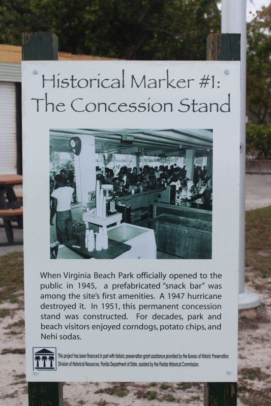
The Concession Stand
This project has been financed in part with historic preservation assistance provided by Bureau of Historic Preservation, Division of Historical Resources, Florida Department of State, assisted by the Florida Historical Commission.
Erected by Virginia Key Beach Park. (Marker Number 1.)
Topics. This historical marker is listed in these topic lists: African Americans • Parks & Recreational Areas. A significant historical year for this entry is 1951.
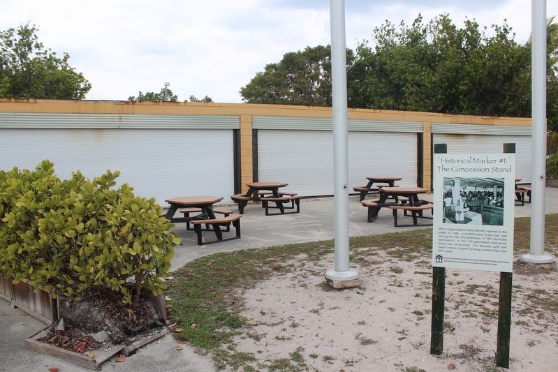
Location. 25° 44.133′ N, 80° 9.373′ W. Marker is in Miami, Florida, in Miami-Dade County. It is in Downtown Miami. Marker can be reached from Virginia Key Drive, 0.4 miles east of Rickenbacker Causeway. Marker is located near the state marker for the park. Touch for map. Marker is at or near this postal address: 4020 Virginia Beach Drive, Key Biscayne FL 33149, United States of America. Touch for directions.
Other nearby markers. At least 8 other markers are within 4 miles of this marker, measured as the crow flies. Historical Marker #2 Dance Pavilion (within shouting distance of this marker); Virginia Key Beach Park (within shouting distance of this marker); Office of Dr. James Jackson, Miami's First Physician (approx. 2.8 miles away); Professor Charles Torrey Simpson/Professor Charles Torrey Simpson Park (approx. 2.9 miles away); Congregation Beth Jacob (approx. 2.9 miles away); Brickell Park (approx. 3.1 miles away); Mary Brickell Park (approx. 3.1 miles away); Saving the Circle (approx. 3.1 miles away). Touch for a list and map of all markers in Miami.
Credits. This page was last revised on February 3, 2023. It was originally submitted on July 23, 2018, by Tim Fillmon of Webster, Florida. This page has been viewed 162 times since then and 17 times this year. Photos: 1, 2. submitted on July 23, 2018, by Tim Fillmon of Webster, Florida. • Andrew Ruppenstein was the editor who published this page.

