Near Millersburg in Presque Isle County, Michigan — The American Midwest (Great Lakes)
Lake Huron
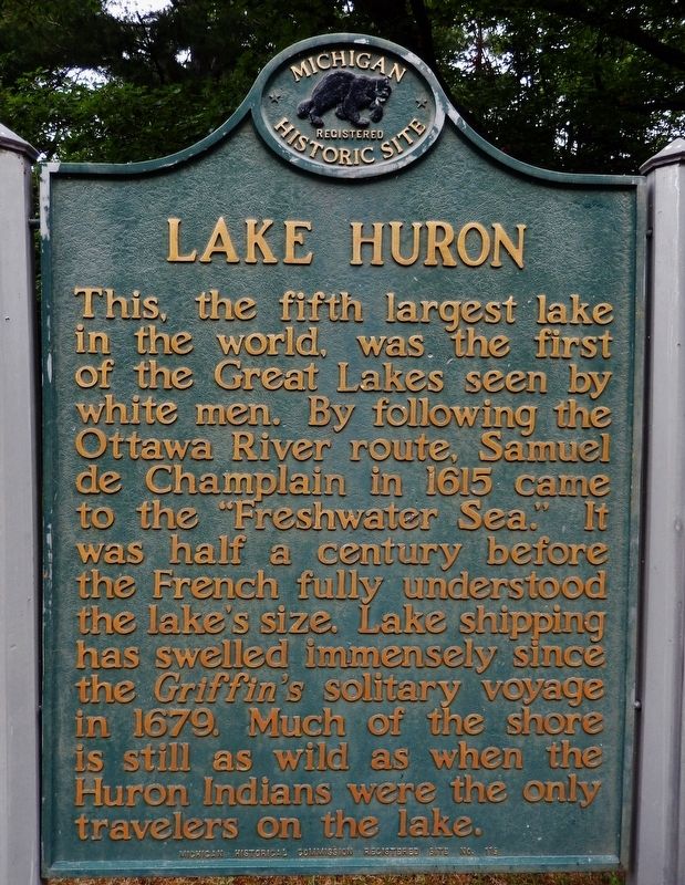
This, the fifth largest lake in the world, was the first of the Great Lakes seen by white men. By following the Ottawa River route, Samuel de Champlain in 1615 came to the “Freshwater Sea.” It was half a century before the French fully understood the lake’s size. Lake shipping has swelled immensely since the Griffin’s solitary voyage in 1679. Much of the shore is still as wild as when the Huron Indians were the only travelers on the lake.
Erected 1957 by Michigan Historical Commission. (Marker Number 119.)
Topics and series. This historical marker is listed in these topic lists: Exploration • Industry & Commerce • Native Americans • Waterways & Vessels. In addition, it is included in the Michigan Historical Commission series list. A significant historical year for this entry is 1615.
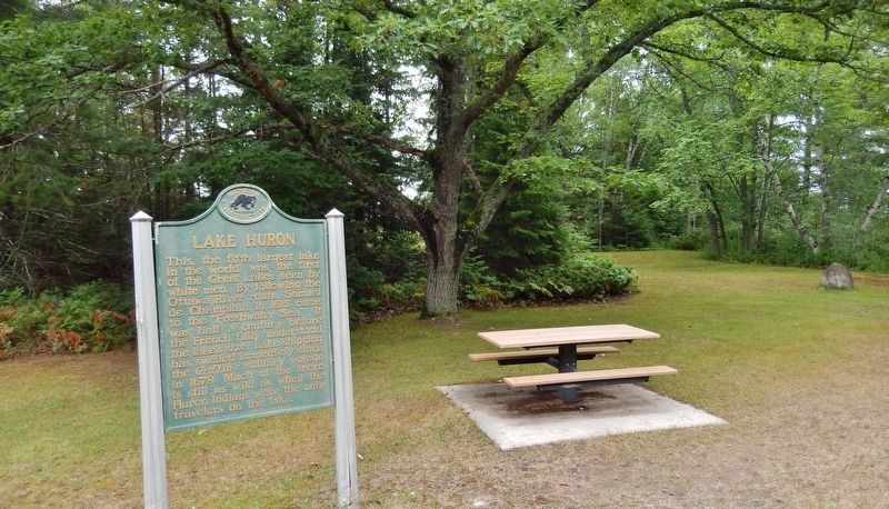
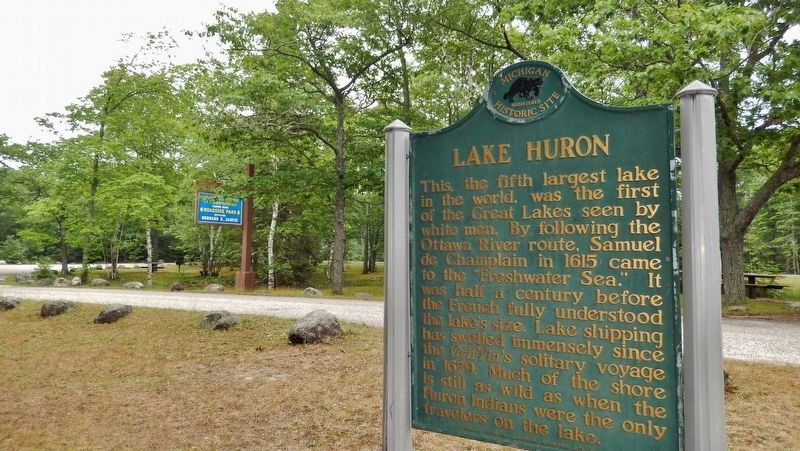
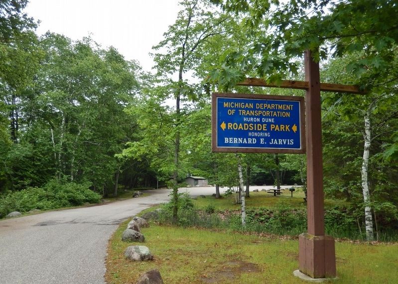
Location. 45° 35.385′ N, 84° 9.81′ W. Marker is near Millersburg, Michigan, in Presque Isle County. Marker is on U.S. 23 north of Hammond Bay Road, on the left when traveling south. Marker is located beside the parking lot in Huron Dunes Roadside Park. Touch for map. Marker is in this post office area: Millersburg MI 49759, United States of America. Touch for directions.
Other nearby markers. At least 2 other markers are within 8 miles of this marker, measured as the crow flies. Bearinger Union School (approx. 6.6 miles away); Youth Foundation of America Camp (approx. 7½ miles away).
Also see . . .
1. Great Lakes - Lake Huron. Lake Huron was originally called La Mer Douce, the sweet or freshwater sea by French explorers. Later, Lake Huron took its name from the Huron Indian people who lived along its beaches. This Great Lake forms the eastern outline of Michigan's "Mitten," including the distinctive "Thumb" which is dotted with port towns and shelters Saginaw Bay. Lake Huron is the second largest Great Lake and the fifth largest fresh water lake on the planet, with a surface area of 23,000 square miles. First paddled by Native Americans, and then voyageurs, traders and missionaries in the late 1600s with the start of the fur trade, Lake Huron became a vital shipping route. (Submitted on July 24, 2018, by Cosmos Mariner of Cape Canaveral, Florida.)
2. The Wreck of the Griffon. Shipwreck World website entry:
The Griffon was built by La Salle near Niagara Falls and was the first ship to sail on the upper Great Lakes. On its maiden voyage, it sailed across Lake Erie, up the Detroit and St. Clair Rivers, and across Lake Huron and Lake Michigan. On its way back to Niagara from Green Bay, the Griffon disappeared with its entire crew and valuable cargo of furs commencing the centuries-long
quest to discover its fate. (Submitted on July 24, 2018, by Cosmos Mariner of Cape Canaveral, Florida.)
3. Samuel de Champlain. Mariners' Museum & Park website entry:
Samuel de Champlain was a French explorer and cartographer best known for establishing and governing settlements in Canada, mapping the St. Lawrence River, discovering the Great Lakes, and founding the city of Quebec. In 1615, he traveled up the Ottawa River to Lake Nipissing and the French River. He saw the Great Lakes for the first time when he arrived at Georgian Bay on the east side of Lake Huron. (Submitted on July 24, 2018, by Cosmos Mariner of Cape Canaveral, Florida.)
4. Wyandot People. Wikipedia entry:
The Wyandot people or Wendat, also called the Huron Nation and Huron people, in most historic references are believed to have been the most populous confederacy of Iroquoian indigenous peoples of North America. They traditionally spoke the Wyandot language, a Northern Iroquoian language and were believed to number over 30,000 at the time the first European trader-explorers made contact with them in the second decade of the 17th century. By the 15th century, the pre-contact Wyandots settled in the large area from the north shores of most of present-day Lake Ontario, northwards up to Georgian Bay. From this homeland, these more numerous cousins of the League of the Iroquois first encountered the French
explorer Samuel de Champlain in 1615. (Submitted on July 24, 2018, by Cosmos Mariner of Cape Canaveral, Florida.)
Credits. This page was last revised on May 29, 2022. It was originally submitted on July 24, 2018, by Cosmos Mariner of Cape Canaveral, Florida. This page has been viewed 245 times since then and 25 times this year. Photos: 1, 2, 3, 4. submitted on July 24, 2018, by Cosmos Mariner of Cape Canaveral, Florida. • Andrew Ruppenstein was the editor who published this page.


