Deadwood in Lawrence County, South Dakota — The American Midwest (Upper Plains)
Upper Main Street
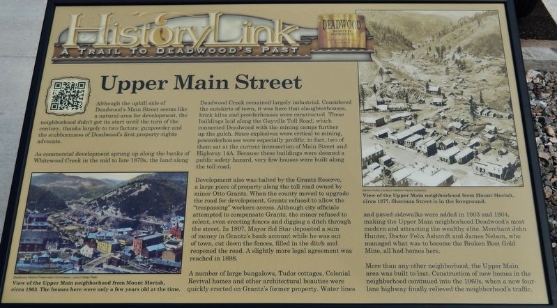
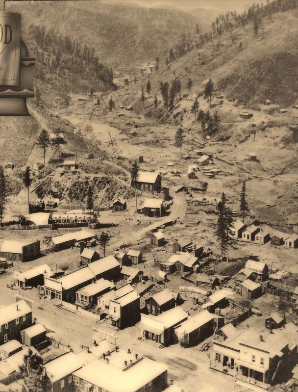
As commercial development sprung up along the banks of Whitewood Creek in the mid to late 1870s, the land along Deadwood Creek remained largely industrial. Considered the outskirts of town, it was here that slaughterhouses, brick kilns and powderhouses were constructed. These buildings laid along the Gayville Toll Road, which connected Deadwood with the mining camps further up the gulch. Since explosives were critical to mining, powderhouses were especially prolific; in fact, two of them sat at the current intersection of Main Street and Highway 14A. Because these buildings were deemed a public safety hazard, very few houses were built along the toll road.
Development also was halted by the Grantz Reserve, a large piece of property along the toll road owned by miner Otto Grantz. When the county moved to upgrade the road for development, Grantz refused to allow the "trespassing" workers access. Although city officials attempted to compensate Grantz, the miner refused to relent, even erecting fences and digging a ditch through the street. In 1897, Mayor Sol Star deposited a sum of money in Grantz's bank account while he was out of town, cut down the fences, filled in the ditch and reopened the road. A slightly more legal agreement was reached in 1898.
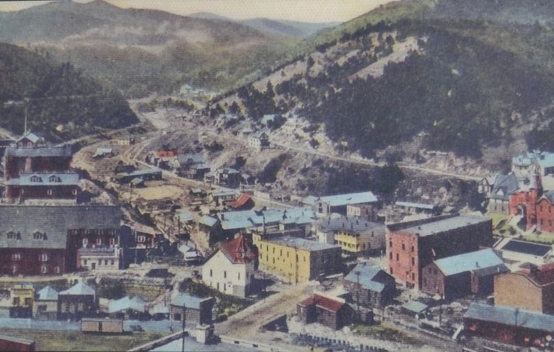
A number of large bungalows, Tudor cottages, Colonial Revival homes and other architectural beauties were quickly erected on Grantz's former property. Water lines and paved sidewalks were added in 1903 and 1904, making the Upper Main neighborhood Deadwood's most modern and attracting the wealthy elite. Merchant John Hunter, Doctor Felix Ashcroft and James Nelson, who managed what was to become the Broken Boot Gold Mine, all had homes here.
More than any other neighborhood, the Upper Main area was built to last. Construction of new homes in the neighborhood continued into the 1960s, when a new four-lane highway finally relieved the neighborhood's traffic.
Erected by The Deadwood Historic Preservation Commission.
Topics. This historical marker is listed in these topic lists: Industry & Commerce • Roads & Vehicles • Settlements & Settlers. A significant historical year for this entry is 1897.
Location. 44° 22.455′ N, 103° 43.964′ W. Marker is in Deadwood, South Dakota, in Lawrence County. Marker is at the intersection of Main Street and Armory Street, on the
right when traveling north on Main Street. Marker is located beside the sidewalk at the southeast corner of the intersection, facing Main Street. Touch for map. Marker is in this post office area: Deadwood SD 57732, United States of America. Touch for directions.
Other nearby markers. At least 8 other markers are within walking distance of this marker. Saint Ambrose Parish (within shouting distance of this marker); Deadwood Changing -- 1884, 1909 and Now (about 500 feet away, measured in a direct line); Spanish-American War Memorial (about 500 feet away); School District #02 (about 500 feet away); Serving the Black Hills (about 600 feet away); Gold Discovery in the Great Sioux Reservation (about 600 feet away); Bonanza in the Hills (about 600 feet away); Riches from Mud (about 600 feet away). Touch for a list and map of all markers in Deadwood.
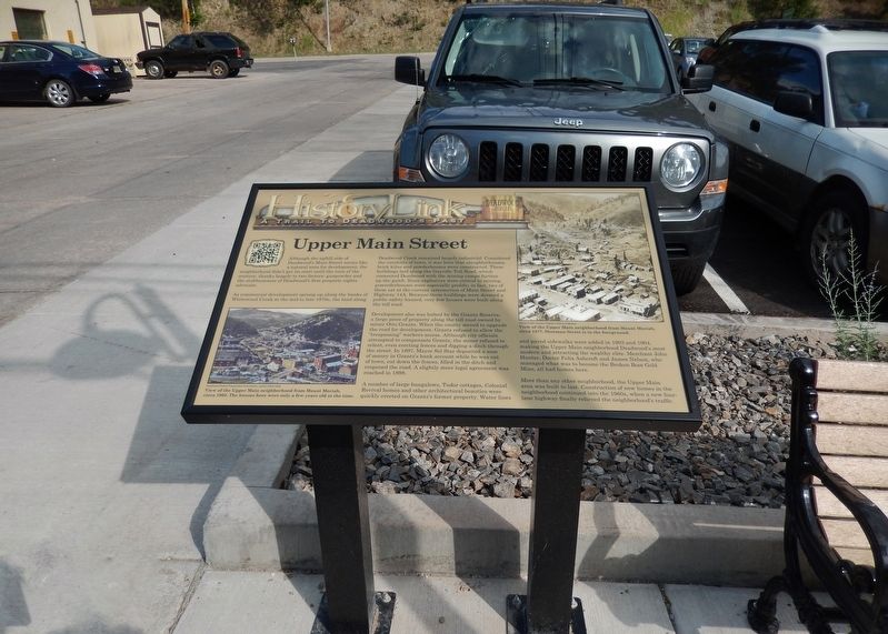
More about this marker. Marker is a large composite plaque, mounted horizontally on two waist-high posts.
Credits. This page was last revised on August 3, 2018. It was originally submitted on August 2, 2018, by Cosmos Mariner of Cape Canaveral, Florida. This page has been viewed 132 times since then and 15 times this year. Photos: 1. submitted on August 2, 2018, by Cosmos Mariner of Cape Canaveral, Florida. 2, 3, 4. submitted on August 3, 2018, by Cosmos Mariner of Cape Canaveral, Florida. • Andrew Ruppenstein was the editor who published this page.


