Deadwood in Lawrence County, South Dakota — The American Midwest (Upper Plains)
Track or Trail: Sweat Equity Played a Role
Inscription.
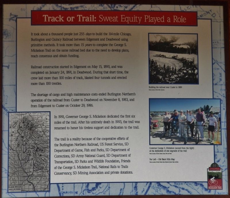
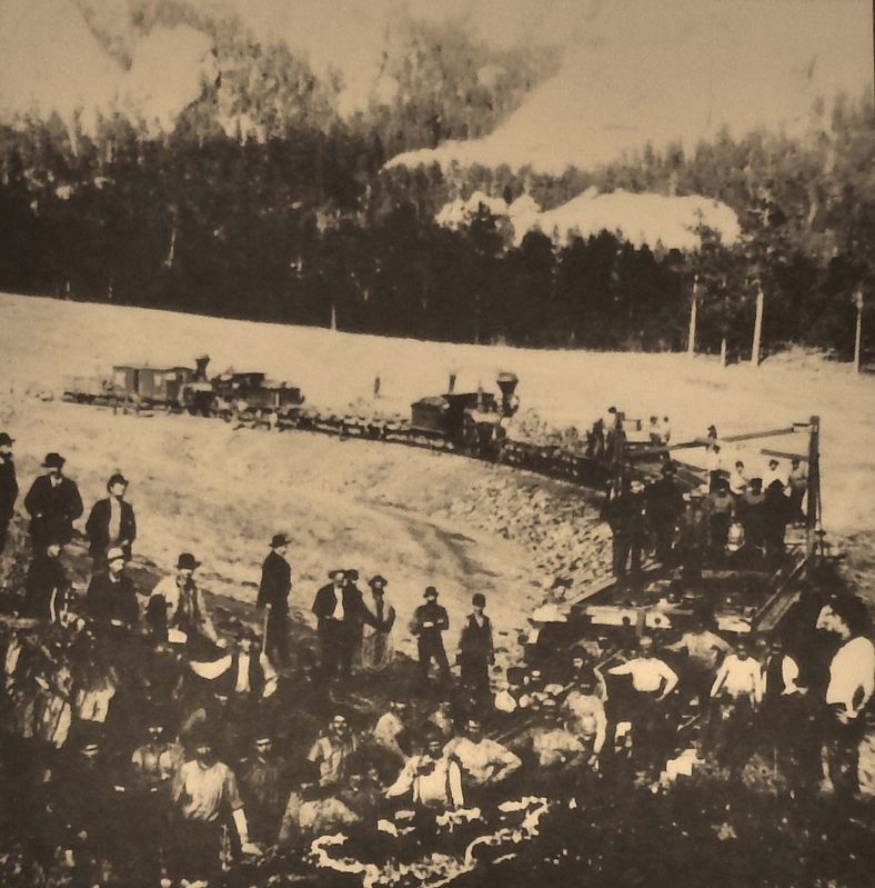
It took about a thousand people just 255 days to build the 114-mile Chicago, Burlington and Quincy Railroad between Edgemont and Deadwood using primitive methods. It took more than 15 years to complete the George S. Mickelson Trail on the same railroad bed due to the need to develop plans, reach consensus and obtain funding.
Railroad construction started in Edgemont on May 15, 1890, and was completed on January 24, 1891, in Deadwood. During that short time, the crew laid more than 100 miles of track, blasted four tunnels and erected more than 100 trestles.
The shortage of cargo and high maintenance costs ended Burlington Northern's operation of the railroad from Custer to Deadwood on November 8, 1983, and from Edgemont to Custer on October 29, 1986.
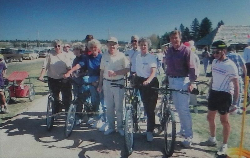
In 1991, Governor George S. Mickelson dedicated the first six miles of the trail. After his untimely death in 1993, the trail was renamed to honor his tireless support and dedication to the trail.
The trail is a reality because of the cooperative efforts of the Burlington Northern Railroad, US Forest Service, SD Department of Game, Fish and Parks, SD Department of Corrections, SD Army National Guard, SD Department of Transportation, SD Parks and Wildlife Foundation, Friends of the George S. Mickelson Trail, National Rails to Trails Conservancy, SD Mining Association and private donations.
Erected by George S. Mickelson Trail.
Topics. This historical marker is listed in these topic lists: Bridges & Viaducts • Man-Made Features • Parks & Recreational Areas • Railroads & Streetcars. A significant historical date for this entry is May 15, 1890.
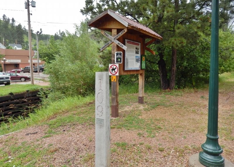
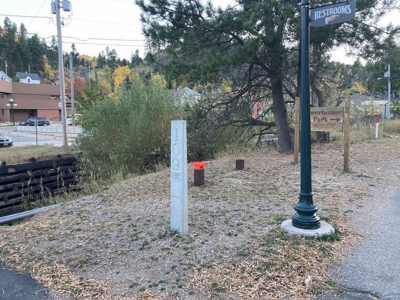
Location. Marker is missing. It was located near 44° 22.211′ N, 103° 43.752′ W. Marker was in Deadwood, South Dakota, in Lawrence County. Marker could be reached from the intersection of Charles Street (CanAm Highway) (U.S. 85) and Cedar Lane, on the right when traveling south. Marker is located on the George S. Mickelson Rail Trail, just south of the trailhead and parking lot, on the south/east side of the trail. Touch for map. Marker was at or near this postal address: 32 Charles St, Deadwood SD 57732, United States of America. Touch for directions.
Other nearby markers. At least 8 other markers are within walking distance of this location. McGovern Hill (a few steps from this marker); Chicago Burlington & Quincy Railroad Yard (within shouting distance of this marker); George S. Mickelson Trail (within shouting distance of this marker); The Resilient Whitewood Creek (about 300 feet away, measured in a direct line); Burlington Interurban Power Plant (about 400 feet away); Radial Brick Smokestack (about 400 feet away); Interurban Trolley (about 400 feet away); Cleveland (about 400 feet away). Touch for a list and map of all markers in Deadwood.
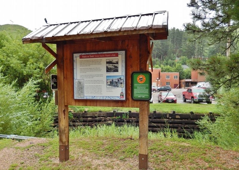
More about this marker. Marker is a large, composite plaque, mounted within a wooden kiosk structure.
Credits. This page was last revised on October 8, 2021. It was originally submitted on August 3, 2018, by Cosmos Mariner of Cape Canaveral, Florida. This page has been viewed 223 times since then and 10 times this year. Last updated on October 7, 2021, by Connor Olson of Kewaskum, Wisconsin. Photos: 1. submitted on August 3, 2018, by Cosmos Mariner of Cape Canaveral, Florida. 2, 3, 4, 5. submitted on August 4, 2018, by Cosmos Mariner of Cape Canaveral, Florida. 6. submitted on October 7, 2021, by Connor Olson of Kewaskum, Wisconsin. • Mark Hilton was the editor who published this page.
