Pluma in Lawrence County, South Dakota — The American Midwest (Upper Plains)
Cheyenne & Deadwood Stage Route
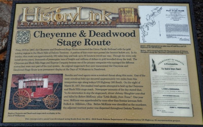
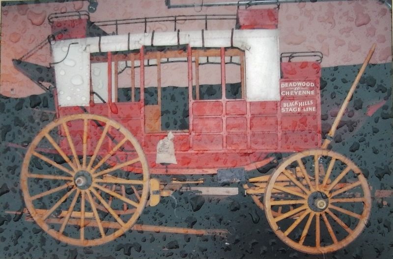
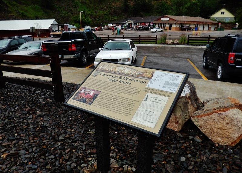
From 1876 to 1887, the Cheyenne and Deadwood Stage Route connected the Union Pacific Railroad with the gold mining regions in the Black Hills of Dakota Territory. A portion of this route once passed the location before you. In its heyday, this route was approximately 350 miles long and took up to 50 hours to travel one way. Though the route only lasted eleven years, thousands of passengers, tons of freight and millions of dollars in gold travelled along the trail. The Cheyenne and Black Hills Stage and Express Company became one of the primary companies who managed the different routes that were once part of the trail system. An original stagecoach that once transversed the Cheyenne and Deadwood Stage Route is on permanent display at the Days of 76 Museum in Deadwood.
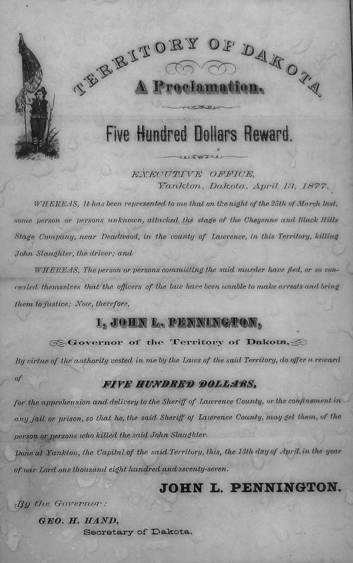
Bandits and road agents were a constant threat along this route. One of the most notorious hold-ups occurred approximately two miles from this interpretive sign along todays US Highway 385 South. On the night of March 25, 1877, five masked road agents attempted to hold up the Cheyenne and Black Hills stage coach. Newspaper accounts of the day stated that, ”in the commotion to stop the stagecoach, driver Johnny Slaughter was shot and killed by Robert McKimie, alias “Little Reddy, from Texas". One year later, McKimie was apprehended by none other than frontier lawman Seth Bullock in Hillsboro, Ohio. Before McKimie was identified as the murderer, the adjacent warrant poster was dispersed throughout Dakota Territory.
Erected by The Deadwood Historic Preservation Commission.
Topics. This historical marker is listed in these topic lists: Native Americans • Roads & Vehicles • Settlements & Settlers. A significant historical date for this entry is March 25, 1877.
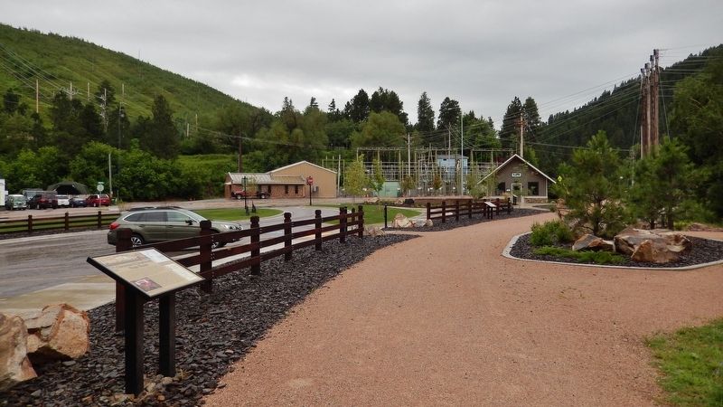
Location. 44° 21.6′ N, 103° 44.315′ W. Marker is in Pluma, South Dakota, in Lawrence County. Marker is on CanAm Highway (U.S. 85) north of U.S. 385, on the left when traveling north. Marker is located beside the Mickelson Trail, on the west side of the highway, adjacent to the Pluma, South Dakota Visitor Center parking lot. Touch for map. Marker is in this post office area: Deadwood SD 57732, United States of America. Touch for directions.
Other nearby markers. At least 8 other markers are within walking distance of this marker. George S. Mickelson Trail (a few steps from this marker); Flooding & The Railroads (within shouting distance of this marker); Good Roads Movement & Lawrence County (within shouting distance of this marker); Pluma: Right Place, Right Time (within shouting distance
of this marker); Pluma's Power Plants (within shouting distance of this marker); Rev. L.R.S. Ferguson Ski & Sled Area (approx. ¾ mile away); Cleveland (approx. ¾ mile away); Partners in Land Preservation (approx. ¾ mile away). Touch for a list and map of all markers in Pluma.
More about this marker. Marker is a large composite plaque, mounted horizontally on two waist-high posts.
Also see . . .
1. History of the Cheyenne & Black Hills Stage Line (1876-1886). Legends of America website entry:
Though the stageline was more familiarly called the Deadwood Stage, it was officially called the Cheyenne & Black Hills Stage. It was established in 1876 by Red Cloud Agency trader, Captain F. D. “Frank” Yates and his father-in-law, W. H. Brown, who formed F. D. Yates and Co. Though several attempts had been made prior to this time to establish a route from Cheyenne, Wyoming to Deadwood, South Dakota, but no one had been successful due to the many Indian attacks. However, Yates was successful and the first stage was run on September 25, 1876. (Submitted on August 5, 2018, by Cosmos Mariner of Cape Canaveral, Florida.)
2. Stage Route to Deadwood: Tracing a Historic Route to the Black Hills. Rider magazine website entry (Submitted on February 20, 2024, by Larry Gertner of New York, New York.)
Credits. This page was last revised on February 20, 2024. It was originally submitted on August 4, 2018, by Cosmos Mariner of Cape Canaveral, Florida. This page has been viewed 1,252 times since then and 178 times this year. Photos: 1. submitted on August 4, 2018, by Cosmos Mariner of Cape Canaveral, Florida. 2, 3, 4, 5, 6. submitted on August 5, 2018, by Cosmos Mariner of Cape Canaveral, Florida. • Bill Pfingsten was the editor who published this page.
