Prattsville in Grant County, Arkansas — The American South (West South Central)
Clash at Whitten's Mill
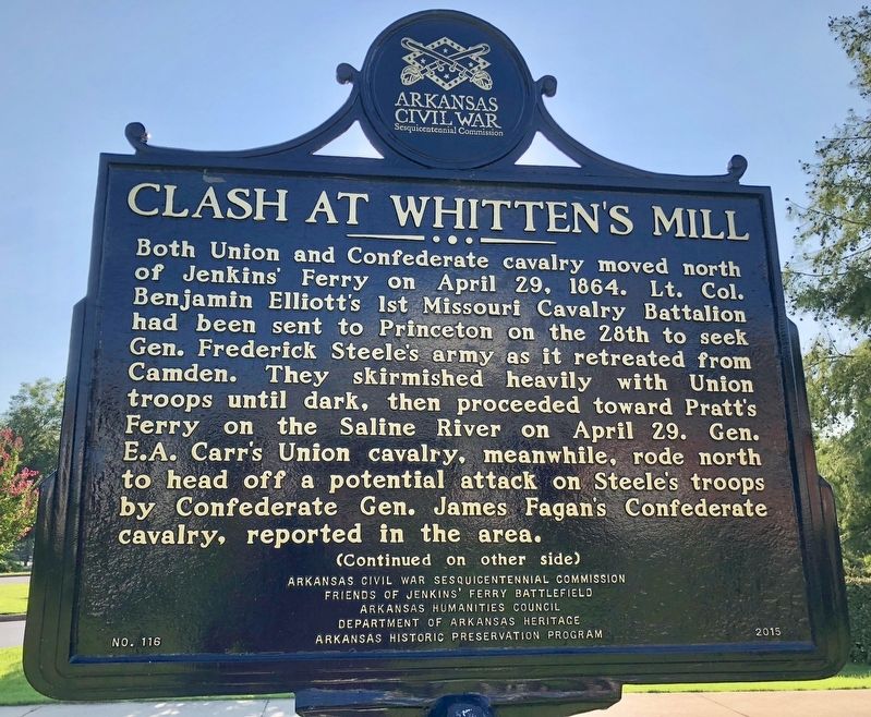
Front
Both Union and Confederate cavalry moved north of Jenkins’ Ferry on April 29, 1864. Lt. Col. Benjamin Elliott’s 1st Missouri Cavalry Battalion had been sent to Princeton on the 28th to seek Gen. Frederick Steele’s army as it retreated from Camden. They skirmished heavily with Union troops until dark, then proceeded toward Pratt’s Ferry on the Saline River on April 29. Gen. E.A. Carr’s Union cavalry, meanwhile, rode north to head off a potential attack on Steele’s troops by Confederate Gen. James Fagan’s Confederate cavalry, reported in the area.
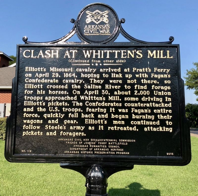
Rear
Erected 2015 by Arkansas Civil War Sesquicentennial Commission, Friends of Jenkins’ Ferry Battlefield, Arkansas Humanities Council, Department of Arkansas Heritage, Arkansas Historic Preservation Program. (Marker Number 116.)
Topics and series. This historical marker is listed in these topic lists: War, US Civil • Waterways & Vessels. In addition, it is included in the Arkansas Civil War Sesquicentennial Commission series list. A significant historical date for this entry is April 29, 1864.
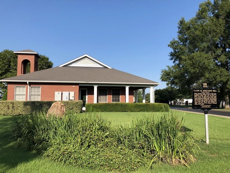
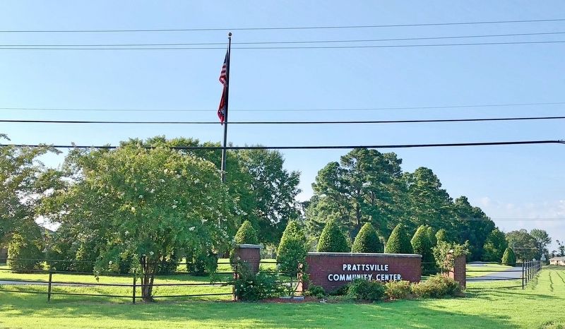
Location. 34° 18.905′ N, 92° 33.171′ W. Marker is in Prattsville, Arkansas, in Grant County. Marker can be reached from U.S. 270 west of Salburnit Road (State Route 291), on the right when traveling west. Located on the grounds of the Prattsville Community Center. Touch for map. Marker is at or near this postal address: 9108 US-270, Prattsville AR 72129, United States of America. Touch for directions.
Other nearby markers. At least 8 other markers are within 8 miles of this marker, measured as the crow flies. Refugee Children / Supplies Destroyed (approx. 5.6 miles away); Battle of Jenkins' Ferry (approx. 7.1 miles away); General Samuel Rice / Confederate Cannons Captured (approx. 7.1 miles away); Jenkins Ferry / Pontoon Bridge (approx. 7.2 miles away); Red River Campaign (approx. 7.2 miles away); Unknown Soldiers (approx. 7.8 miles away); American Legion B-17 Veterans Memorial Park (approx. 7.8 miles away); American Legion B-17 Veterans Memorial (approx. 7.8 miles away).
Credits. This page was last revised on August 5, 2018. It was originally submitted on August 5, 2018, by Mark Hilton of Montgomery, Alabama. This page has been viewed 453 times since then and 28 times this year. Photos: 1, 2, 3, 4. submitted on August 5, 2018, by Mark Hilton of Montgomery, Alabama.


