Mysteries of the Wetlands
Ghost forests, alluring lights and the Rougarou
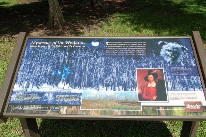
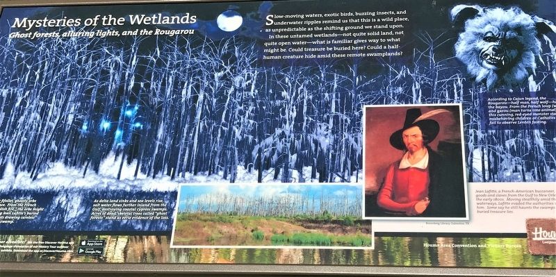
Slow-moving waters, exotic birds, buzzing insects, and underwater ripples reminds us that this is a wild place, as unpredictable as the shifting ground we stand upon.
In these untamed wetlands - not quite solid land, not quite open water - what is familiar gives way to what might be. Could treasure be buried here? Could a half-human creature hide amid these remote swamplands?
According to legend, the Rougarou - half man, half wolf - hunts the bayou. From the French loup (wolf) and garou (man turns into animal), this cunning, red-eyed monster stalks misbehaving children or Catholics who fail to observe Lenten fasting.
Beware of the fifollet, ghostly orbs that glow in the distance. From the French words feu follet "foolish fire," the orbs might signify a spirit guarded by Jean Lafitte's buried treasure - or tricksy lights drawing careless wanderers deep into the swamp.
As delta land sinks and sea levels rise, salt water flows further inland from the Gulf, destroying coastal cypress swamps. Acres of dead, skeletal trees called "ghost forests" stand as eerie evidence of the loss.
Jean Lafitte, a French-American buccaneer, smuggled goods and slaves from the Gulf to New Orleans in the early 1800s. Moving stealthily amid the braided waterways, Lafitte evaded the authorities who sought him. Some say he still haunts the swamps
where his buried treasure lies.Erected by Houma Area Convention and Visitors Bureau.
Topics. This historical marker is listed in this topic list: Parks & Recreational Areas.
Location. 29° 40.669′ N, 90° 47.175′ W. Marker is in Gray, Louisiana, in Terrebonne Parish. Marker can be reached from Tourist Drive near Frontage Road A. Touch for map. Marker is at or near this postal address: 114 Tourist Drive, Gray LA 70359, United States of America. Touch for directions.
Other nearby markers. At least 8 other markers are within 7 miles of this marker, measured as the crow flies. Isles Dernieres (here, next to this marker); Tomb Of Henry Schuyler Thibodaux (approx. 0.3 miles away); Wallace J. Thibodaux (approx. 1.7 miles away); Sugar Row Plantations (approx. 2.7 miles away); Southdown High School (approx. 6.4 miles away); Orange Grove (approx. 6.4 miles away); Battle Of Lafourche Crossing (approx. 6.4 miles away); St. Charles Borromeo Church (approx. 6˝ miles away). Touch for a list and map of all markers in Gray.
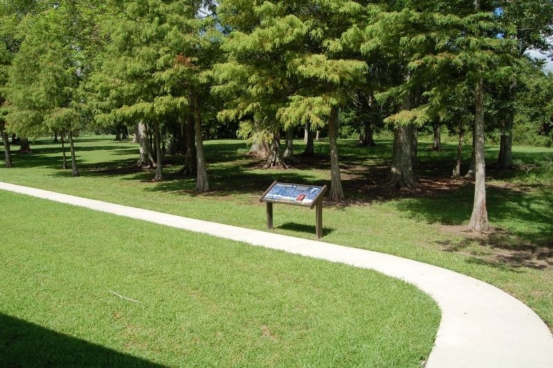
More about this marker. Located at the Houma Travel center.
Credits. This page was last revised on November 25, 2023. It was originally submitted on August 6, 2018, by Cajun Scrambler of Assumption, Louisiana. This page has been viewed 235 times since then and 27 times this year. Photos: 1, 2, 3. submitted on August 6, 2018.


