Anahuac in Chambers County, Texas — The American South (West South Central)
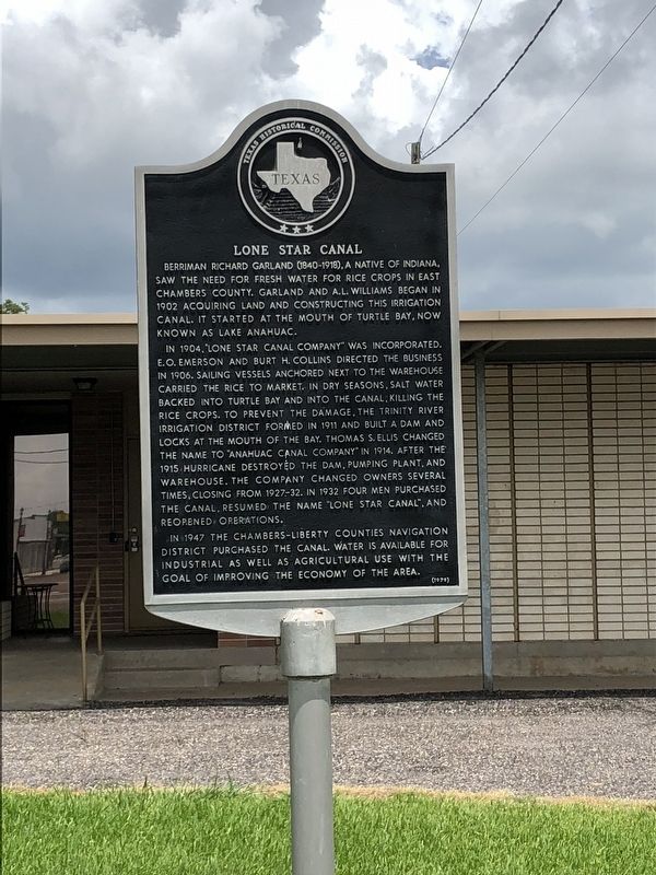
Lone Star Canal
In 1904, "Lone Star Canal Company" was incorporated. E. O. Emerson and Burt H. Collins directed the business in 1906. Sailing vessels anchored next to the warehouse carried the rice to market. In dry seasons, salt water backed into Turtle Bay and into the canal, killing the rice crops. To prevent the damage, the Trinity River Irrigation District formed in 1911 and built a dam and locks at the mouth of the bay. Thomas S. Ellis changed the name to "Anahuac Canal Company" in 1914. After the 1915 hurricane destroyed the dam, pumping plant, and warehouse, the company changed owners several times, closing from 1927-32. In 1932 four men purchased the canal, resumed the name "Lone Star Canal," and reopened operations.
In 1947 the Chambers-Liberty Counties Navigation District purchased the canal. Water is available for industrial as well as agricultural use with the goal of improving the economy of the area.
Erected 1979 by Texas Historical Commission. (Marker Number 9126.)
Topics. This historical marker is listed in these topic lists: Agriculture • Industry & Commerce • Waterways & Vessels. A significant historical year for this entry is 1902.
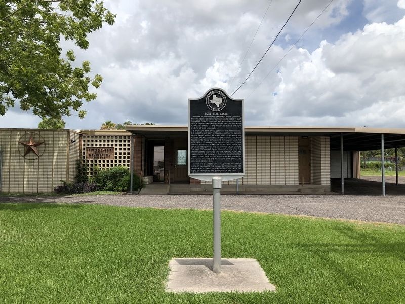
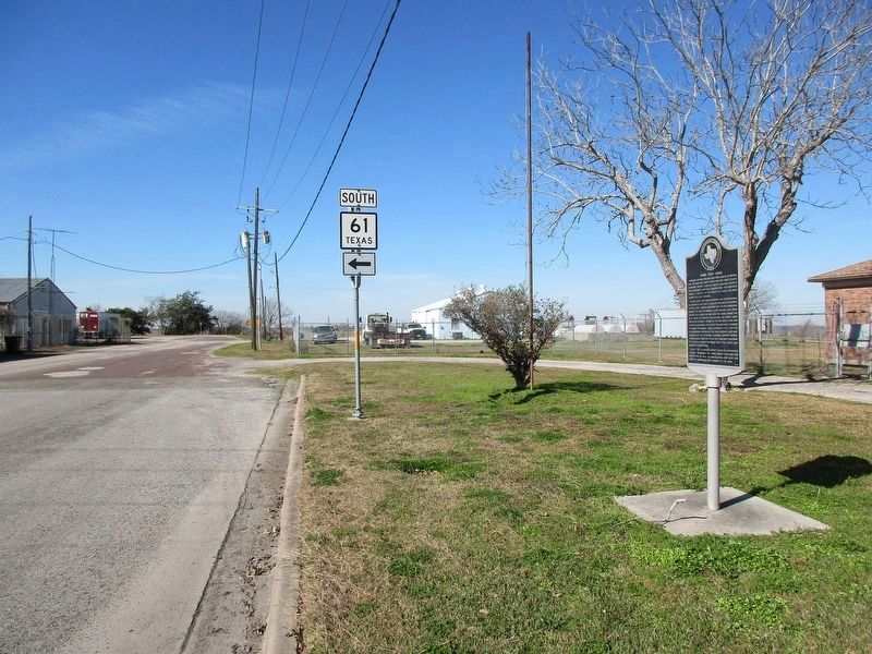
Location. 29° 46.381′ N, 94° 41.059′ W. Marker is in Anahuac, Texas, in Chambers County. Marker is at the intersection of Miller Street (State Highway 61) and Washington Avenue (State Highway 61), on the right when traveling west on Miller Street. Touch for map. Marker is at or near this postal address: 211 Miller Street, Anahuac TX 77514, United States of America. Touch for directions.
Other nearby markers. At least 8 other markers are within 2 miles of this marker, measured as the crow flies. Events at Anahuac Leading to the Texas Revolution (about 700 feet away, measured in a direct line); Home of Thomas Jefferson Chambers (about 700 feet away); Chambersea (approx. 0.2 miles away); The Dr. N.T. Schilling Medical Office (approx. 0.2 miles away); Chambers County Courthouse (approx. ¼ mile away); Chambers County (approx. half a mile away); Black Education in Chambers County (approx. 0.6 miles away); Fort Anahuac (approx. 1.2 miles away). Touch for a list and map of all markers in Anahuac.
Credits. This page was last revised on January 23, 2024. It was originally submitted on August 7, 2018, by Brian Anderson of Humble, Texas. This page has been viewed 304 times since then and 30 times this year. Photos: 1, 2. submitted on August 8, 2018, by Brian Anderson of Humble, Texas. 3. submitted on January 23, 2024, by Jeff Leichsenring of Garland, Texas. • Andrew Ruppenstein was the editor who published this page.


