City of London in Greater London, England, United Kingdom — Northwestern Europe (the British Isles)
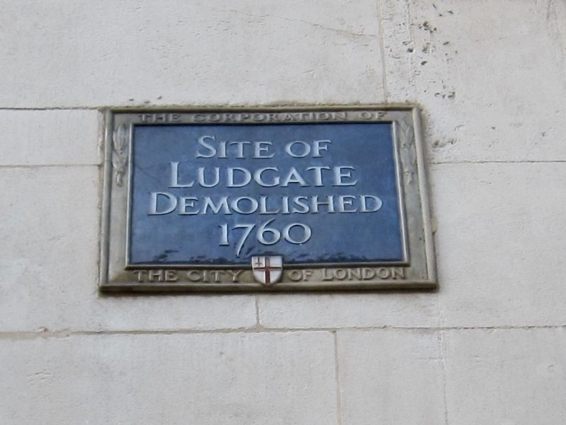
Ludgate
Ludgate
Demolished
1760
Topics and series. This historical marker is listed in this topic list: Forts and Castles. In addition, it is included in the UK, England, City of London Corporation series list. A significant historical year for this entry is 1760.
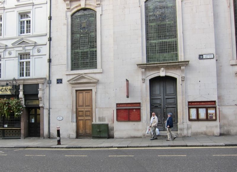
Location. 51° 30.84′ N, 0° 6.127′ W. Marker is in City of London, England, in Greater London. Marker is on Ludgate Hill just east of Farringdon Street, on the left when traveling east. Touch for map. Marker is at or near this postal address: 40 Ludgate Hill, City of London, England EC4M 7DE, United Kingdom. Touch for directions.
Other nearby markers. At least 8 other markers are within walking distance of this marker. The Daily Courant (about 120 meters away, measured in a direct line); The Grand Lodge of English Freemasons (about 180 meters away); Young Mens Christian Association (about 180 meters away); Temple Bar (about 180 meters away); Edgar Wallace (about 180 meters away); The Palace of Bridewell (about 180 meters away); Royal College of Physicians (about 180 meters away); The Old Bell (about 210 meters away). Touch for a list and map of all markers in City of London.
Also see . . . Ludgate (Wikipedia). "Ludgate was the westernmost gate in London Wall. The name survives in Ludgate Hill, an eastward continuation of Fleet Street, Ludgate Circus and Ludgate Square....The Romans built a road along the north bank of the River Thames westwards through the gate later called Lud Gate as part of the fortifications of London. Guarding the road from the west, it led to the Romans' main burial mound in what is now Fleet Street. The gate stood just above a crossing of the Fleet River (this now runs underground). It stood almost opposite what is now St Martin's Church on what is now called Ludgate Hill...." (Submitted on August 7, 2018.)
Credits. This page was last revised on January 27, 2022. It was originally submitted on August 7, 2018, by Andrew Ruppenstein of Lamorinda, California. This page has been viewed 144 times since then and 15 times this year. Photos: 1, 2. submitted on August 7, 2018, by Andrew Ruppenstein of Lamorinda, California.

