Salyersville in Magoffin County, Kentucky — The American South (East South Central)
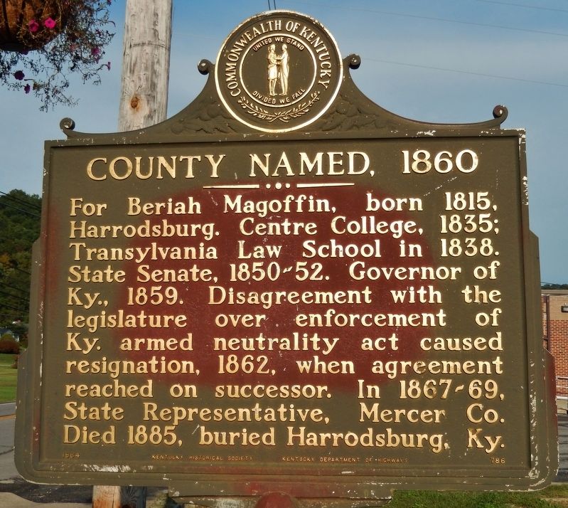
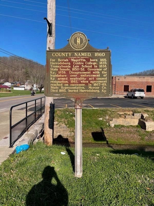
County Named, 1860
Erected 1964 by Kentucky Historical Society, Kentucky Department of Highways. (Marker Number 786.)
Topics and series. This historical marker is listed in these topic lists: Government & Politics • Political Subdivisions. In addition, it is included in the Kentucky Historical Society series list. A significant historical year for this entry is 1860.
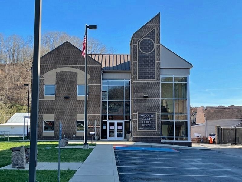
Location. 37° 45.151′ N, 83° 4.08′ W. Marker is in Salyersville, Kentucky, in Magoffin County. Marker is at the intersection of Maple Street and Coal Branch Road, on the right when traveling east on Maple Street. Marker is located by the sidewalk, directly in front of the Magoffin County Courthouse. Touch for map. Marker is at or near this postal address: 100 Maple Street, Salyersville KY 41465, United States of America. Touch for directions.
Other nearby markers. At least 8 other markers are within 15 miles of this marker, measured as the crow flies. Wm. "Uncle Billie" Adams (within shouting distance of this marker); Legends in Blue and Gray (about 600 feet away, measured in a direct line); First Settlement (approx. ¾ mile away); Ivy Point Skirmishes (approx. 0.8 miles away); a different marker also named First Settlement (approx. 0.9 miles away); Reuben Patrick Grave (approx. 4.3 miles away); Civil War Action (approx. 8.2 miles away); Boone Salt Springs (approx. 14½ miles away). Touch for a list and map of all markers in Salyersville.
Also see . . . Magoffin County, Kentucky. The area now encompassed by Kentucky's Magoffin County was first bounded in 1772, when all of what is now the state of Kentucky was in the frontier county of Fincastle County, Virginia. Fincastle was divided in 1776, with the western portion named Kentucky County, Virginia. In 1780, the Virginia legislature set aside all land in Kentucky County for soldiers who had served in the Revolutionary War. In 1860, the Kentucky Legislature partitioned parts of Johnson, Floyd, and Morgan Counties, to create Magoffin County. Its boundaries have remained unchanged since that time. (Submitted on August 8, 2018, by Cosmos Mariner of Cape Canaveral, Florida.)
Credits. This page was last revised on March 29, 2021. It was originally submitted on August 8, 2018, by Cosmos Mariner of Cape Canaveral, Florida. This page has been viewed 209 times since then and 15 times this year. Photos: 1. submitted on August 8, 2018, by Cosmos Mariner of Cape Canaveral, Florida. 2, 3. submitted on March 28, 2021, by Frank Profitt of Georgetown, Kentucky. • Andrew Ruppenstein was the editor who published this page.


