Arkadelphia in Clark County, Arkansas — The American South (West South Central)
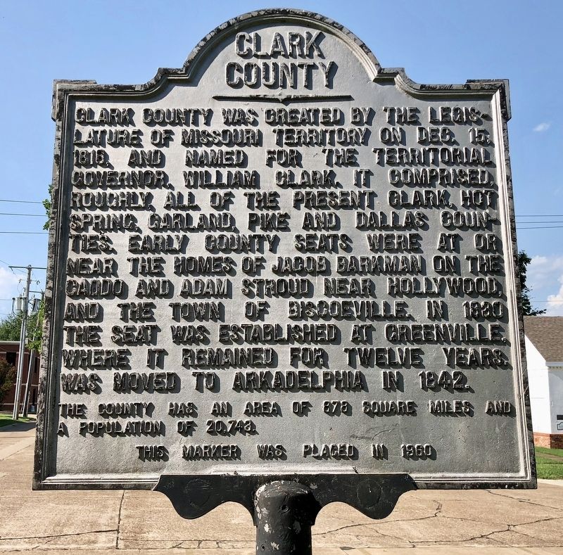
Clark County
The county has an area of 878 square miles and population of 20,743.
Erected 1960 by Clark County.
Topics. This historical marker is listed in this topic list: Political Subdivisions. A significant historical date for this entry is December 15, 1818.
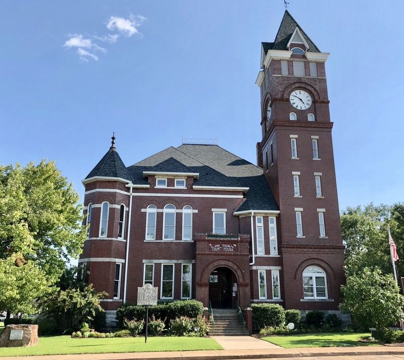
Location. 34° 7.119′ N, 93° 3.077′ W. Marker is in Arkadelphia, Arkansas, in Clark County. Marker is at the intersection of Clay Street and South 4th Street, on the right when traveling east on Clay Street. Located in front of the Clark County Courthouse. Touch for map. Marker is at or near this postal address: 401 Clay Street, Arkadelphia AR 71923, United States of America. Touch for directions.
Other nearby markers. At least 8 other markers are within walking distance of this marker. Degray Dam Boulder (here, next to this marker); Clark County Confederate Memorial (a few steps from this marker); Clark County First Manufactory in Arkansas (within shouting distance of this marker); Salt Kettle (within shouting distance of this marker); Flanagin Law Office (within shouting distance of this marker); Freedmen's Bureau (about 300 feet away, measured in a direct line); The Blakely Graveyard (about 300 feet away); Arkadelphia Courthouses (about 800 feet away). Touch for a list and map of all markers in Arkadelphia.
Regarding Clark County. Almost 60 years later, the population is about 2,000 more than when the marker was placed.
Also see . . . Wikipedia article on Clark County. (Submitted on August 9, 2018, by Mark Hilton of Montgomery, Alabama.)
Credits. This page was last revised on August 9, 2018. It was originally submitted on August 9, 2018, by Mark Hilton of Montgomery, Alabama. This page has been viewed 253 times since then and 31 times this year. Photos: 1, 2. submitted on August 9, 2018, by Mark Hilton of Montgomery, Alabama.

