Sturbridge in Worcester County, Massachusetts — The American Northeast (New England)
Brooks Pottery Kiln
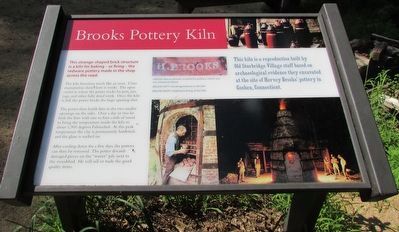
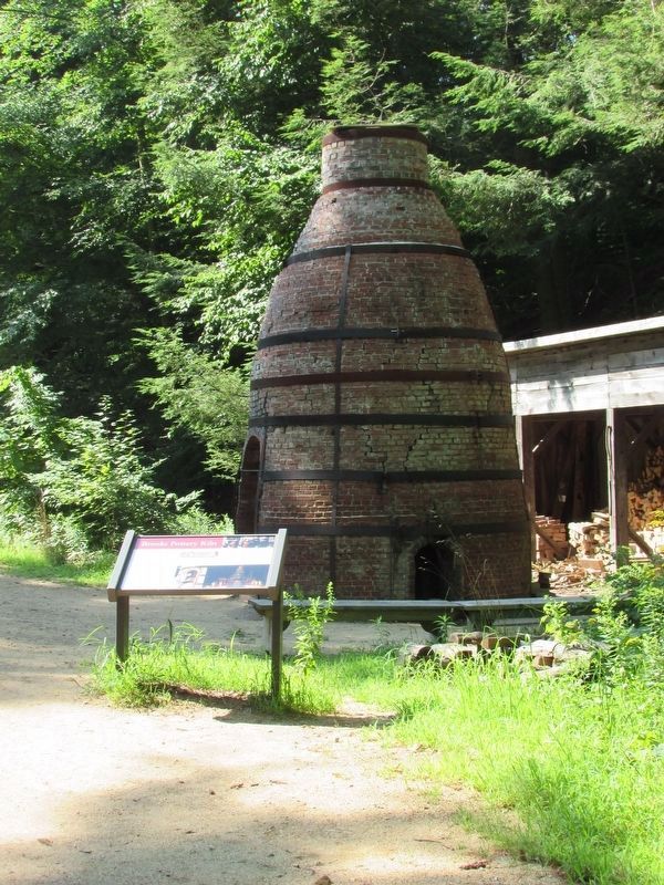
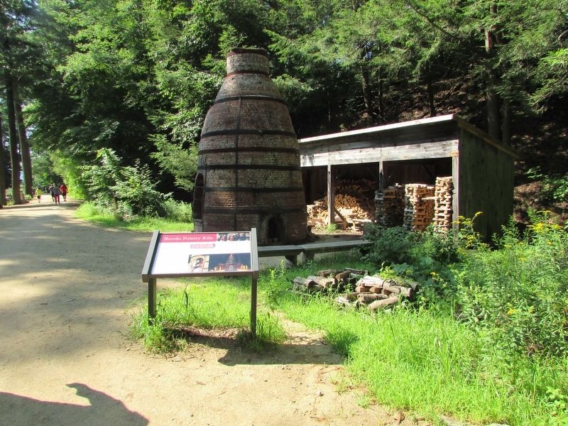
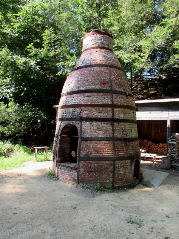
This strange-shaped brick structure is a kiln for baking – or firing – the redwood pottery made in the shop across the road.
The kiln functions much like an oven. The open center is where the potter stacks his pots, jars, jugs, and other fully dried work. Once the kiln is full, the potter bricks the large opening shut.
The potter then builds fires in the two smaller openings on the sides. Over a day or two he fuels the fires with one to four cords of wood to bring the temperature inside the kiln to about 1,900 degrees Fahrenheit. At this peak temperature the clay is permanently hardened and the glaze is melted on.
After cooling down for a few days, the pottery can then be removed. The potter discards damaged pieces on the “waster” pile next to the woodshed. He will sell or trade the good quality items.
This kiln is a reproduction built by Old Sturbridge Village staff based on archaeological evidence they excavated at the site if Harvey Brooks’ pottery in Goshen, Connecticut.
Topics. This historical marker is listed in these topic lists: Industry & Commerce • Settlements & Settlers.
Location. 42° 6.311′ N, 72° 5.848′ W. Marker is in Sturbridge, Massachusetts, in Worcester County . Marker is on Old Sturbridge Village Road. Touch for map. Marker is at or near this postal address: 1 Old Sturbridge Village Road, Sturbridge MA 01566, United States of America. Touch for directions.
Other nearby markers. At least 8 other markers are within walking distance of this marker. An Open Landscape (within shouting distance of this marker); Today we see a different view. (about 400 feet away, measured in a direct line); Controlling Livestock: The Town Pound (about 400 feet away); The Smokehouse (about 500 feet away); Welcome to the Pasture Walk (about 500 feet away); The Graveyard (about 600 feet away); Freeman Farm (about 600 feet away); Millstones (about 600 feet away). Touch for a list and map of all markers in Sturbridge.
More about this marker. Three photos appear on the right of the marker. One features the mark that Hervey Brooks used on his pottery, which was not commonly done. The others show a worker “Stacking redware in the kiln.” and a “Nighttime firing of the kiln.”
Credits. This page was last revised on August 11, 2018. It was originally submitted on August 11, 2018, by Bill Coughlin of Woodland Park, New Jersey. This page has been viewed 251 times since then and 22 times this year. Photos: 1, 2, 3, 4. submitted on August 11, 2018, by Bill Coughlin of Woodland Park, New Jersey.


