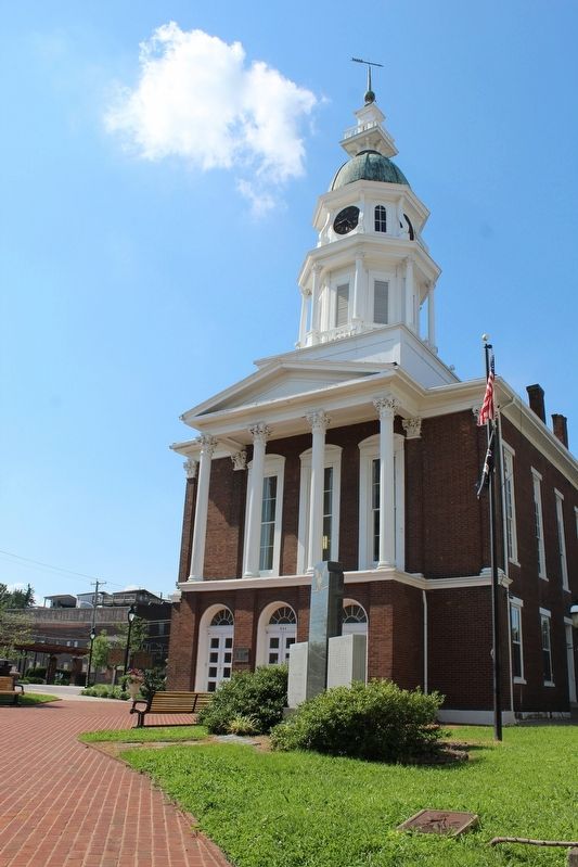
Danville in Boyle County, Kentucky — The American South (East South Central)
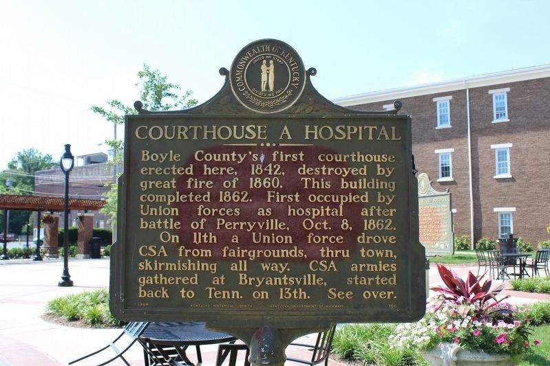
Courthouse a Hospital
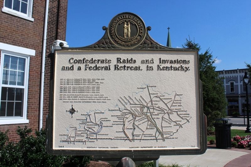
On 11th a Union force drove CSA from fairgrounds, thru town, skirmishing all way. CSA armies gathered at Bryantsville, started back to Tenn. on 13th. See over.
Erected 1964 by Kentucky Historical Society & Kentucky Department of Highways. (Marker Number 756.)
Topics and series. This historical marker is listed in this topic list: War, US Civil. In addition, it is included in the Kentucky Historical Society series list. A significant historical date for this entry is October 8, 1862.
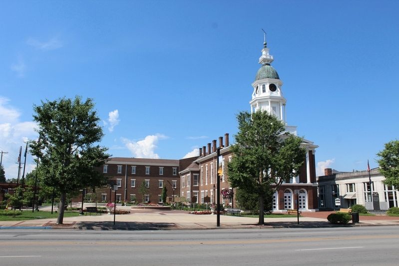
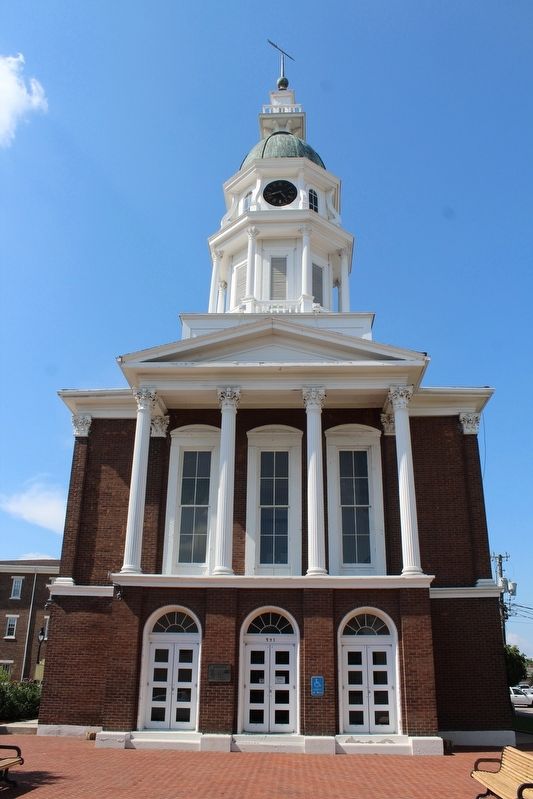
Location. 37° 38.775′ N, 84° 46.41′ W. Marker is in Danville, Kentucky, in Boyle County. Marker is at the intersection of West Main Street (Business U.S. 150) and North 4th Street, on the right when traveling west on West Main Street. Marker is one of five markers located on the Courthouse Lawn. Touch for map. Marker is at or near this postal address: 321 W Main St, Danville KY 40422, United States of America. Touch for directions.
Other nearby markers. At least 8 other markers are within walking distance of this marker. Poet, Lawyer and Soldier / Theodore O'Hara (here, next to this marker); County Named, 1842 (here, next to this marker); John Marshall Harlan / Kentucky's "Great Dissenter" (here, next to this marker); American Revolution Memorial (a few steps from this marker); First Crop / Hemp in Kentucky (a few steps from this marker); Boyle County Veterans Memorial (within shouting distance of this marker); Trinity Episcopal Church (within shouting distance of this marker); School for the Deaf (about 300 feet away, measured in a direct line). Touch for a list and map of all markers in Danville.
Credits. This page was last revised on August 12, 2018. It was originally submitted on August 12, 2018, by Tom Bosse of Jefferson City, Tennessee. This page has been viewed 225 times since then and 14 times this year. Photos: 1, 2, 3, 4, 5. submitted on August 12, 2018, by Tom Bosse of Jefferson City, Tennessee. • Bernard Fisher was the editor who published this page.
