Near Frankenmuth in Saginaw County, Michigan — The American Midwest (Great Lakes)
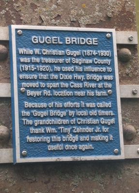
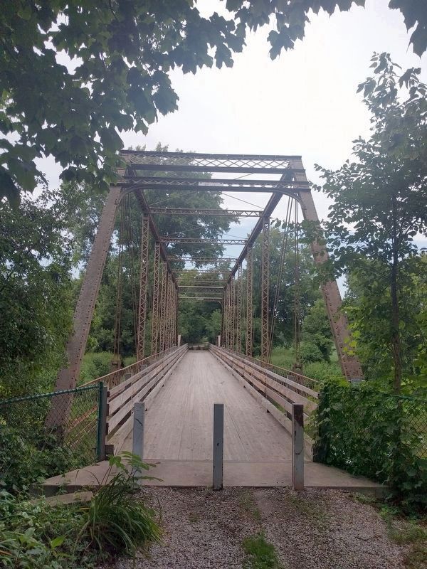
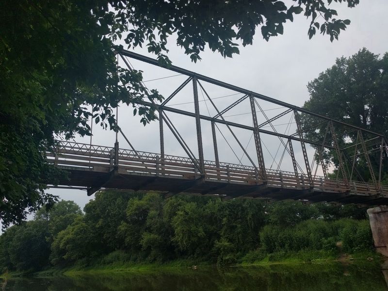
Gugel Bridge
Because of his efforts it was called the 'Gugel Bridge' by local old timers. The grandchildren of Christian Gugel thank Wm. 'Tiny' Zehnder Jr. for restoring this bridge and making it useful once again.
Topics. This historical marker is listed in these topic lists: Agriculture • Bridges & Viaducts • Roads & Vehicles • Waterways & Vessels.
Location. 43° 19.735′ N, 83° 46.577′ W. Marker is near Frankenmuth, Michigan, in Saginaw County. Marker is on South Beyer Road, half a mile north of East Curtis Road. Beyer Road does not cross the bridge, but there is a small parking area on both the north and south sides of the bridge. Marker is on the south end of the bridge attached to the right (east) side. Touch for map. Marker is in this post office area: Frankenmuth MI 48734, United States of America. Touch for directions.
Other nearby markers. At least 8 other markers are within 2 miles of this marker, measured as the crow flies. Site of St. Lorenz Frame Church (approx. one mile away); Frankenmuth / Saint Lorenz Evangelical Lutheran Church (approx. one mile away); Zehnder’s (approx. 1.8 miles away); Michigan's German Settlers (approx. 1.8 miles away); Rau's Country Store Recalls Bygone Era (approx. 1.8 miles away); Frankenmuth Bavarian Inn (approx. 1.8 miles away); Frankenmuth Bavarian Inn Restaurant (approx. 1.8 miles away); Frankenmuth Woolen Mill (approx. 1.9 miles away). Touch for a list and map of all markers in Frankenmuth.
Also see . . . Beyer Road Bridge - Frankenmuth, MI. Video (3½ min.) of the bridge that also shows both historical markers. (Submitted on August 13, 2018, by Joel Seewald of Madison Heights, Michigan.)
Credits. This page was last revised on September 10, 2021. It was originally submitted on August 13, 2018, by Joel Seewald of Madison Heights, Michigan. This page has been viewed 279 times since then and 11 times this year. Photos: 1, 2, 3. submitted on August 13, 2018, by Joel Seewald of Madison Heights, Michigan.


