Valencia in Santa Clarita in Los Angeles County, California — The American West (Pacific Coastal)
The Ridge Route
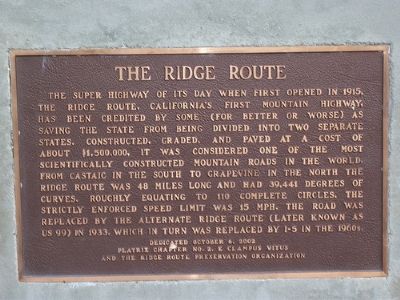
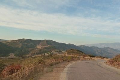
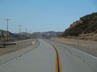
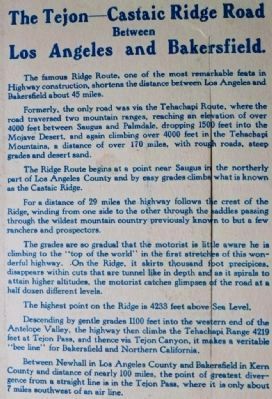
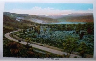
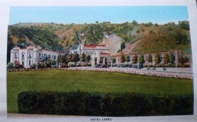
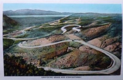
The super highway of its day when opened in 1915, The Ridge Route, California’s first mountain highway, has been credited by some (for better or worse) as saving the state from being divided into two separate states. Constructed, graded, and paved at a cost of about $1,500,000, it was considered one of the most scientifically constructed mountain roads in the world. From Castaic in the south to Grapevine in the north The Ridge Route was 48 miles long and had 39,441 degrees of curves, roughly equating to 110 complete circles. The strictly enforced speed limit was 15 MPH. The road was replaced by the Alternate Ridge Route (later known as US 99) in 1933, which in turn was replaced by I-5 in the 1960s.
Erected 2002 by Platrix Chapter No. 2 E. Clampus Vitus, and the Ridge Route Preservation Organization.
Topics and series. This historical marker is listed in this topic list: Roads & Vehicles. In addition, it is included in the E Clampus Vitus series list.
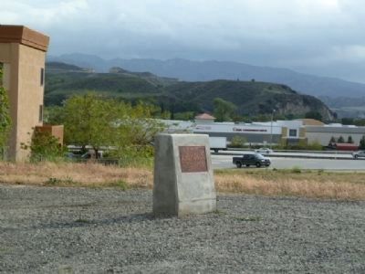
Location. 34° 26.621′ N, 118° 36.115′ W. Marker is in Santa Clarita, California, in Los Angeles County. It is in Valencia. Marker is at the intersection of Newhall Ranch Road (State Highway 126) and Golden State Freeway (Interstate 5), on the right when traveling east on Newhall Ranch Road. Touch for map. Marker is in this post office area: Valencia CA 91355, United States of America. Touch for directions.
Other nearby markers. At least 8 other markers are within 5 miles of this marker, measured as the crow flies. Newhall Incident (approx. ¼ mile away); Rancho San Francisco (approx. 0.3 miles away); Oak of the Golden Dream (approx. 1.1 miles away); Tesoro Adobe (approx. 3.3 miles away); Saugus Café (approx. 4.1 miles away); Mentryville (approx. 4½ miles away); Mentryville’s Barn (approx. 4½ miles away); Pico Cottage (approx. 4½ miles away). Touch for a list and map of all markers in Santa Clarita.
Related markers. Click here for a list of markers that are related to this marker.
Also see . . .
1. The Ridge Route. Links to the history of the route, information on tours, maps, and photos of the 2005 storm damage. (Submitted on May 14, 2010.)
2. Wikipedia Entry "The Ridge Route, officially the Castaic-Tejon Route". In addition to the information posted, there are several photos displayed. (Submitted on December 27, 2011, by Chris English of Phoenix, Arizona.)
3. Ridge Route Preservation Society. Working to reopen the road. (Submitted on June 27, 2018, by Craig Baker of Sylmar, California.)
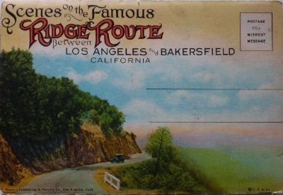
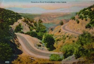
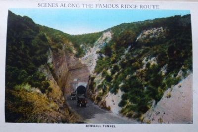
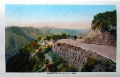
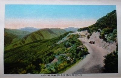
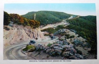
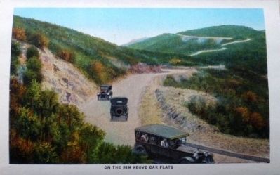
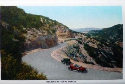
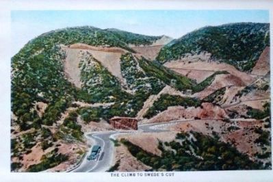
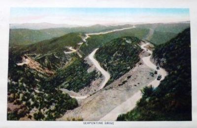
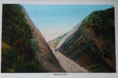
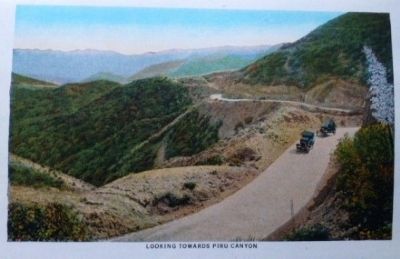
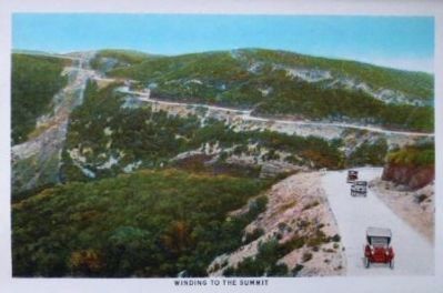
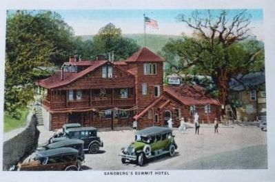
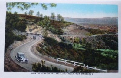
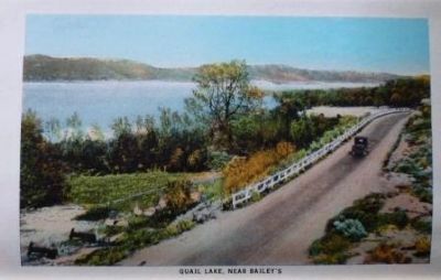
5. Scenes on the Famous Ridge Route
This set of pictures is from a ~1921 souvenir post card folder published by the Curt Teich Company of Chicago. Curt Teich operated from 1898 - 1978 and left a fairly complete archive of its products and production processes with the Lake County Forest Preserve in Illinois.
Credits. This page was last revised on February 7, 2023. It was originally submitted on May 13, 2010, by Konrad R Summers of Santa Clarita, California. This page has been viewed 2,726 times since then and 47 times this year. Last updated on August 16, 2018, by Craig Baker of Sylmar, California. Photos: 1. submitted on May 13, 2010, by Konrad R Summers of Santa Clarita, California. 2. submitted on April 13, 2012, by Chris English of Phoenix, Arizona. 3, 4. submitted on December 27, 2011, by Chris English of Phoenix, Arizona. 5, 6, 7, 8, 9, 10, 11, 12, 13, 14, 15, 16, 17, 18, 19, 20, 21, 22, 23, 24. submitted on August 21, 2012, by Chris English of Phoenix, Arizona. • Andrew Ruppenstein was the editor who published this page.
