Near Bayard in Grant County, New Mexico — The American Mountains (Southwest)
Bayard
Erected by New Mexico Historic Preservation Division.
Topics. This historical marker is listed in this topic list: Settlements & Settlers. A significant historical year for this entry is 1902.
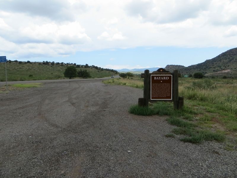
Location. 32° 44.49′ N, 108° 7.994′ W. Marker is near Bayard, New Mexico, in Grant County. Marker is on U.S. 180 at milepost 124, on the right when traveling north. Touch for map. Marker is in this post office area: Bayard NM 88023, United States of America. Touch for directions.
Other nearby markers. At least 8 other markers are within 6 miles of this marker, measured as the crow flies. A different marker also named Bayard (approx. 1˝ miles away); Santa Rita Copper Mines (approx. 2.9 miles away); Fort Bayard - 1866-1900 (approx. 3 miles away); Fort Bayard (approx. 3.6 miles away); Ladies Auxiliary of Local 890 (approx. 4.3 miles away); Kneeling Nun (approx. 4.3 miles away); Reclaiming the Land (approx. 5.7 miles away); Modern Mining & Processing (approx. 5.7 miles away). Touch for a list and map of all markers in Bayard.
Related marker. Click here for another marker that is related to this marker.

Photographed By Bill Kirchner, August 11, 2018
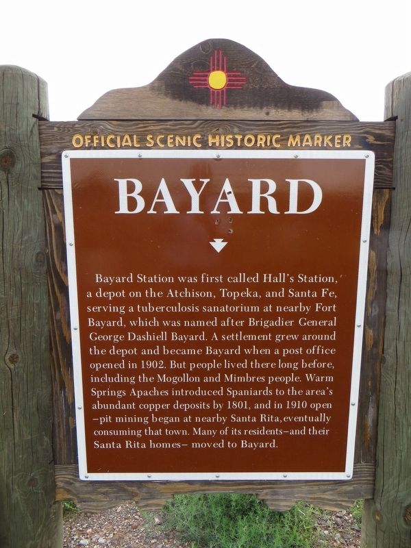
2. Bayard Marker Back of Marker
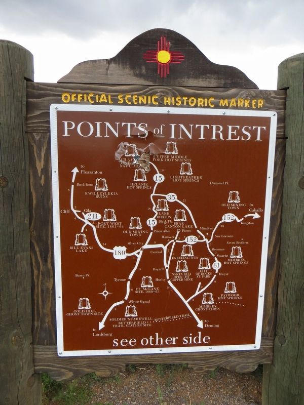
Points of Interest
New Mexico's Historic Markers typically have a map on the back side showing the location of other OSHM's. This is an excellent source of information when exploring for other Historical Markers and locations.
New Mexico's Historic Markers typically have a map on the back side showing the location of other OSHM's. This is an excellent source of information when exploring for other Historical Markers and locations.
Credits. This page was last revised on March 12, 2024. It was originally submitted on August 16, 2018, by Bill Kirchner of Tucson, Arizona. This page has been viewed 227 times since then and 23 times this year. Photos: 1, 2, 3. submitted on August 16, 2018, by Bill Kirchner of Tucson, Arizona. 4. submitted on March 12, 2024, by Allen C. Browne of Silver Spring, Maryland.


