Near Calistoga in Napa County, California — The American West (Pacific Coastal)
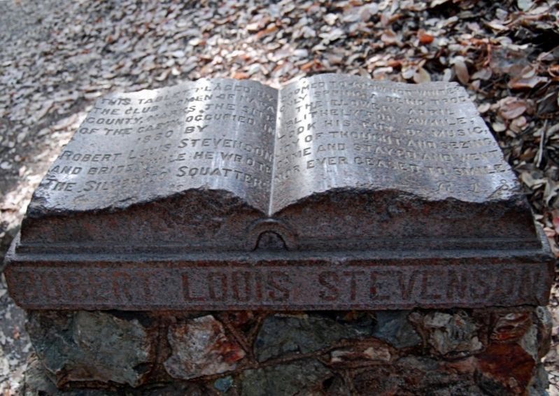
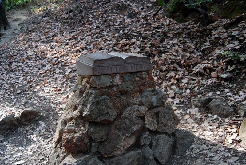
Robert Louis Stevenson Cabin Site
Doomed to know not winter, only spring, a being trod the flowery April blithely for awhile, took his fill of music, joy of thought and seeing, came and stayed and went, nor ever ceased to smile.
R.L.S.
Erected by The Club Women of Napa County. (Marker Number 710.)
Topics and series. This historical marker is listed in these topic lists: Arts, Letters, Music • Parks & Recreational Areas. In addition, it is included in the California Historical Landmarks series list.
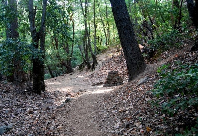
Location. 38° 39.226′ N, 122° 36.261′ W. Marker is near Calistoga, California, in Napa County. Marker can be reached from Lake County Highway (Hwy 29), 8˝ miles north of Foothill Boulevard (Hwy 128). Marker is on the steep trail to Mt. St. Helena, one mile from the highway. Warning: Keep in mind that the trail is steep, with switchbacks, and is rocky in places, and should probably only be attempted by those who are wearing appropriate footwear and have little difficulty walking. Touch for map. Marker is at or near this postal address: 4625 Lake County Hwy, Calistoga CA 94515, United States of America. Touch for directions.
Other nearby markers. At least 8 other markers are within 6 miles of this marker, measured as the crow flies. Old Faithful Steam Well (approx. 4 miles away); Oat Hill Mine Road (approx. 4.7 miles away); Sam Brannan Store (approx. 5.1 miles away); Pioneer Cemetery (approx. 5.2 miles away); Calistoga Depot (approx. 5.3 miles away); Mount View Hotel (approx. 5.3 miles away); Sam Brannan Cottage (approx. 5.3 miles away); Calistoga Sam Brannan Center (approx. 5.3 miles away). Touch for a list and map of all markers in Calistoga.
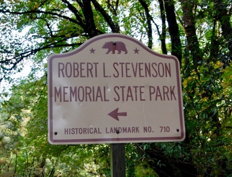
More about this marker. This is California Historic Landmark no. 710, Robert Louis Stevenson State Park.
Related marker. Click here for another marker that is related to this marker.
Credits. This page was last revised on August 25, 2018. It was originally submitted on August 17, 2018, by Craig Baker of Sylmar, California. This page has been viewed 402 times since then and 39 times this year. Photos: 1, 2, 3, 4. submitted on August 17, 2018, by Craig Baker of Sylmar, California. • Andrew Ruppenstein was the editor who published this page.


