DeSmet in Benewah County, Idaho — The American West (Mountains)
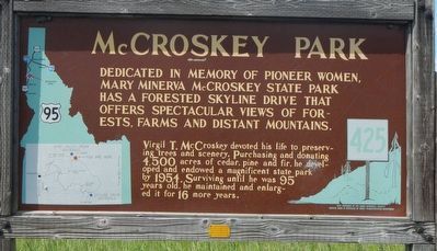
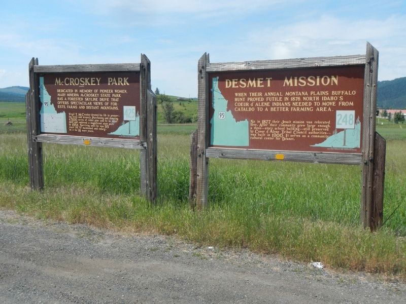
McCroskey Park
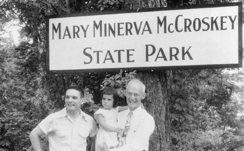
Virgil T. McCroskey devoted his life to preserving trees and scenery. Purchasing and donating 4,500 acres of cedar, pine and fire, he developed and endowed a magnificent state park by 1954. Surviving until he was 95 years old, he maintained and enlarged it for 16 more years.
Erected by Idaho Department of Transportation. (Marker Number 425.)
Topics and series. This historical marker is listed in this topic list: Parks & Recreational Areas. In addition, it is included in the Idaho State Historical Society series list. A significant historical year for this entry is 1954.
Location. 47° 8.941′ N, 116° 54.648′ W. Marker is in DeSmet, Idaho, in Benewah County. Marker is at the intersection of U.S. 95 at milepost 381 and Old Sanders Road, on the left when traveling north on U.S. 95. Touch for map. Marker is at or near this postal address: 381600 US Highway 95, Desmet ID 83824, United States of America. Touch for directions.
Other nearby markers. At least 3 other markers are within 7 miles of this marker, measured as the crow flies. DeSmet Mission (here, next to this marker); Giver of Parks (approx. 4.8 miles away); It These Walls Could Talk (approx. 6.3 miles away).
Also see . . . Virgil McCroskey -- Historylink. Virgil Talmadge McCroskey comes closer than anyone to being Eastern Washington’s equivalent of conservationist John Muir. The son of pioneers who homesteaded near the village of Steptoe, some eight miles north of Colfax, Whitman County, in the Palouse hills of extreme Eastern Washington, he became a successful pharmacist and inherited the family farm. Earnings from pharmacy and the eventual sale of the farm enabled him to finance his passion for conserving significant land for future generations. (Submitted on August 18, 2018, by Barry Swackhamer of Brentwood, California.)
Credits. This page was last revised on August 26, 2018. It was originally submitted on August 18, 2018, by Barry Swackhamer of Brentwood, California. This page has been viewed 307 times since then and 36 times this year. Photos: 1, 2, 3. submitted on August 18, 2018, by Barry Swackhamer of Brentwood, California.


