Bridport in Dorset, England, United Kingdom — Northwestern Europe (the British Isles)
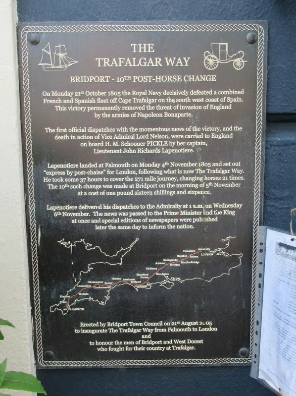
The Trafalgar Way
— Bridport —
Bridport - 10th Post-Horse Change
The first official despatches with the momentous news of the victory, and the death in action of Vice Admiral Lord Nelson, were carried to England on board H. M. Schooner PICKLE by her captain Lieutenant John Richards Lapenotiere.
Lapenotiere landed at Falmouth on Monday 4th November 1805 and set out “express by post chaise” for London, following what is now The Trafalgar Way. He took some 37 hours to cover the 271 mile journey, changing horses 21 times. The 10th such change was made at Bridport on the morning of 5th November at a cost of one pound sixteen shillings and sixpence.
Lapenotiere delivered his dispatches to the Admiralty at 1 a.m. on Wednesday 6th November. The news was passed to the Prime Minister and the King at once and special editions of newspapers were published later the same day to inform the nation.
to inaugurate The Trafalgar Way from Falmouth to London
and
to honor the men of Bridport and West Dorset who fought for their country at Trafalgar.
Erected 2005.
Topics and series. This historical marker is listed in this topic list: Military. In addition, it is included in the Trafalgar Way series list. A significant historical date for this entry is August 21, 2005.
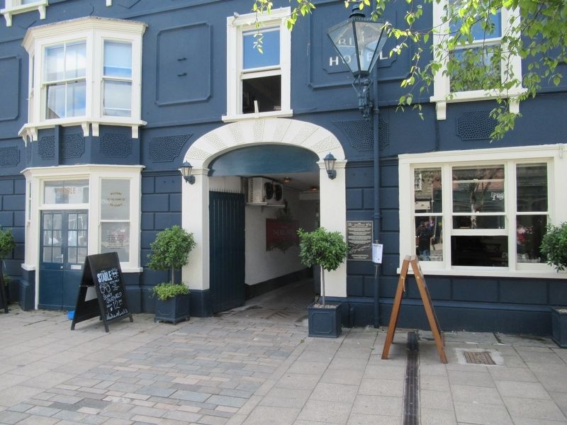
Location. 50° 43.994′ N, 2° 45.37′ W. Marker is in Bridport, England, in Dorset. Marker is at the intersection of East Street and Chancery Lane, on the left when traveling west on East Street. Located next to The Bull Hotel entrance way. Touch for map. Marker is in this post office area: Bridport, England DT6 3LF, United Kingdom. Touch for directions.
Other nearby markers. At least 3 other markers are within 14 kilometers of this marker, measured as the crow flies. Bucky Doo Square (about 150 meters away, measured in a direct line); King Edward Tree (about 150 meters away); Abbotsbury Swannery (approx. 13.7 kilometers away).
Also see . . . The Trafalgar Way on Wikipedia. (Submitted on August 20, 2018, by Michael Herrick of Southbury, Connecticut.)
Credits. This page was last revised on January 27, 2022. It was originally submitted on August 20, 2018, by Michael Herrick of Southbury, Connecticut. This page has been viewed 87 times since then and 6 times this year. Photos: 1, 2, 3. submitted on August 20, 2018, by Michael Herrick of Southbury, Connecticut.


