Near Bayview in Kootenai County, Idaho — The American West (Mountains)
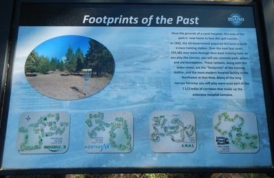
Footprints of the Past
Inscription.
Once the grounds of a naval hospital, this area of park is now home to four disc golf courses.
In 1942, the US Government acquired this land to build a navy training station. Over the next four years 293,381 men went through their boot training here. As you play the courses, you will see concrete pads, pillars, and old foundations. These remains, along with the water tower, are the "footprints" of the training station, and the most modern hospital facility in the Northwest at that time. Many of the long narrow fairways you will play were once part of the 7 1/2 miles of corridors that made up the extensive hospital complex.
Erected by Idaho State Parks and Recreation.
Topics. This historical marker is listed in these topic lists: Science & Medicine • War, World II. A significant historical year for this entry is 1942.
Location. 47° 57.816′ N, 116° 33.432′ W. Marker is near Bayview, Idaho, in Kootenai County. Marker can be reached from Whitetail Trail near S Road. Touch for map. Marker is in this post office area: Bayview ID 83803, United States of America. Touch for directions.
Other nearby markers. At least 4 other markers are within 6 miles of this marker, measured as the crow flies. Bayview Limekilns (approx. ¾ mile away); Farragut Naval Training Station (approx. 2.3 miles away); Farragut State Park (approx. 2.3 miles away); Pen d'Oreille City (approx. 6.1 miles away).
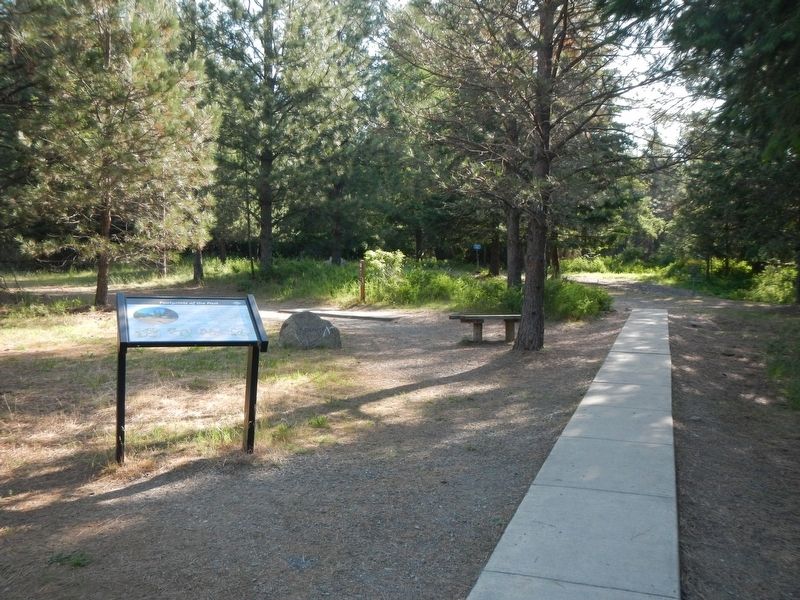
More about this marker. This marker is located in Farragut State Park. The address for the state park is 13550 Idaho Highway 54, Athol, Idaho.
Credits. This page was last revised on August 20, 2018. It was originally submitted on August 20, 2018, by Barry Swackhamer of Brentwood, California. This page has been viewed 181 times since then and 13 times this year. Photos: 1, 2. submitted on August 20, 2018, by Barry Swackhamer of Brentwood, California.

