Coloma in El Dorado County, California — The American West (Pacific Coastal)
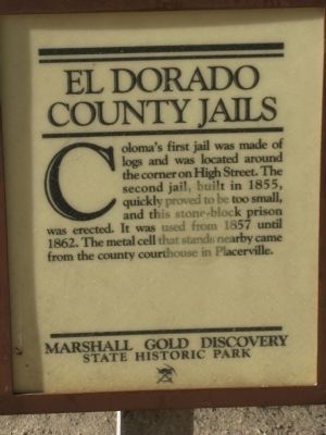
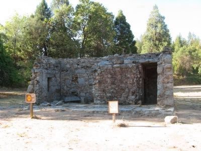
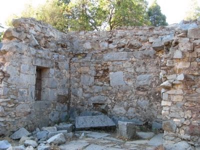
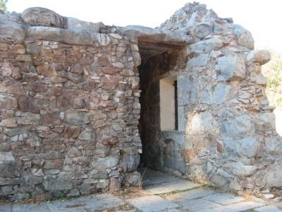
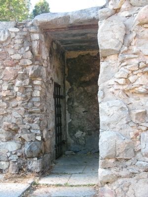
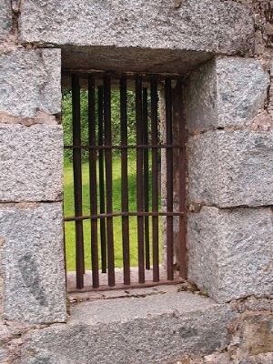
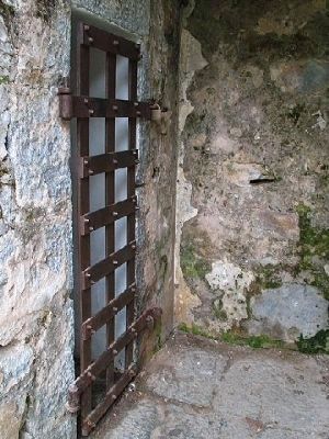
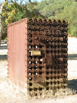
El Dorado County Jails
Erected by Marshall Gold Discovery State Historic Park.
Topics. This historical marker is listed in this topic list: Law Enforcement. A significant historical year for this entry is 1855.
Location. This marker has been replaced by another marker nearby. It was located near 38° 47.959′ N, 120° 53.46′ W. Marker was in Coloma, California, in El Dorado County. Marker could be reached from State Highway 49. Touch for map. Marker was in this post office area: Coloma CA 95613, United States of America. Touch for directions.
Other nearby markers. At least 8 other markers are within walking distance of this location. El Dorado County Jail (here, next to this marker); Site of Coloma's Largest Brick Store (within shouting distance of this marker); Site of Joe Seeley Home Watchmaker (within shouting distance of this marker); Coloma Breweries (within shouting distance of this marker); Henry Mahler's Fruit Farm (about 300 feet away, measured in a direct line); G.J. Hazeltine's Daguerrean Gallery (about 300 feet away); What Happened To All The Buildings? (about 300 feet away); Noteware-Thomas House (about 300 feet away). Touch for a list and map of all markers in Coloma.
More about this marker. The marker has been removed and replaced by a different marker.
Additional commentary.
1. The Thomas Hansford Williams House in Coloma received a “Save America Treasure" (SAT) grant
From the statement of significance:
An additional aspect of significance arises in the question of whether the old lumber used in this house might be the product of the original Coloma sawmill built by James Marshall, the construction of which sparked the Gold Rush. A further issue is that oral tradition identifies the hand-hewn logs of the south wing of the Williams House as coming from the first jail in Coloma, which had been located within yards of the Williams House site. (Further conjecture suggests that these logs were part of the original sawmill.) It is perhaps worth noting that the Herman Au map shows that T. H. Williams owned the land surrounding the lot on which the Coloma jail sat in 1857, and that the Williams' ties to law enforcement in El Dorado County might have given him an "in" when it came to salvaging the log jail. In later years, Williams had a reputation among his San Francisco business acquaintances for being "parsimonious." Perhaps this character trait emerged early, and he jumped at the chance to obtain free or cheap building materials when the city of Coloma scrapped its old jail.
— Submitted October 8, 2008, by Syd Whittle of Mesa, Arizona.
Credits. This page was last revised on January 23, 2023. It was originally submitted on October 8, 2008, by Syd Whittle of Mesa, Arizona. This page has been viewed 2,920 times since then and 42 times this year. Photos: 1, 2, 3, 4, 5. submitted on October 8, 2008, by Syd Whittle of Mesa, Arizona. 6, 7. submitted on March 22, 2009, by Syd Whittle of Mesa, Arizona. 8. submitted on October 8, 2008, by Syd Whittle of Mesa, Arizona.
