Napoleon in Henry County, Ohio — The American Midwest (Great Lakes)
Riverfront Industries Powered by Canal Water / How Napoleon Kept Its Name
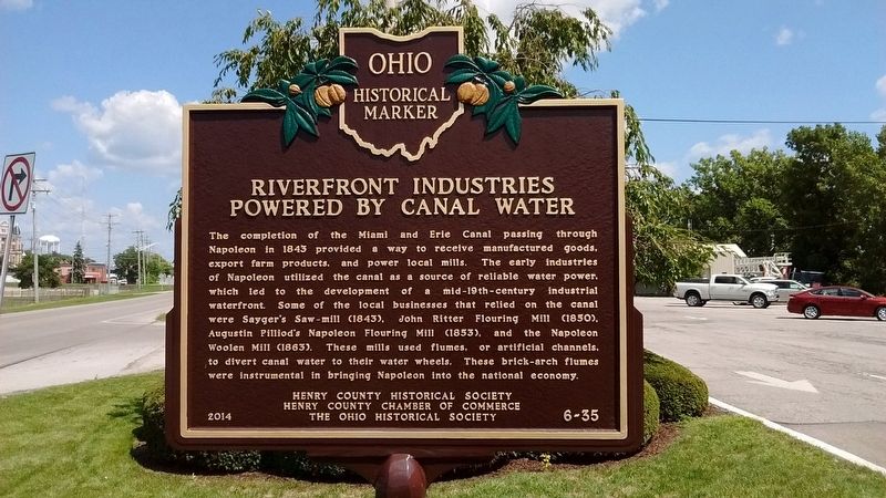
Riverfront Industries Powered by Canal Water. The completion of the Miami and Erie Canal passing through Napoleon in 1843 provided a way to receive manufactured goods, export farm products, and power local mills. The early industries of Napoleon utilized the canal as a source of reliable water power, which led to the development of a mid-19th-century industrial waterfront. Some of the local businesses that relied on the canal were Sayger's Saw-mill (1843), John Ritter Flouring Mill (1850), Augustin Pilliod's Napoleon Flouring Mill (1853), and the Napoleon Woolen Mill (1863). These mills used flumes, or artificial channels, to divert canal water to their water wheels. These brick-arch flumes were instrumental in bringing Napoleon into the national economy.
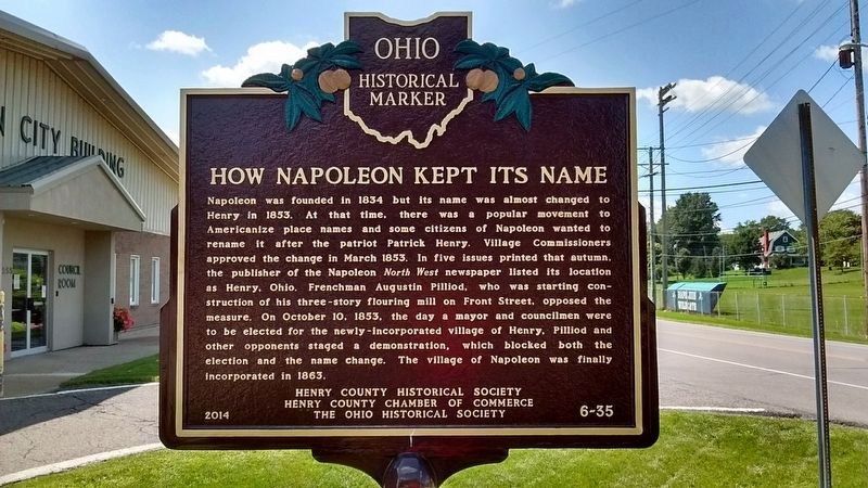
How Napoleon Kept Its Name. Napoleon was founded in 1834 but its name was almost changed to Henry in 1853. At that time, there was a popular movement to Americanize place names and some citizens of Napoleon wanted to rename it after the patriot Patrick Henry. Village Commissioners approved the change in March 1853. In five issues printed that autumn, the publisher of the Napoleon North West newspaper listed its location as Henry, Ohio. Frenchman Augustin Pilliod, who was starting construction of his three-story flouring mill on Front Street, opposed the measure. On October 10, 1853, the day a mayor and councilmen were to be elected for the newly-incorporated village of Henry, Pilliod and other opponents staged a demonstration, which blocked both the election and the name change. The village of Napoleon was finally incorporated in 1863.
Erected 2014 by Henry County Historical Society, Henry County Chamber of Commerce, The Ohio Historical Society. (Marker Number 6-35.)
Topics and series. This historical marker is listed in these topic lists: Industry & Commerce • Settlements & Settlers • Waterways & Vessels. In addition, it is included in the Ohio Historical Society / The Ohio History Connection, and the The Miami & Erie Canal series lists. A significant historical month for this entry is March 1853.
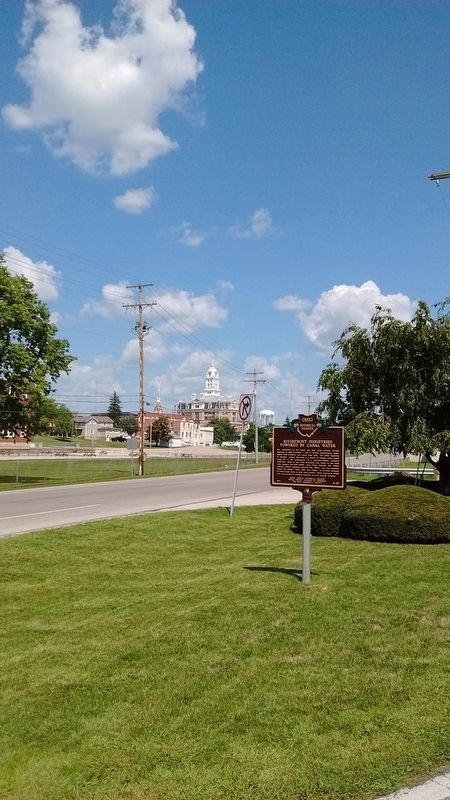
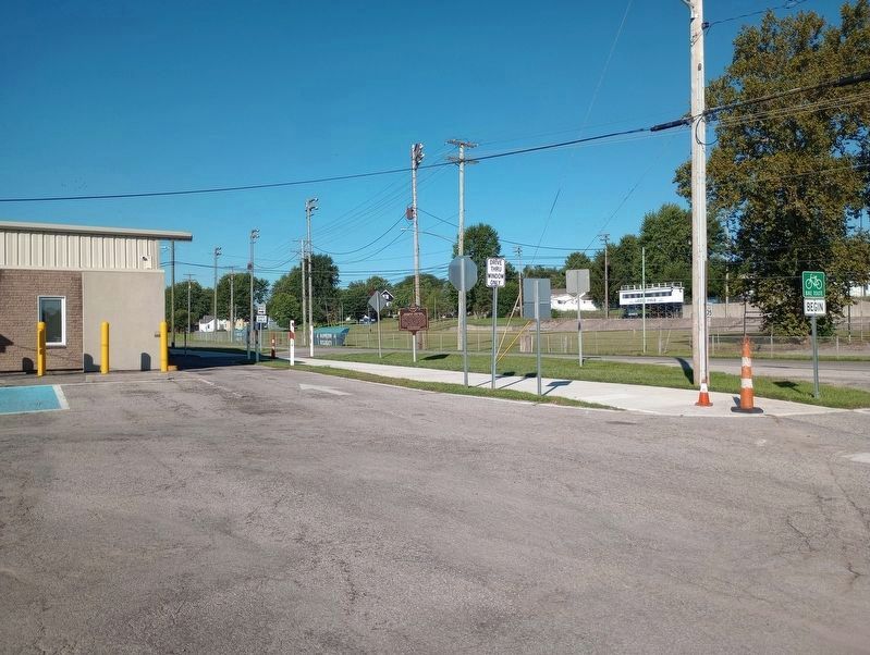
Location. 41° 23.24′ N, 84° 7.593′ W. Marker is in Napoleon, Ohio, in Henry County. Marker is at the intersection of West Riverview Road (County Route 424) and West Front Street, on the right when traveling east on West Riverview Road. Touch for map. Marker is at or near this postal address: 255 West Riverview Road, Napoleon OH 43545, United States of America. Touch for directions.
Other nearby markers. At least 8 other markers are within walking distance of this marker. World War Veterans Memorial Trees (about 700 feet away, measured in a direct line); First Presbyterian Church (approx. 0.2 miles away); Henry County Veterans Bridge (approx. 0.2 miles away); 535 North Perry (approx. 0.2 miles away); 105 West Main (approx. 0.2 miles away); 123 West Washington (approx. ¼ mile away); 611 North Perry (approx. ¼ mile away); 107-109-111-113-115 West Washington (approx. ¼ mile away). Touch for a list and map of all markers in Napoleon.
Also see . . . Miami and Erie Canal. (Submitted on August 23, 2018, by Tom Bosse of Jefferson City, Tennessee.)
Credits. This page was last revised on September 16, 2023. It was originally submitted on August 23, 2018, by Tom Bosse of Jefferson City, Tennessee. This page has been viewed 312 times since then and 19 times this year. Photos: 1, 2, 3. submitted on August 23, 2018, by Tom Bosse of Jefferson City, Tennessee. 4. submitted on August 16, 2021, by Craig Doda of Napoleon, Ohio. 5. submitted on September 7, 2023, by Craig Doda of Napoleon, Ohio. • Andrew Ruppenstein was the editor who published this page.
