Corpus Christi in Nueces County, Texas — The American South (West South Central)
Corpus Christi
1861-1865
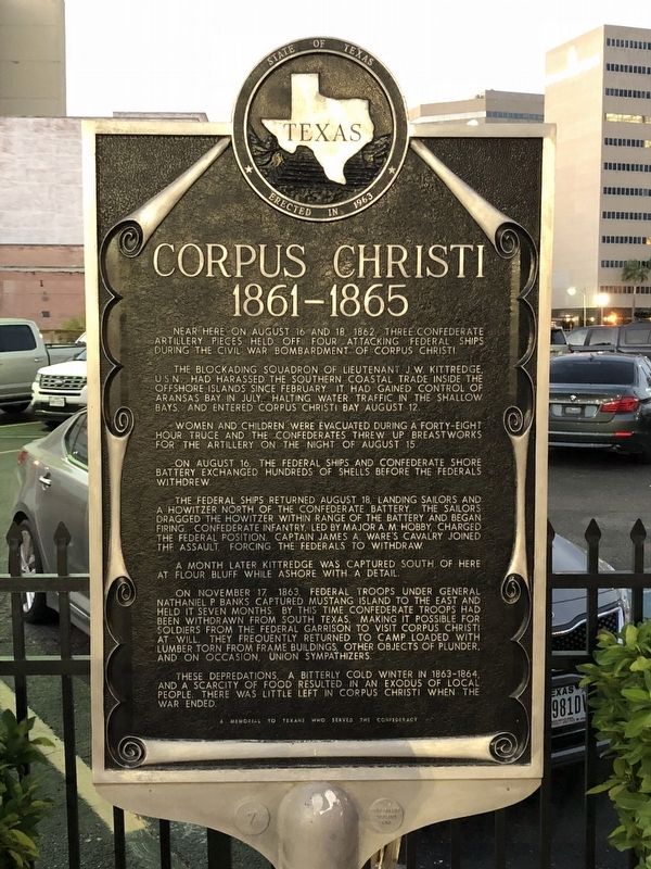
The blockading squadron of Lieutenant J.W. Kittredge, U.S.N., had harassed the southern coastal trade inside the offshore islands since February. It had gained control of Aransas Bay in July, halting water traffic in the shallow bays, and entered Corpus Christi Bay August 12.
Women and children were evacuated during a forty-eight hour truce and the Confederates threw up breastworks for the artillery on the night of August 15.
On August 16, the Federal ships and Confederate shore battery exchanged hundreds of shells before the Federals withdrew.
The Federal ships returned August 18, landing sailors and a howitzer north of the Confederate battery. The sailors dragged the howitzer within range of the battery and began firing. Confederate infantry, led by Major A.M. Hobby, charged the Federal position. Captain James A. Ware's cavalry joined the assault, forcing the Federals to withdraw.
A month later Kittredge was captured south of here at Flour Bluff while ashore with a detail.
On November 17, 1863, Federal troops under General Nathaniel P. Banks captured Mustang Island to the east and held it seven months. By this time Confederate troops had been withdrawn from south Texas, making it possible for soldiers from the Federal garrison to visit Corpus Christi at will. They frequently returned to camp loaded with lumber torn from frame buildings, other objects of plunder, and on occasion, Union sympathizers.
These depredations, a bitterly cold winter in 1863-1864, and a scarcity of food resulted in an exodus of local people. There was little left in Corpus Christi when the war ended.
Erected 1963 by State of Texas. (Marker Number 1068.)
Topics. This historical marker is listed in this topic list: War, US Civil.
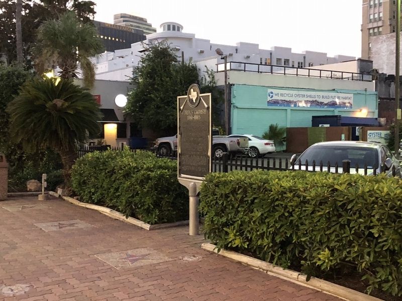
Location. 27° 47.676′ N, 97° 23.616′ W. Marker is in Corpus Christi, Texas, in Nueces County. Marker is on North Water Street, on the right when traveling south. Marker is located at the Water Street Oyster Bar restaurant, in the courtyard between the building and parking lot. Touch for map. Marker is at or near this postal address: 309 North Water Street, Corpus Christi TX 78401, United States of America. Touch for directions.
Other nearby markers. At least 8 other markers are within walking distance of this marker. Corpus Christi Fire Department (a few steps from this marker); The Ranchero (within shouting distance of this marker); Capitán Blas María de la Garza Falcón (about 600 feet away, measured in a direct line); Gold Star Court of Honor (about 800 feet away); Gutzon Borglum and the Corpus Christi Bayfront (approx. 0.2 miles away); 1941 Corpus Christi Seawall (approx. 0.2 miles away); Old St. Patrick's Church (approx. 0.2 miles away); Site of Nueces Hotel (approx. 0.2 miles away). Touch for a list and map of all markers in Corpus Christi.
More about this marker. When Texas initiated the current historical marker program in 1962, the design of the markers was slightly different than what eventually became the standard design. The markers were larger and featured elaborate scroll work around the text. Approximately 20 of these markers were placed between 1962 and 1964, when the current marker design was adopted. This marker was the 7th marker in that initial series, as designated by the number 7 found on the marker's base. The marker numbers disappeared in new design and the THC eventually went with a completely different numbering scheme for the markers.
Credits. This page was last revised on August 24, 2018. It was originally submitted on August 24, 2018, by Brian Anderson of Humble, Texas. This page has been viewed 467 times since then and 32 times this year. Photos: 1, 2. submitted on August 24, 2018, by Brian Anderson of Humble, Texas. • Andrew Ruppenstein was the editor who published this page.

