Near Gulf Shores in Baldwin County, Alabama — The American South (East South Central)
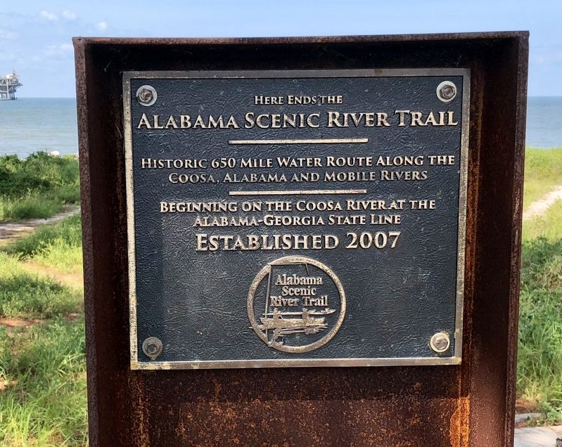
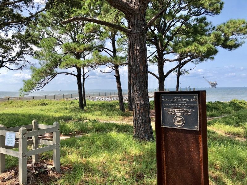
Here ends the Alabama Scenic River Trail
Coosa, Alabama and Mobile Rivers
_________
Beginning on the Coosa River at the
Alabama-Georgia State Line
Established 2007
Erected 2007 by the Alabama Scenic River Trail.
Topics. This historical marker is listed in these topic lists: Natural Features • Parks & Recreational Areas • Waterways & Vessels. A significant historical year for this entry is 2007.
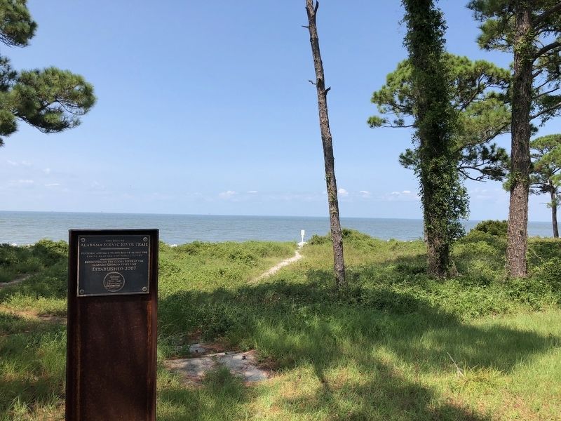
Location. 30° 13.9′ N, 88° 0.91′ W. Marker is near Gulf Shores, Alabama, in Baldwin County. Marker can be reached from Fort Morgan Road (Alabama Route 180) 1.2 miles west of Dune Drive, on the right when traveling west. Located at the Mobile Bay Ferry. Touch for map. Marker is at or near this postal address: 110 AL-180, Gulf Shores AL 36542, United States of America. Touch for directions.
Other nearby markers. At least 8 other markers are within walking distance of this marker. "Damn The Torpedoes!" The Campaigns for Mobile, 1864 - 1865 (within shouting distance of this marker); Post Hospital Complex (within shouting distance of this marker); Peace Magazine (1902-1924) (approx. 0.2 miles away); Officer’s Row (approx. 0.2 miles away); Battery Dearborn (1900-1924) (approx. ¼ mile away); The Battery Lincoln (approx. ¼ mile away); "The Shells Were Bursting All Around Us" (approx. 0.3 miles away); Colors of Significance: Historic Flags of Mobile Point (approx. half a mile away). Touch for a list and map of all markers in Gulf Shores.
Regarding Here ends the Alabama Scenic River Trail. The Alabama Scenic River Trail is the longest and most experience-diverse river trail in America—from mountain streams to multi-class whitewater to river delta and the salty waves of the Gulf of Mexico. It is the longest river trail in a single state. It passes through the heart of Alabama from northeast to southwest and in doing so, takes boaters through a wide variety of terrain, flora and fauna.
Also see . . . Wikipedia article on the Alabama Scenic River Trail. (Submitted on August 25, 2018, by Mark Hilton of Montgomery, Alabama.)
Credits. This page was last revised on August 25, 2018. It was originally submitted on August 25, 2018, by Mark Hilton of Montgomery, Alabama. This page has been viewed 402 times since then and 40 times this year. Photos: 1, 2, 3. submitted on August 25, 2018, by Mark Hilton of Montgomery, Alabama.


