Marker Logo HMdb.org THE HISTORICAL
MARKER DATABASE
“Bite-Size Bits of Local, National, and Global History”
Tryon in Polk County, North Carolina — The American South (South Atlantic)
 

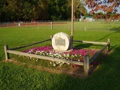
Harmon Field


Harmon Field Marker image. Click for full size.
Photographed By Stanley and Terrie Howard, September 6, 2008
1. Harmon Field Marker
Inscription.
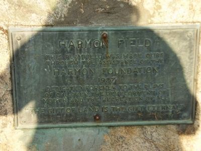
This playfield was made ours
through the assistance of the
Harmon Foundation
1927
Dedicated forever to the plays
of children, the development of
youth and the recreation of all
"The Gift of Land is the Gift Eternal"

 
Erected 1927 by Harmon Foundation.
 
Topics. This historical marker is listed in these topic lists: Charity & Public WorkSports. A significant historical year for this entry is 1927.
 
Location. 35° 13.452′ N, 82° 15.073′ W. Marker is in Tryon, North Carolina, in Polk County. Marker can be reached from Harmon Field Road (State Highway 1121). Located inside Harmon Field Park. Touch for map. Marker is in this post office area: Tryon NC 28782, United States of America. Touch for directions.
 
Other nearby markers. At least 8 other markers are within 3 miles of this marker, measured as the crow flies. Tryon Peak (about 700 feet away, measured in a direct line); Sidney Lanier (approx. 0.9 miles away); a different marker also named Sidney Lanier (approx. 0.9 miles away); Stoneman's Raid (approx. one mile away); Tryon Toy House (approx. 1.1 miles away); Tryon Mountain (approx. 1.3 miles away); The Tryon Horse (approx. 1.3 miles away); The Block House (approx. 2.3 miles away). Touch for a list and map of all markers in Tryon.
 
Paid Advertisement
Click on the ad for more information.
Please report objectionable advertising to the Editor.
Click or scan to see
this page online
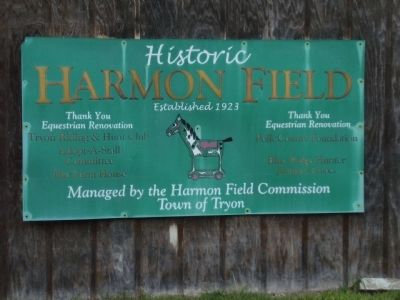
Harmon Field Marker image. Click for full size.
Photographed By Stanley and Terrie Howard, September 6, 2008
2. Harmon Field Marker
Harmon Field image. Click for full size.
Photographed By Stanley and Terrie Howard, September 6, 2008
3. Harmon Field
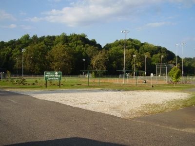
Ball Fields image. Click for full size.
Photographed By Stanley and Terrie Howard, September 6, 2008
4. Ball Fields
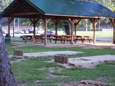
Picnic Area / Horse Shoe pits image. Click for full size.
Photographed By Stanley and Terrie Howard, September 6, 2008
5. Picnic Area / Horse Shoe pits
Harmon Field Walking Trail image. Click for full size.
Photographed By Stanley and Terrie Howard, September 6, 2008
6. Harmon Field Walking Trail
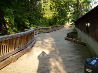
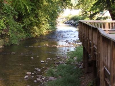
Board walk is along side of river image. Click for full size.
Photographed By Stanley and Terrie Howard, September 6, 2008
7. Board walk is along side of river
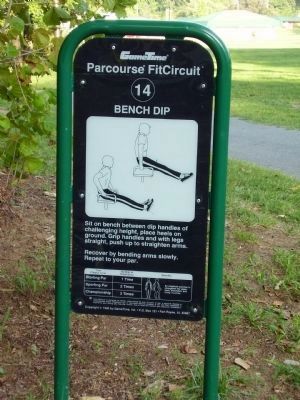
Workout guidelines image. Click for full size.
Photographed By Stanley and Terrie Howard, September 6, 2008
8. Workout guidelines
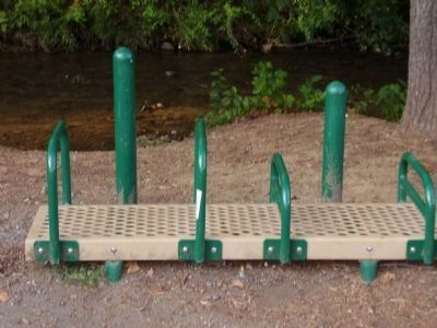
There are several workout stations along walking trail
Workout station image. Click for full size.
Photographed By Stanley and Terrie Howard, September 6, 2008
9. Workout station
 
 
Credits. This page was last revised on June 16, 2016. It was originally submitted on October 8, 2008, by Stanley and Terrie Howard of Greer, South Carolina. This page has been viewed 1,527 times since then and 34 times this year. Photos:   1, 2, 3, 4, 5, 6, 7, 8, 9. submitted on October 8, 2008, by Stanley and Terrie Howard of Greer, South Carolina. • Bill Pfingsten was the editor who published this page.
Share this page.  
Share on Tumblr
m=12254

CeraNet Cloud Computing sponsors the Historical Marker Database.
This website earns income from purchases you make after using our links to Amazon.com. We appreciate your support.
Paid Advertisement
Apr. 19, 2024