Manor Township near Creswell in Lancaster County, Pennsylvania — The American Northeast (Mid-Atlantic)
The Atglen & Susquehanna Low Grade
The Pennsylvania Railroad's Dedicated Freight Road
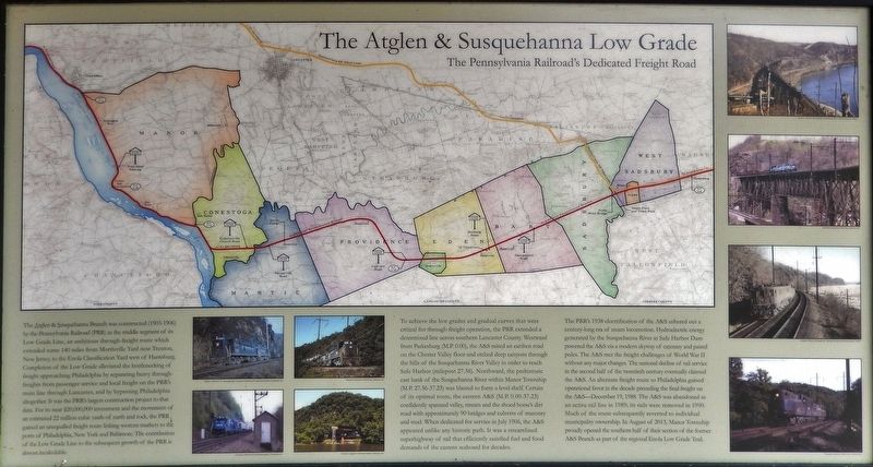
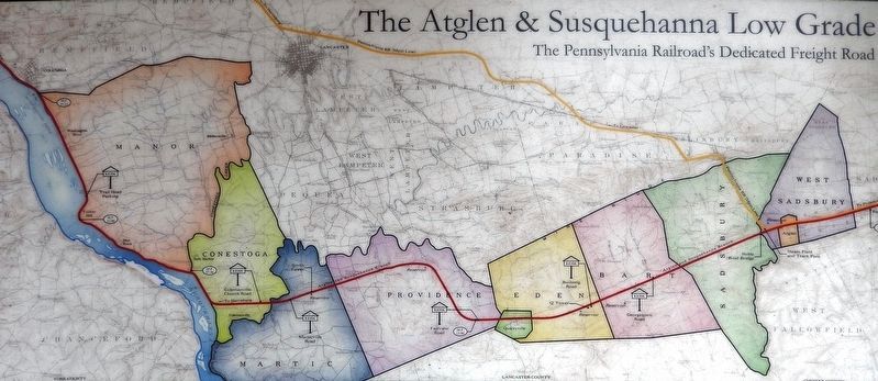
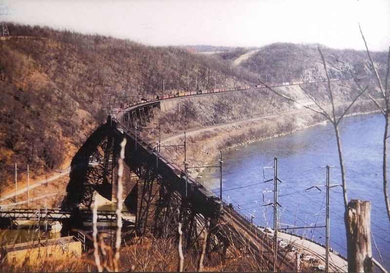
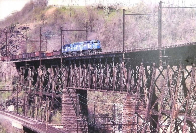
To achieve the low grades and gradual curves that were critical for through-freight operation, the PRR extended a determined line across southern Lancaster County. Westward from Parkesburg (M.P. 0.00), the A&S raised an earthen road on the Chester Valley floor and etched deep canyons through the hills of the Susquehanna River Valley in order to reach Safe Harbor (milepost 27.36). Northward, the prehistoric east bank of the Susquehanna River within Manor Township (M.P. 27.36-37.23) was blasted to form a level shelf. Certain of its optimal route, the eastern A&S (M.P. 0.00-37.23) confidently spanned valley, stream and the shoed horse's dirt road with approximately 90 bridges and culverts of masonry and steel. When dedicated for service in July 1906, the A&S appeared unlike any historic path. It was a streamlined superhighway of rail that efficiently satisfied fuel and food demands of the eastern seaboard for decades.
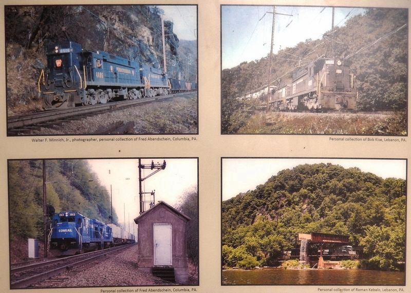
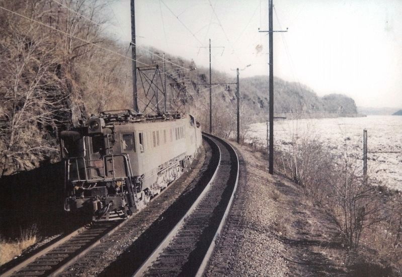
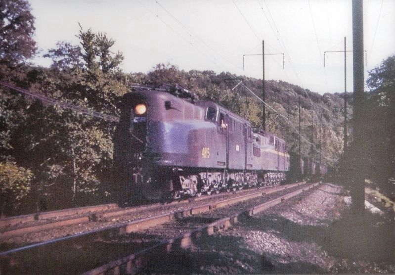
The PRR's 1938 electrification of the A&S ushered out a century-long era of steam locomotion. Hydroelectric energy generated by the Susquehanna River at Safe Harbor Dam powered the A&S via a modern skyway of catenary and paired poles. The A&S met the freight challenges of World War II without any major changes. The national decline of rail service in the second half of the twentieth century eventually claimed the A&S. An alternate freight route to Philadelphia gained operational favor in the decade preceding the final freight on the A&S--December 19, 1988. The A&S was abandoned as an active rail line in 1989; its rails were removed in 1990. Much of the route subsequently reverted to individual municipality ownership. In August of 2013, Manor Township proudly opened the southern half of their section of the former A&S Branch as part of the regional
Enola Low Grade Trail.
Erected by Amtrak.
Topics. This historical marker is listed in these topic lists: Industry & Commerce • Man-Made Features • Railroads & Streetcars.
Location. 39° 57.863′ N, 76° 27.35′ W. Marker is near Creswell, Pennsylvania, in Lancaster County. It is in Manor Township. Marker can be reached from River Road, half a mile south of Anchor Road, on the right when traveling south. Marker is located at the south end of the Turkey Hill Trail Nature Preserve parking lot, at the trailhead for the Enola Low Grade Trail, about 2/10 mile south of the park entrance from River Road. Touch for map. Marker is at or near this postal address: 2501 Enola Low Grade Trail, Conestoga PA 17516, United States of America. Touch for directions.
Other nearby markers. At least 8 other markers are within 3 miles of this marker, measured as the crow flies. Moving Heaven and Earth (here, next to this marker); Turkey Hill Dairy proudly salutes (approx. 0.6 miles away); Great Minqua Path (approx. 0.9 miles away); Rieber House (approx. 1.1 miles away); Susquehanna Canal (approx. 1.8 miles away); Susquehanna and Tidewater Canal (approx. 1.8 miles away); Washington Boro Archaeological Sites (approx. 2 miles away); Cresap's Fort (approx. 2.1 miles away).
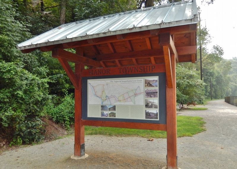
More about this marker. This is a large, "billboard-style" marker, mounted on the north-facing side of the trailhead kiosk for the Enola Low Grade Rail Trail.
Related markers. Click here for a list of markers that are related to this marker. The Atglen & Susquehanna Low Grade
Also see . . . Atglen and Susquehanna Branch. The Atglen and Susquehanna Branch is an abandoned branch line of the Pennsylvania Railroad. The line ran from Lemoyne to Atglen, Pennsylvania. The Atglen and Susquehanna (A&S) Branch was built by the Pennsylvania Railroad (PRR) between 1902 and 1906. It was designed for freight service, and minimizing the grade profile was of high importance, since freight service on the main line was hampered by relatively steep grade profiles. Thus the branch was often known simply as the "Low Grade." Since the right-of-way was transferred to the respective townships, about 29 miles of the line has been opened to the public in disconnected segments as the Enola Low Grade Trail. (Submitted on August 29, 2018, by Cosmos Mariner of Cape Canaveral, Florida.)
Credits. This page was last revised on February 7, 2023. It was originally submitted on August 28, 2018, by Cosmos Mariner of Cape Canaveral, Florida. This page has been viewed 828 times since then and 46 times this year. Last updated on April 25, 2021, by Carl Gordon Moore Jr. of North East, Maryland. Photos: 1, 2, 3. submitted on August 29, 2018, by Cosmos Mariner of Cape Canaveral, Florida. 4. submitted on September 5, 2018, by Cosmos Mariner of Cape Canaveral, Florida. 5, 6, 7. submitted on August 29, 2018, by Cosmos Mariner of Cape Canaveral, Florida. 8. submitted on September 5, 2018, by Cosmos Mariner of Cape Canaveral, Florida. • J. Makali Bruton was the editor who published this page.
