Manor Township near Millersville in Lancaster County, Pennsylvania — The American Northeast (Mid-Atlantic)
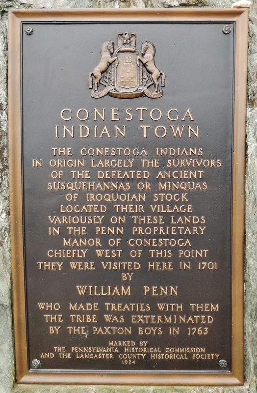
Conestoga Indian Town
in origin largely the survivors
of the defeated ancient
Susquehannas or Minquas
of Iroquoian stock
located their village
variously on these lands
in the Penn Proprietary
Manor of Conestoga
chiefly west of this point
They were visited here in 1701
by
William Penn
who made treaties with them
The tribe was exterminated
by the Paxton Boys in 1763
Marked by
The Pennsylvania Historical Commission
and the Lancaster County Historical Society
1924
Erected 1924 by Pennsylvania Historical Commission & Lancaster County Historical Society.
Topics and series. This historical marker is listed in these topic lists: Colonial Era • Native Americans. In addition, it is included in the Pennsylvania Historical and Museum Commission series list. A significant historical year for this entry is 1701.
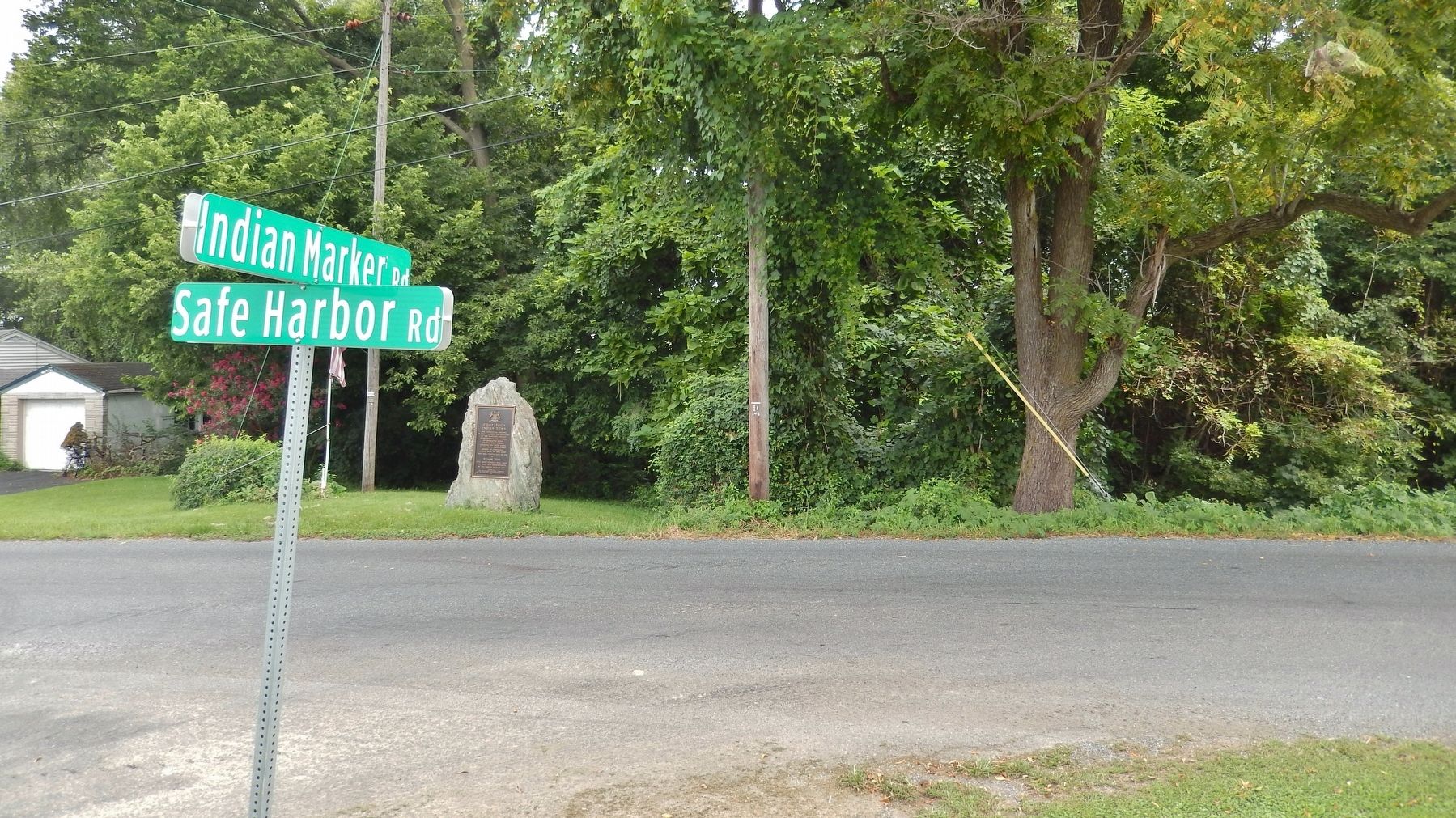
Location. 39° 57.595′ N, 76° 24.019′ W. Marker is near Millersville, Pennsylvania, in Lancaster County. It is in Manor Township. Marker is at the intersection of Safe Harbor Road and Indian Marker Road, on the right when traveling north on Safe Harbor Road. Marker is located in a grassy alcove, on the east side of Safe Harbor Road, where Indian Marker Road dead-ends into Safe Harbor Road. Touch for map. Marker is at or near this postal address: 2940 Safe Harbor Rd, Millersville PA 17551, United States of America. Touch for directions.
Other nearby markers. At least 8 other markers are within 3 miles of this marker, measured as the crow flies. A different marker also named Conestoga Indian Town (approx. 1.6 miles away); Iron Works (approx. 1.9 miles away); Rieber House (approx. 1.9 miles away); Houses for Employees of the Safe Harbor Iron Works (approx. 2 miles away); Conestoga (approx. 2.3 miles away); Turkey Hill Dairy proudly salutes (approx. 2.4 miles away); Justices met for the first time in Lancaster County and held several Courts of Justice (approx. 2˝ miles away); Port of Lancaster (approx. 2˝ miles away).
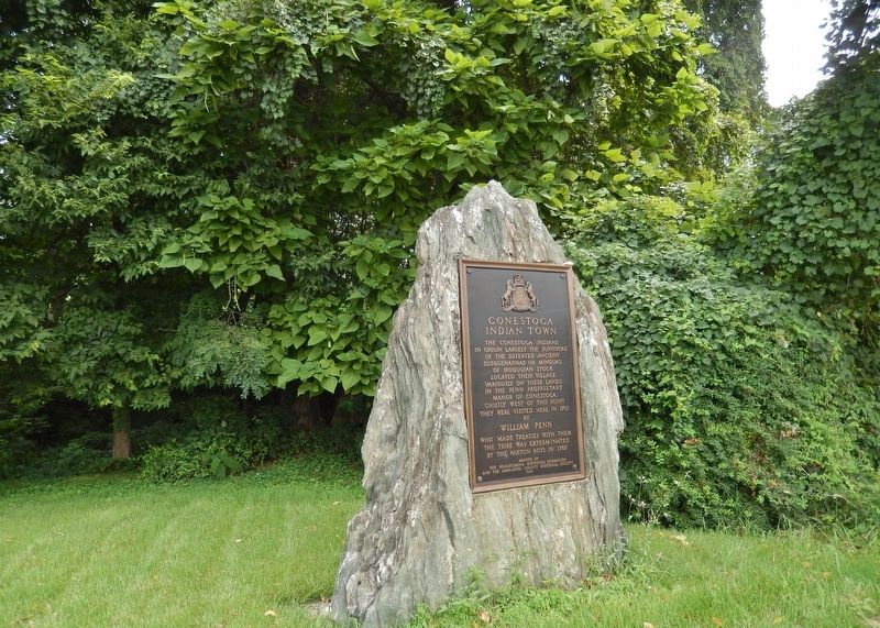
More about this marker. Marker is a large metal plaque mounted at waist level on a large, flat boulder.
Related markers. Click here for a list of markers that are related to this marker. The Conestoga Indian Massacre of 1763
Also see . . .
1. A History of Conestoga Indiantown. Conestoga Indiantown was at the forefront of Native American/Colonial relations in the eighteenth-century mid-Atlantic. The colonies of Pennsylvania, Maryland, and Virginia each signed treaties through Conestoga concerning a range of Native American issues. In hundreds of accounts written between 1701 and its demise in 1763, Indiantown served as a reference
point in the first surveys to determine the Pennsylvania/Maryland border 16 miles to the south. As Europeans moved in, Indiantown was increasingly regarded as a reservation and its inhabitants made increasingly dependent on both the Pennsylvania government and their European neighbors for sustenance. (Submitted on August 29, 2018, by Cosmos Mariner of Cape Canaveral, Florida.)
2. Conestoga Town. Conestoga Town is a historic archaeological site memorializing the Native American tribal village which stood on the site from the late 17th into the mid-18th-century; it is located at what is now Manor Township in Lancaster County, Pennsylvania. The town is a settlement at the southern end of the once vast range of the Susquehannock nation or Conestoga Indian nation. William Penn himself visited to negotiate with the tribal leaders; but by then its people were well past its tipping point and were fading into insignificance. The site is also one known to be among the last occupied of the Susquehannock town sites in Pennsylvania as they faded into obscurity. (Submitted on August 29, 2018, by Cosmos Mariner of Cape Canaveral, Florida.)
Credits. This page was last revised on February 7, 2023. It was originally submitted on August 28, 2018, by Cosmos Mariner of Cape Canaveral, Florida. This page has been viewed 1,056 times since then and 95 times this year. Last updated on November 30, 2020, by Carl Gordon Moore Jr. of North East, Maryland. Photos: 1, 2, 3. submitted on August 29, 2018, by Cosmos Mariner of Cape Canaveral, Florida. • Bill Pfingsten was the editor who published this page.


