Columbia in Lancaster County, Pennsylvania — The American Northeast (Mid-Atlantic)
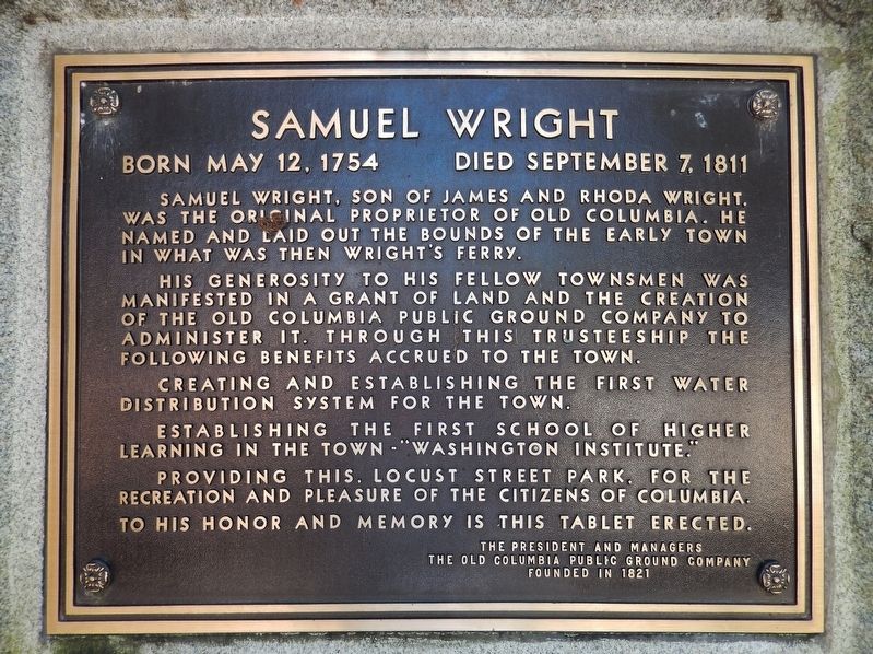
Samuel Wright
Born May 12, 1754 ~ Died September 7, 1811
His generosity to his fellow townsmen was manifested in a grant of land and the creation of the Old Columbia Public Ground Company to administer it. Through this trusteeship the following benefits accrued to the town.
Creating and establishing the first water distribution system for the town.
Establishing the first school of higher learning in the town – “Washington Institute.”
Providing this, Locust Street Park, for the recreation and pleasure of the citizens of Columbia.
To his honor and memory is this tablet erected.
The Old Columbia Public Ground Company
Founded in 1821
Erected 1957 by The President and Managers of the Old Columbia Public Ground Company.
Topics. This historical marker is listed in these topic lists: Education • Parks & Recreational Areas • Settlements & Settlers.
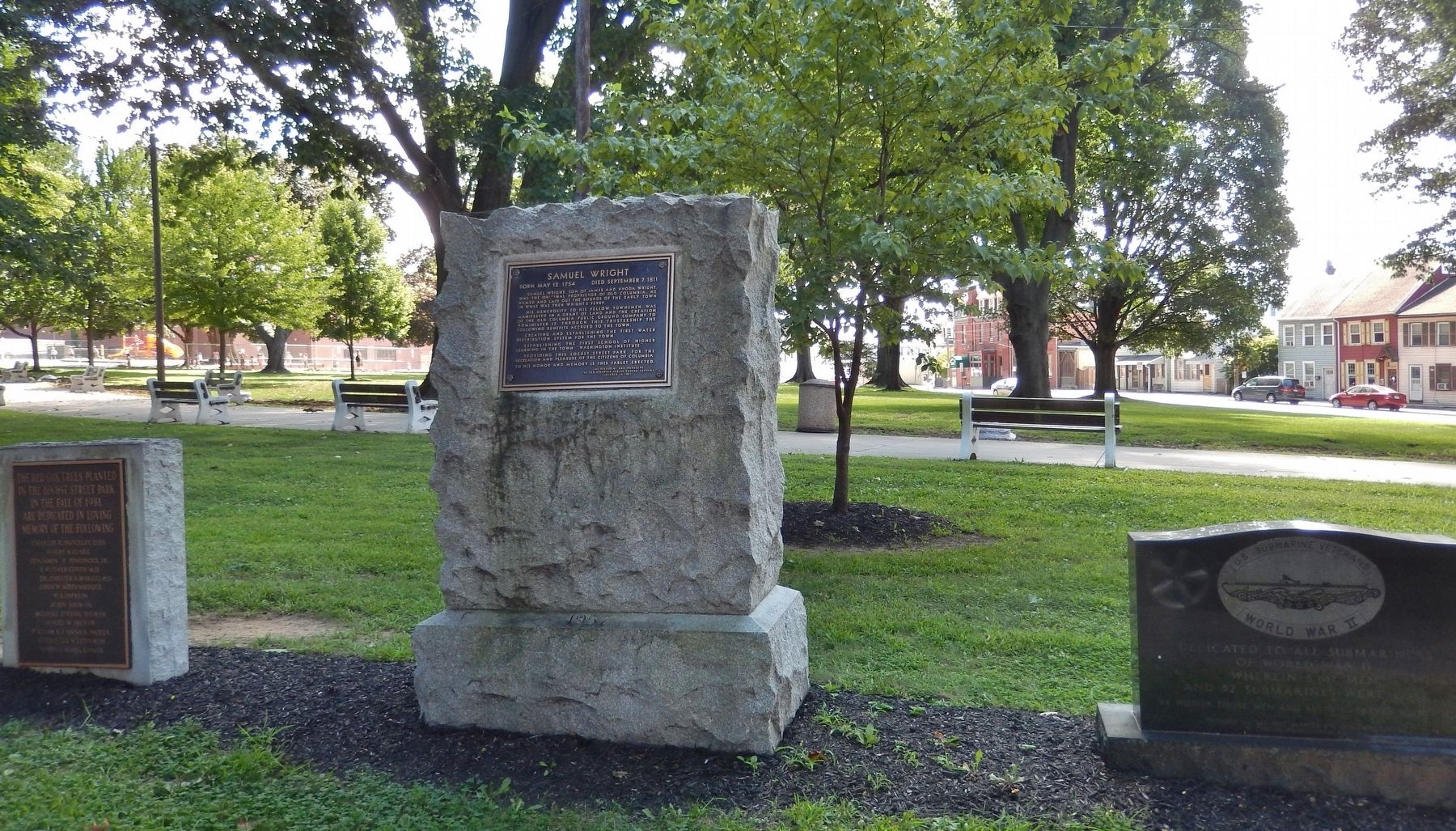
Location. 40° 2.047′ N, 76° 29.94′ W. Marker is in Columbia, Pennsylvania, in Lancaster County. Marker is on Locust Street north of Lancaster Avenue (Pennsylvania Route 462), on the right when traveling north. Marker is located near the sidewalk on the southeast side of the street, on the grounds of Locust Street Park. Touch for map. Marker is in this post office area: Columbia PA 17512, United States of America. Touch for directions.
Other nearby markers. At least 8 other markers are within walking distance of this marker. U.S. Submarine Veterans (here, next to this marker); "The Returned Soldier" (within shouting distance of this marker); Columbia (within shouting distance of this marker); Samuel & Lillian Evans Homestead (about 500 feet away, measured in a direct line); Keystone Hook & Ladder Company (about 800 feet away); Central National Bank of Columbia (approx. 0.2 miles away); Schroeder & Hinkle Pharmacy (approx. ¼ mile away); Columbia Market House (approx. ¼ mile away). Touch for a list and map of all markers in Columbia.
More about this marker. Marker is a large metal plaque, mounted on a 4-foot tall, rough-cut granite slab, facing Locust Street.
Also see . . .
1. 5 key moments in Columbia's history. In 1726, English Quaker John Wright purchased 250 acres of land along the Susquehanna River after deciding to live among Native Americans in what was then beyond established settlements. In 1730, Wright got a permit to operate a ferry across the Susquehanna River, and the ferry spawned a settlement known as Wright’s Ferry. In 1788, Wright’s grandson, Samuel, decided to sell building lots in the area to establish a new town that would take
advantage of the ferry traffic. In what turned out to be an unsuccessful attempt to attract the federal capital to his settlement, Samuel Wright called the town “Columbia” as an homage to Christopher Columbus. (Submitted on August 31, 2018, by Cosmos Mariner of Cape Canaveral, Florida.)
2. The Columbia Historic District. The Columbia Historic District was listed on the National Register of Historic Places in 1983. Starting with the establishment of Wrights' Ferry in 1730, Columbia served as a key to river, canal, rail and road travel, and as a result the community developed transshipment and industrial facilities to capitalize on the relatively easy access to major urban areas and markets. In addition, from its earliest settlements, Columbia and its leaders aided and influenced settlement and emigrations to adjacent York County and beyond. (Submitted on August 31, 2018, by Cosmos Mariner of Cape Canaveral, Florida.)
Credits. This page was last revised on June 1, 2021. It was originally submitted on August 30, 2018, by Cosmos Mariner of Cape Canaveral, Florida. This page has been viewed 386 times since then and 28 times this year. Last updated on June 1, 2021, by Carl Gordon Moore Jr. of North East, Maryland. Photos: 1, 2. submitted on August 31, 2018, by Cosmos Mariner of Cape Canaveral, Florida. • Bill Pfingsten was the editor who published this page.

