Eden Township near Quarryville in Lancaster County, Pennsylvania — The American Northeast (Mid-Atlantic)
A Job on the A & S
The Atglen & Susquehanna in Eden Township
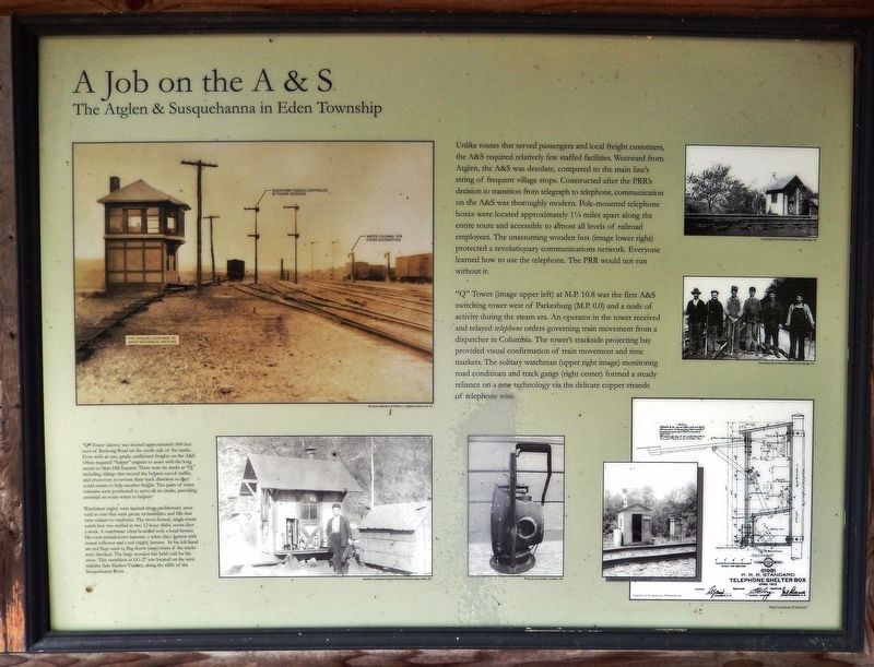
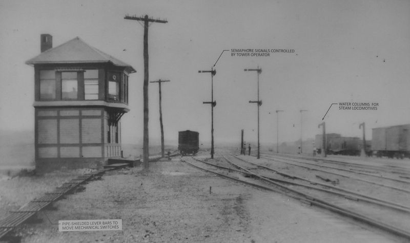
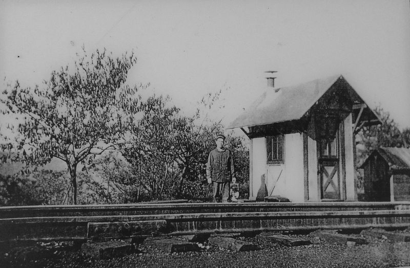
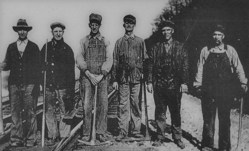
”Q” Tower (image upper left) at M.P. 10.8 was the first A&S switching tower west of Parkesburg (M.P. 0.0) and a node of activity during the steam era. An operator in the tower received and relayed telephone orders governing train movement from a dispatcher in Columbia. The tower's trackside projecting bay provided visual confirmation of train movement and time markers. The solitary watchman (upper right image) monitoring road conditions and track gangs (right center) formed a steady reliance on a new technology via the delicate copper strands of telephone wire.
”Q” Tower (above) was located approximately 600 feet west of Bushong Road on the south side of the tracks. Even with an easy grade, eastbound freights on the A&S Often required "helper" engines to assist with the long ascent to Mars Hill Summit. There were six tracks at “Q,” including sidings that moved the helpers out of traffic, and crossovers to reverse their track direction so they could return to help another freight. Two pairs of water columns were positioned to serve all six tracks, providing essential on-route water to helpers.
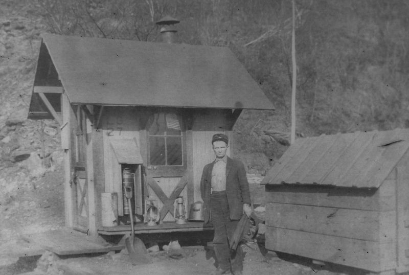
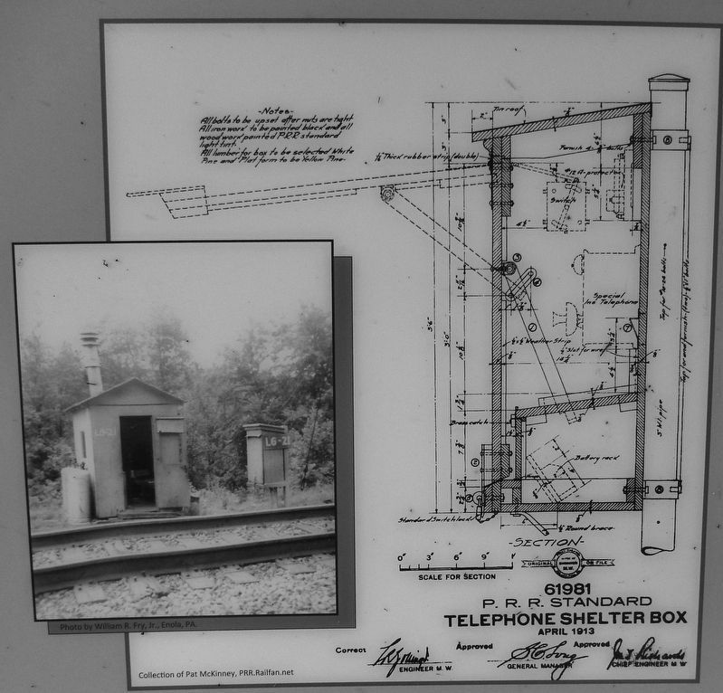
Watchmen (right) were located along problematic areas such as cuts that were prone to landslides and fills that were subject to washouts. The stove-heated, single-room watch box was staffed in two 12-hour shifts, seven days a week. A watchman often boarded with a local farmer. His tools included two lanterns, a white (day) lantern with round reflector and a red (night) lantern. In his left hand are red flags used to flag down (stop) trains if the tracks were blocked. The large wooden bin held coal for his stove. This watchbox at LG-27 was located on the west side of the Safe Harbor Viaduct, along the cliffs of the Susquehanna River.
[on upper left image] Pipe-shielded lever bars to move mechanical switches
Erected by Amtrak.
Topics. This historical marker is listed in these topic lists: Communications • Industry & Commerce • Railroads & Streetcars.
Location. 39° 54.424′ N, 76° 6.448′ W. Marker is near Quarryville, Pennsylvania, in Lancaster County. It is in Eden Township. Marker is on Bushong Road, 0.3 miles south of Valley Road (Pennsylvania Route 372), on the right when traveling south. Marker is located within the trailhead kiosk at the parking lot for access to the Enola Low Grade Trail, on the west side of Bushong Road and south of the trail. Touch for map. Marker is at or near this postal address: 114 Bushong Road, Quarryville PA 17566, United States of America. Touch for directions.
Other nearby markers. At least 8 other markers are within 6 miles of this marker, measured as the crow flies. The Atglen & Susquehanna Low Grade (a few steps from this marker); Jackson's Mill Bridge (1878) (approx. 1.6 miles away); Bartshire (approx. 2 miles away); A Stream for Steam (approx. 2½ miles away); Quarryville (approx. 3.6 miles away); Big Cut, Big Fill (approx. 4.2 miles away); The Christiana Riot (approx. 5.4 miles away); Drumore Township Illustrious Americans (approx. 5½ miles away). Touch for a list and map of all markers in Quarryville.
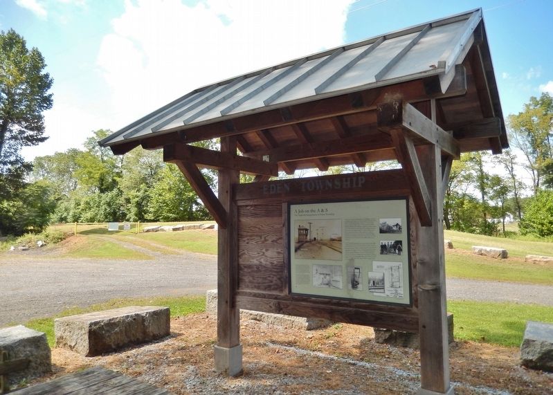
More about this marker. This is a large, "billboard-style" marker, mounted on the south-facing side of the trailhead kiosk for the Enola Low Grade Rail Trail.
Related markers. Click here for a list of markers that are related to this marker. The Atglen & Susquehanna Low Grade
Additional commentary.
1.
In photo 7, a copy of "The Atglen & Susquehanna Low Grade / The Pennsylvania Railroad's Dedicated Freight Road", already existing as a separate entry here on hmdb.org at a different location, is on the other side of subject plaque.
Bushong Road is off camera to right. In the background is part of a slope from the level of the former railroad leading down to grade level at Bushong Road, so the railroad apparently crossed over Bushong Road on a bridge.
— Submitted October 26, 2020, by Carl Gordon Moore Jr. of North East, Maryland.
Credits. This page was last revised on February 7, 2023. It was originally submitted on August 30, 2018. This page has been viewed 417 times since then and 34 times this year. Last updated on April 27, 2021. Photos: 1, 2, 3, 4, 5. submitted on September 1, 2018, by Cosmos Mariner of Cape Canaveral, Florida. 6. submitted on September 5, 2018, by Cosmos Mariner of Cape Canaveral, Florida. 7. submitted on September 1, 2018, by Cosmos Mariner of Cape Canaveral, Florida. • J. Makali Bruton was the editor who published this page.
