Near Mullan in Shoshone County, Idaho — The American West (Mountains)
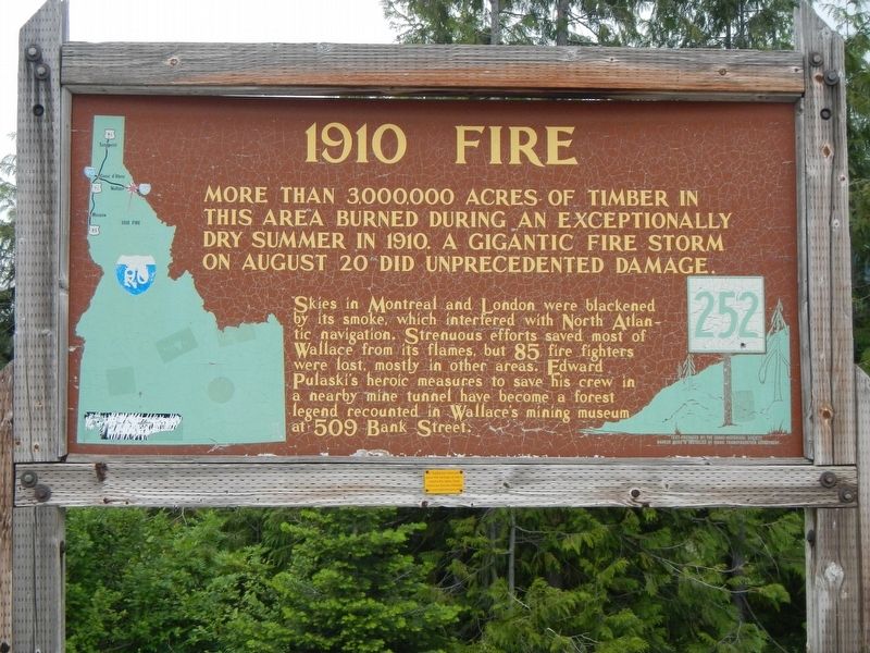
1910 Fire
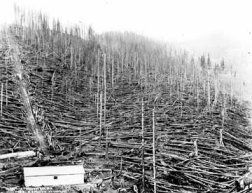
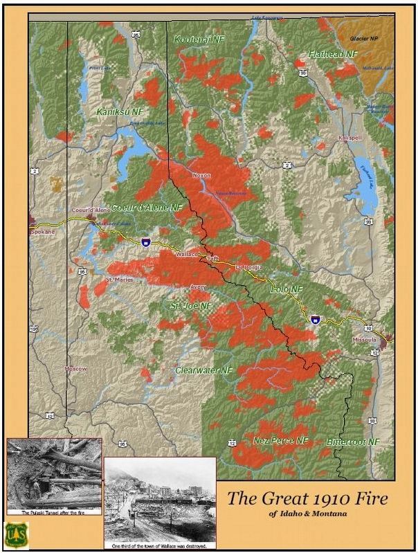
More than 3,000,000 acres of timber in this area burned during an exceptionally dry summer in 1910. A gigantic fire storm on August 20 did unprecedented damage.
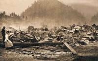
Skies in Montreal and London were blackened by its smoke, which interfered with North Atlantic navigation. Strenuous efforts saved most of Wallace from its flames, but 85 fire fighters were lost, mostly in other areas. Edward Pulaski's heroic measures to save his crew in a nearby mine tunnel have become a forest legend recounted in Wallace's mining museum at 509 Bank Street.
Erected by Idaho Department of Transportation. (Marker Number 252.)
Topics. This historical marker is listed in this topic list: Disasters. A significant historical date for this entry is August 20, 1919.
Location. 47° 27.75′ N, 115° 42.636′ W. Marker is near Mullan, Idaho, in Shoshone County. Marker is on Interstate 90 at milepost 73, on the left when traveling east. Touch for map. Marker is in this post office area: Mullan ID 83846, United States of America. Touch for directions.
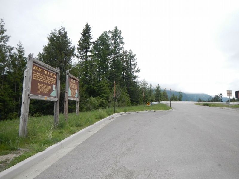
Other nearby markers. At least 8 other markers are within 5 miles of this marker, measured as the crow flies. Murray Gold Fields (here, next to this marker); Welcome to Silver Valley (a few steps from this marker); History of Lookout Pass (approx. 0.8 miles away); Willow Creek Slide (approx. 1.2 miles away); Lead-Silver Mines (approx. 1.2 miles away); A wonderful Piece of Engineering: The Mullan Road (approx. 4.9 miles away in Montana); A Lost World (approx. 4.9 miles away in Montana); Join the Voyage of Discovery (approx. 4.9 miles away in Montana). Touch for a list and map of all markers in Mullan.
More about this marker. This marker is located at a westbound turnout on Interstate Highway 90, just west of Lookout Pass and the Montana/Idaho stateline.
Also see . . .
1. The Great 1910 Fire of Idaho, Montana, and Washington -- 1910fire.com.
“I want to call your attention to the wonderful work done by the Forest Service in fighting the great fires this year. With very inadequate appropriation made for the Forest Service, nevertheless that service, because of the absolute honesty and efficiency with which it has been conducted, has borne itself so as to make an American proud of having such a body of public servants; and they have shown the same qualities of heroism in battling with the fire, at the peril and sometimes to the loss of their lives, that the firemen of the great cities show in dealing with burning buildings.” - Theodore Roosevelt September 1910, President of the United States 1901 - 1909 (Submitted on September 2, 2018, by Barry Swackhamer of Brentwood, California.)
2. The 1910 Fires. Forest History Society website entry:
Official reports after the Big Blowup estimated that 1,736 total fires burned more than 3 million acres of private and federal land and consumed an estimated 7.5 billion board feet of timber. At least 85 people were killed. Several small towns were completely destroyed, and one-third of Wallace was burned. Smoke from the fires reached New England and soot travelled all the way to Greenland. Nationally, wildfires in 1910 consumed more than 5 million acres. The Lake States region saw its worst fire season ever, with more than a million acres lost. (Submitted on September 2, 2018, by Barry Swackhamer of Brentwood, California.)
Credits. This page was last revised on December 29, 2021. It was originally submitted on September 2, 2018, by Barry Swackhamer of Brentwood, California. This page has been viewed 887 times since then and 62 times this year. Photos: 1, 2, 3, 4, 5. submitted on September 2, 2018, by Barry Swackhamer of Brentwood, California.
