Near Jacksonville in Cherokee County, Texas — The American South (West South Central)
Earle's Chapel Methodist Church
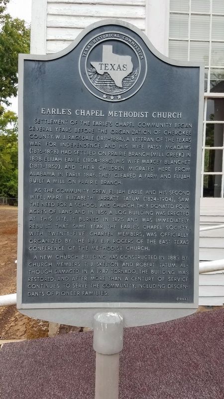
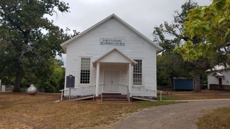
Settlement of the Earle's Chapel community began several years before the organization of Cherokee County. W. J. Ragsdale (1811-1884), a veteran of the Texas War for Independence, and his wife Patsy McAdams (1816-1898) had settled on Prairie Branch (Mill Creek) in 1838. Elijah Earle (1804-1880), his wife Nancy Blanchett (1811-1852) and their children migrated here from Alabama in early 1846. They cleared a farm and Elijah built a mill on Prairie Branch. As the community grew, Elijah Earle and his second wife, Mary Elizabeth Jarratt Tatum (1824-1904), saw the need for a school and church. They donated four acres of land, and in 1859 a log building was erected at this site. It burned in 1875 and was immediately rebuilt. That same year, the Earle's Chapel Society, with twenty-five charter members, was officially organized by the Rev. E. P. Rogers of the East Texas Conference of the Methodist Church. A new church building was constructed in 1889 by church members T. J. Skeleton and Robert Tatum. Although damaged in a 1987 tornado, the building was restored, and after more than a century of service continues to serve the community, including descendants of pioneer families.
Erected 1992 by Texas Historical Commission. (Marker Number 6763.)
Topics. This historical marker is listed in these topic lists: Cemeteries & Burial Sites • Churches & Religion • Settlements & Settlers. A significant historical year for this entry is 1838.
Location. 31° 56.417′ N, 95° 20.631′ W. Marker is near Jacksonville, Texas, in Cherokee County. Touch for map. Marker is at or near this postal address: 436 Co Rd 3221, Jacksonville TX 75766, United States of America. Touch for directions.
Other nearby markers. At least 8 other markers are within 4 miles of this marker, measured as the crow flies. Earle's Chapel Cemetery (within shouting distance of this marker); Texas Civil War Iron Works (approx. 3.4 miles away); Thomas Jefferson Dean (approx. 3.6 miles away); David Greene Templeton (approx. 3.7 miles away); Jackson Smith (approx. 3.7 miles away); Old Neches Saline Road (approx. 3.9 miles away); Judge H.T. Brown (approx. 3.9 miles away); Sea Scouts Ship 400 (approx. 3.9 miles away). Touch for a list and map of all markers in Jacksonville.
Credits. This page was last revised on August 20, 2023. It was originally submitted on September 3, 2018, by Mike Wintermantel of Pittsburgh, Pennsylvania. This page has been viewed 255 times since then and 13 times this year. Photos: 1, 2. submitted on September 3, 2018, by Mike Wintermantel of Pittsburgh, Pennsylvania.

