Near Jacksonville in Cherokee County, Texas — The American South (West South Central)
Earle's Chapel Cemetery
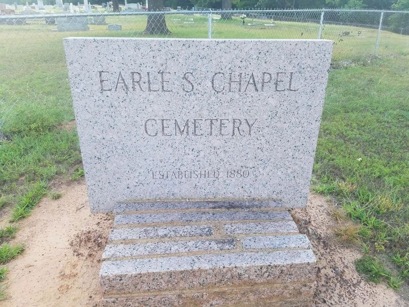
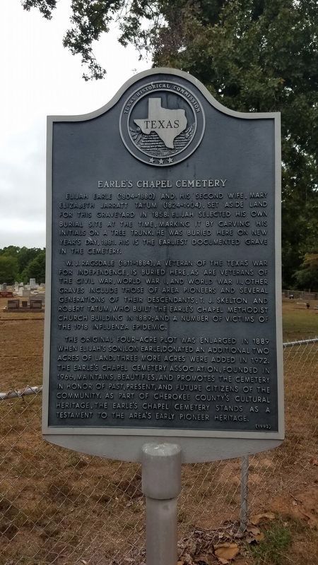
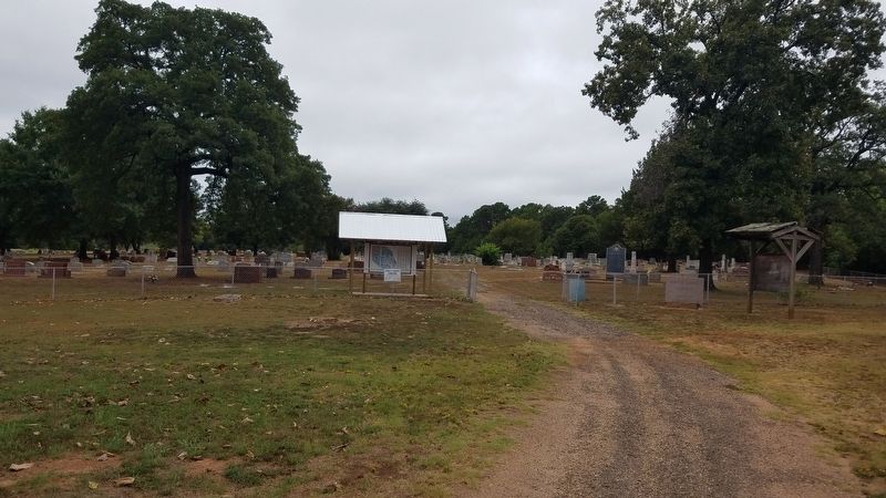
Elijah Earle (1804-1880) and his second wife, Mary Elizabeth Jarratt Tatum (1824-1904), set aside land for this graveyard in 1858. Elijah selected his own burial site at the time, marking it by carving his initials on a tree trunk. He was buried here on New Year's Day 1881. His is the earliest documented grave in the cemetery. W. J. Ragsdale (1811-1884), a veteran of the Texas War for Independence, is buried here, as are veterans of the Civil War, World War I and World War II. Other graves include those of area pioneers and several generations of their descendants; T. J. Skelton and Robert Tatum, who built the Earle's Chapel Methodist Church building in 1889; and a number of victims of the 1918 influenza epidemic. The original four-acre plot was enlarged in 1889 when Elijah's son, Lon Earle, donated an additional two acres of land. Three more acres were added in 1972. The Earle's Chapel Cemetery Association, founded in 1966, maintains, beautifies and promotes the cemetery in honor of past, present and future citizens of the community. As part of Cherokee County's cultural heritage, the Earle's Chapel Cemetery stands as a testament to the area's early pioneer heritage.
Erected 1992 by Texas Historical Commission. (Marker Number 6684.)
Topics. This historical marker is listed in these topic lists: Cemeteries & Burial Sites • War, US Civil • War, World I • War, World II. A significant historical year for this entry is 1858.
Location. 31° 56.398′ N, 95° 20.648′ W. Marker is near Jacksonville, Texas, in Cherokee County. Touch for map. Marker is at or near this postal address: 436 Co Rd 3221, Jacksonville TX 75766, United States of America. Touch for directions.
Other nearby markers. At least 8 other markers are within 4 miles of this marker, measured as the crow flies. Earle's Chapel Methodist Church (within shouting distance of this marker); Texas Civil War Iron Works (approx. 3.3 miles away); Thomas Jefferson Dean (approx. 3.6 miles away); David Greene Templeton (approx. 3.7 miles away); Jackson Smith (approx. 3.7 miles away); Old Neches Saline Road (approx. 3.9 miles away); Judge H.T. Brown (approx. 3.9 miles away); Sea Scouts Ship 400 (approx. 3.9 miles away). Touch for a list and map of all markers in Jacksonville.

via Friends of Earle’s Chapel Cemetery, unknown
2. Earle's Chapel Cemetery
friends of Earle’s Chapel Cemetery website entry
Click for more information.
Click for more information.
Credits. This page was last revised on June 8, 2022. It was originally submitted on September 3, 2018, by Mike Wintermantel of Pittsburgh, Pennsylvania. This page has been viewed 331 times since then and 21 times this year. Photos: 1. submitted on September 3, 2018, by Mike Wintermantel of Pittsburgh, Pennsylvania. 2. submitted on June 7, 2022, by Larry Gertner of New York, New York. 3. submitted on September 3, 2018, by Mike Wintermantel of Pittsburgh, Pennsylvania.

