Salina in Saline County, Kansas — The American Midwest (Upper Plains)
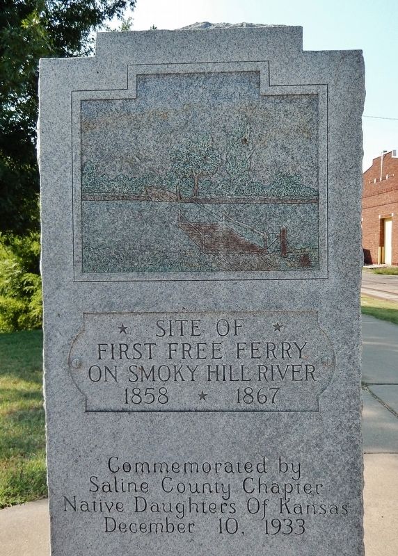
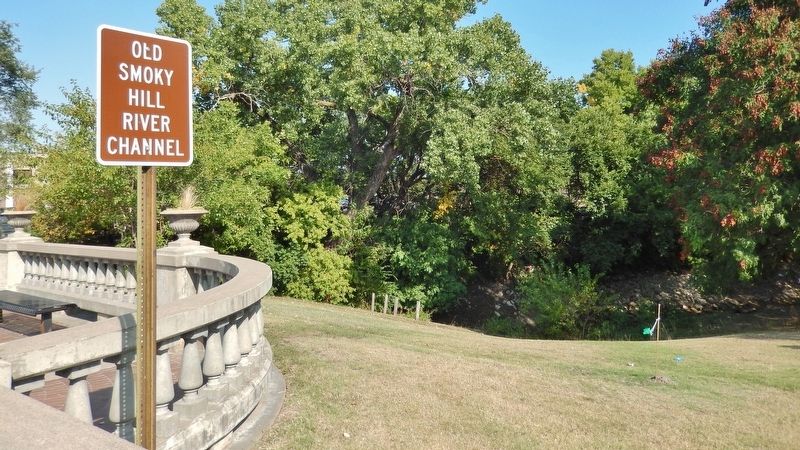
Site of First Free Ferry on Smoky Hill River
1858-1867
Inscription.
first free ferry
on Smoky Hill River
1858-1867
Commemorated by
Saline County Chapter
Native Daughters of Kansas
December 10, 1933
Erected 1933 by Native Daughters of Kansas.
Topics. This historical marker is listed in these topic lists: Roads & Vehicles • Settlements & Settlers • Waterways & Vessels.
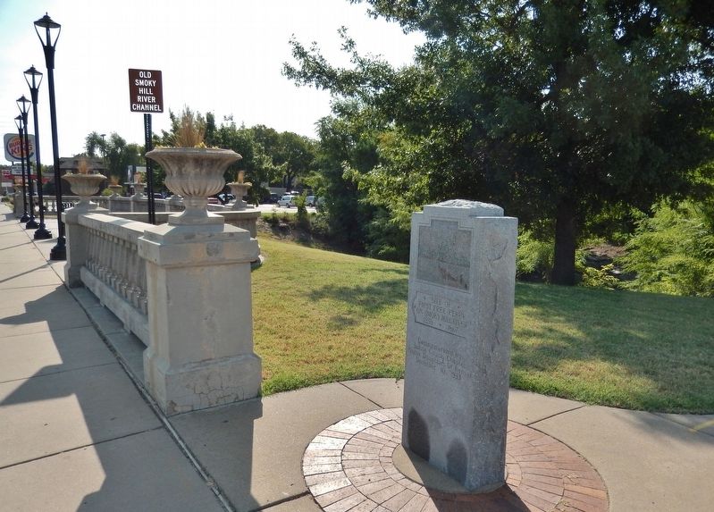
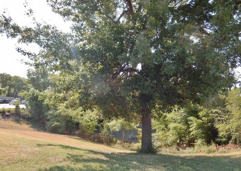
Location. 38° 50.423′ N, 97° 36.419′ W. Marker is in Salina, Kansas, in Saline County. Marker is at the intersection of East Iron Avenue and South 4th Street, on the right when traveling east on East Iron Avenue. Marker is located in Salina's Founders Park, on the south side of East Iron Avenue, beside the sidewalk, between South 4th Street and the bridge. Touch for map. Marker is in this post office area: Salina KS 67401, United States of America. Touch for directions.
Other nearby markers. At least 8 other markers are within walking distance of this marker. Founders Park (within shouting distance of this marker); The Founders of the Salina Town Company (about 800 feet away, measured in a direct line); Fox-Watson Theatre (approx. 0.2 miles away); August Bondi (approx. ¼ mile away); Gen. John A. Logan (approx. 0.4 miles away); Oakdale Memorial Gateway (approx. 0.4 miles away); Col. William A. Phillips (approx. 0.4 miles away); Memorial Hall (approx. 0.4 miles away). Touch for a list and map of all markers in Salina.
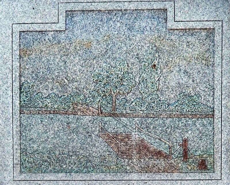
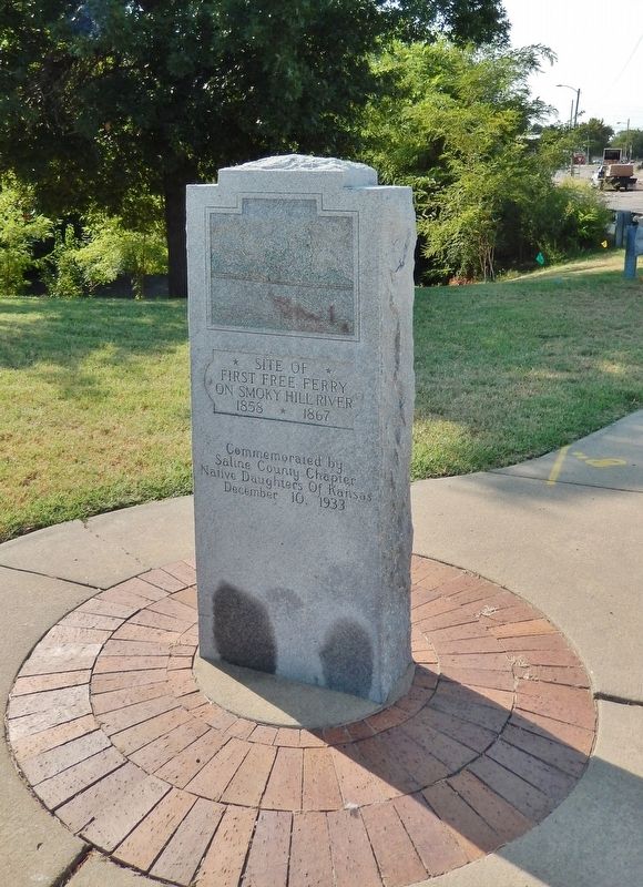
More about this marker. Marker is a 5-foot tall polished gray granite slab, with an inscription and engraved image on the north-facing side.
Also see . . .
1. Ferries in Kansas, Part VI, Smoky Hill River. In 1854 or 1855 the government built a bridge at the Smoky Hill crossing, located a mile or two southwest of present Kanopolis, Ellsworth county. This structure went out during a flood in June, 1858, and much of the timber used in its construction drifted downstream as far as Salina, where it was salvaged by Alexander M. Campbell, who was operating a trading post on the river. That fall Mr. Campbell and James Muir built a ferryboat, using this salvaged timber for that purpose, and putting their boat into use late in the year. The ferry location was where Iron avenue crosses the river, this point being also the end of the Phillips road which followed the divide south of the Kaw and Smoky Hill rivers from Lawrence to Salina. Campbell's ferry was a free ferry, the only institution of the kind in that part of the country, and was operated until the completion of a bridge across the river near the old landing place. Some of the old-timers say they used the ferry as a bridge when the river was low, and as a ferry when the river was up. This ferry was operated for about nine years. (Submitted on September 4, 2018, by Cosmos Mariner of Cape Canaveral, Florida.)
2. Alexander M. Campbell. It was in March, 1858, that Mr. Campbell, in company with his brother-in-law, Col. William A. Phillips, came to Salina. His was one of the organizing minds and a townsite company was formed, made up of Mr. Campbell, Colonel Phillips and others, which laid out and platted the town. There were no railroad facilities at the time and these pioneers covered the distance from Lawrence on foot. The first house in the projected town was 1½ stories high and was constructed of native logs. Mr. Campbell opened the first store in this building as soon as completed, conducting for a year for Colonel Phillips and then becoming proprietor. The Salina post office was established in this building and Mr. Campbell was made postmaster, an office he retained continuously for about forty years, an unusual record. (Submitted on September 4, 2018, by Cosmos Mariner of Cape Canaveral, Florida.)
Credits. This page was last revised on September 5, 2018. It was originally submitted on September 4, 2018, by Cosmos Mariner of Cape Canaveral, Florida. This page has been viewed 308 times since then and 23 times this year. Photos: 1, 2, 3, 4, 5, 6. submitted on September 4, 2018, by Cosmos Mariner of Cape Canaveral, Florida. • Andrew Ruppenstein was the editor who published this page.
