Northside in Houston in Harris County, Texas — The American South (West South Central)
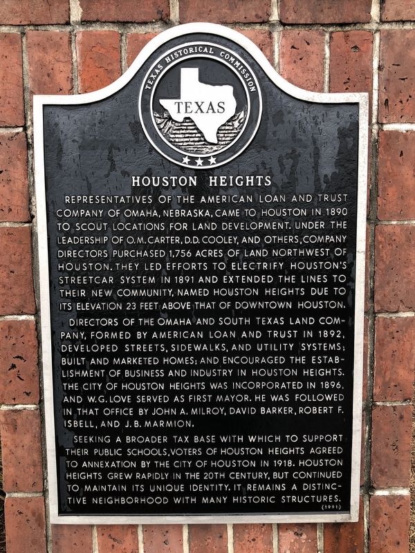
Houston Heights
Directors of the Omaha and South Texas Land Company, formed by American Loan and Trust in 1892, developed streets, sidewalks, and utility systems; built and marketed homes; and encouraged the establishment of business and industry in Houston Heights. The city of Houston Heights was incorporated in 1896, and W.G. Love served as first mayor. He was followed in that office by John A. Milroy, David Barker, Robert F. Isbell, and J.B. Marmion.
Seeking a broader tax base with which to support their public schools, voters of Houston Heights agreed to annexation by the city of Houston in 1918. Houston Heights grew rapidly in the 20th century, but continued to maintain its unique identity. It remains a distinctive neighborhood with many historic structures.
Erected 1991 by Texas Historical Commission. (Marker Number 10695.)
Topics. This historical marker is listed in these topic lists: Industry & Commerce • Settlements & Settlers. A significant historical year for this entry is 1890.
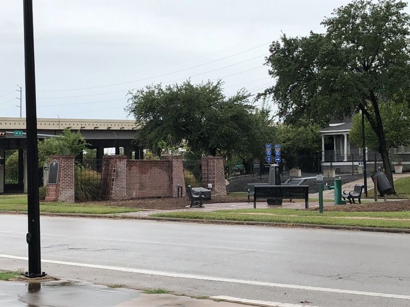
Location. 29° 46.631′ N, 95° 23.841′ W. Marker is in Houston, Texas, in Harris County. It is in Northside. Marker is at the intersection of Heights Boulevard and Katy Freeway Service Road (Frontage Interstate 10 Frontage Road), in the median on Heights Boulevard. Marker is located in a small park situated in the median of Heights Boulevard. Touch for map. Marker is at or near this postal address: 3620 Katy Freeway, Houston TX 77007, United States of America. Touch for directions.
Other nearby markers. At least 8 other markers are within walking distance of this marker. Olivewood Cemetery (approx. 0.4 miles away); Damascus Missionary Baptist Church (approx. 0.6 miles away); Houston Cemetery Company (approx. 0.9 miles away); William Gammell (approx. 0.9 miles away); Eugene Thomas Heiner (approx. one mile away); Ellis Benson (approx. one mile away); James Robert Cade (approx. one mile away); Caspar Braun (approx. one mile away). Touch for a list and map of all markers in Houston.
Credits. This page was last revised on February 1, 2023. It was originally submitted on September 4, 2018, by Brian Anderson of Humble, Texas. This page has been viewed 378 times since then and 24 times this year. Photos: 1, 2. submitted on September 4, 2018, by Brian Anderson of Humble, Texas. • Bernard Fisher was the editor who published this page.

