Phoenix in Jackson County, Oregon — The American West (Northwest)
Applegate Trail Pioneers
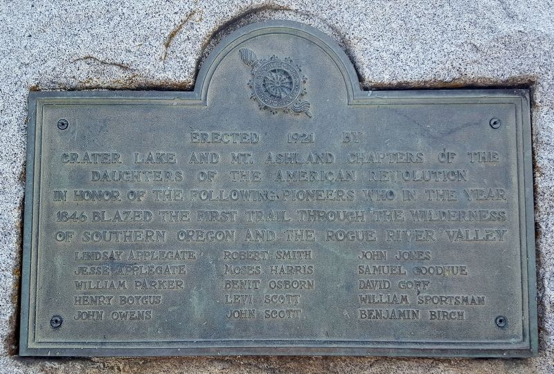
1846 Blazed the First Trail Through the Wilderness
of Southern Oregon and the Rogue River Valley
Lindsay Applegate — Robert Smith — John Jones
Jesse Applegate — Moses Harris — Samuel Goodhue
William Parker — Benit Osborn — David Goff
Henry Boygus — Levi Scott — William Sportsman
John Owens — John Scott — Benjamin Birch
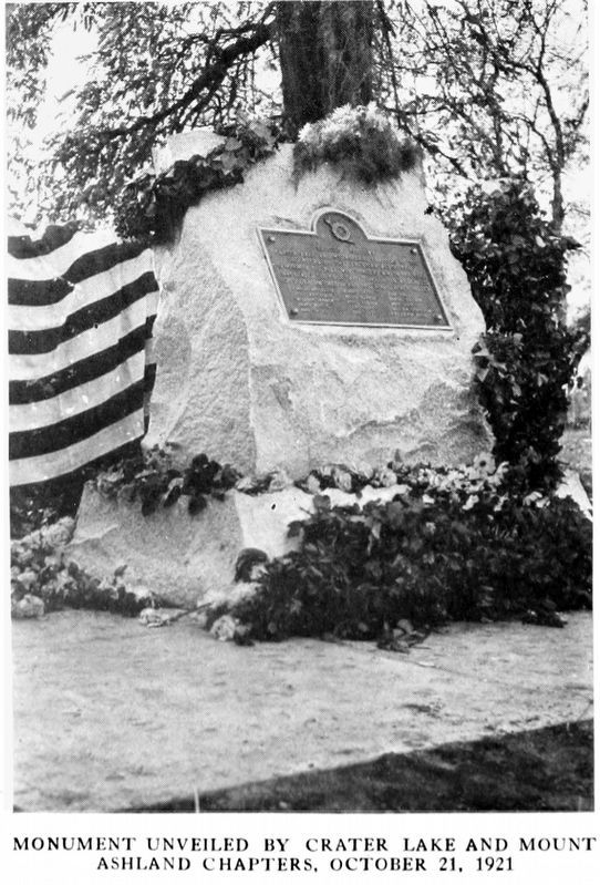
Erected 1921 by Crater Lake and Mt. Ashland Chapter of the Daughters of the American Revolution.
Topics and series. This historical marker is listed in this topic list: Exploration. In addition, it is included in the Applegate Trail, and the Daughters of the American Revolution series lists. A significant historical year for this entry is 1846.
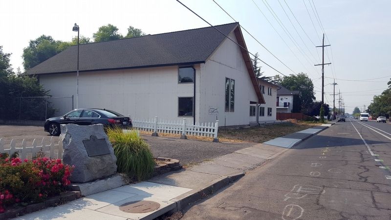
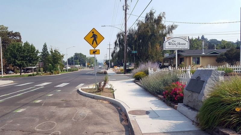
Location. 42° 16.313′ N, 122° 48.807′ W. Marker is in Phoenix, Oregon, in Jackson County. Marker is at the intersection of Pacific Highway (U.S. 99) and Oak Street, on the right when traveling south on Pacific Highway. Touch for map. Marker is in this post office area: Phoenix OR 97535, United States of America. Touch for directions.
Other nearby markers. At least 8 other markers are within 4 miles of this marker, measured as the crow flies. Camp Baker (approx. 1.2 miles away); World War II Veterans Memorial (approx. 2.3 miles away); Fort Wagner (approx. 2˝ miles away); Harry & David Comice Pear Trees (approx. 2.9 miles away); Applegate Trail - Bear Creek (approx. 3 miles away); Newell Barber Field (approx. 3.3 miles away); Miles Field (approx. 3.4 miles away); Applegate Trail - Down Bear Creek (approx. 3.6 miles away).
Regarding Applegate Trail Pioneers. The 1846 Applegate Trail—Southern Route to Oregon
(by the National Park Service)
The perilous last leg of the Oregon Trail down the Columbia River rapids took lives, including the sons of Jesse and Lindsay Applegate in 1843. The Applegate brothers and others vowed to look for an all-land route into Oregon from Fort Hall (in present-day Idaho) for future settlers. Additionally,
It was important to have a way by such we could leave the country without running the gauntlet of the Hudson’s Bay Co.’s forts and falling prey to Indians which were under British influence. -Lindsay Applegate
In 1846 Jesse and Lindsay Applegate and 13 others from near Dallas, Oregon, headed south following old trapper trails into a remote region of Oregon Country. First they crossed the
Calapooya Mountains, then the Umpqua Valley, Canyon Creek, and the Rogue Valley. They next turned east and went over the Cascade Mountains to the lakes of the Klamath Basin. The party detoured around the lakes and located the trail through canyons, over mountain passes, and across deserts, connecting the trail south from the Willamette Valley with the existing California Trail. In August 1846 the first emigrants to trek the new southern road left Fort Hall. With Levi Scott guiding the wagons, Jesse Applegate and others traveled ahead to mark the route. The trailblazers opened a wagon road through nearly 500 miles of wilderness, arriving in the upper Willamette Valley in December.
The Applegate Trail, part of the California National Historic Trail, contributed significantly to the settlement of southern Oregon.
Also see . . .
1. Applegate Trail - History of the Southern Route. Excellent website providing history of the Applegate Trail and other historic emigrant trails on the West Coast. (Submitted on August 31, 2018, by Douglass Halvorsen of Klamath Falls, Oregon.)
2. Emigrant Trails West Photo Tour of the Applegate Trail. A website devoted to historic emigrant trails and providing photos of historic sections of the Applegate Trail into Southern Oregon. (Submitted on August 31, 2018, by Douglass Halvorsen of Klamath Falls, Oregon.)
Credits. This page was last revised on October 19, 2020. It was originally submitted on August 31, 2018, by Douglass Halvorsen of Klamath Falls, Oregon. This page has been viewed 229 times since then and 26 times this year. Last updated on September 5, 2018, by Douglass Halvorsen of Klamath Falls, Oregon. Photos: 1, 2, 3. submitted on August 31, 2018, by Douglass Halvorsen of Klamath Falls, Oregon. 4. submitted on December 23, 2018, by Allen C. Browne of Silver Spring, Maryland. • Syd Whittle was the editor who published this page.


