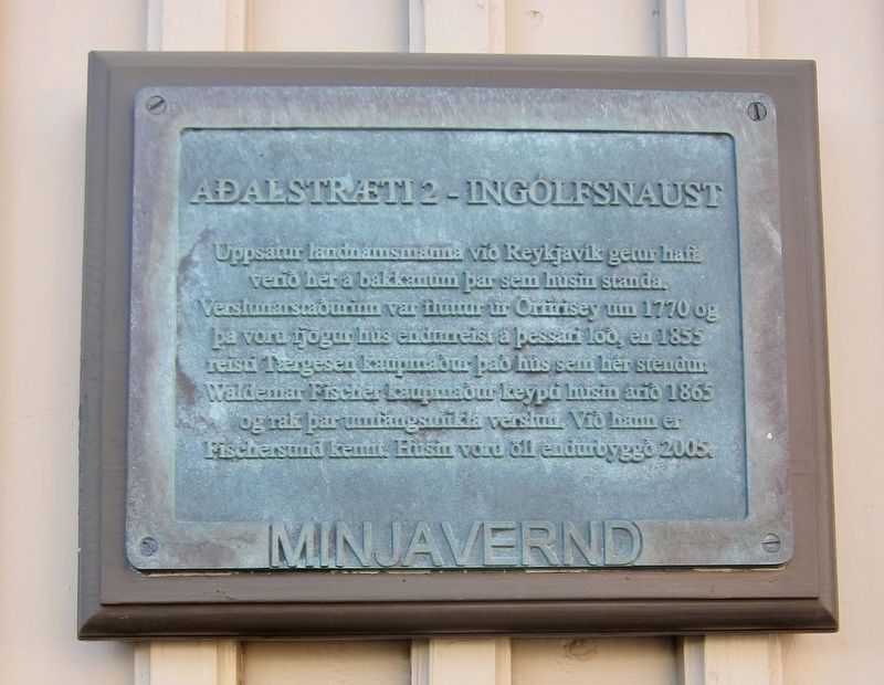
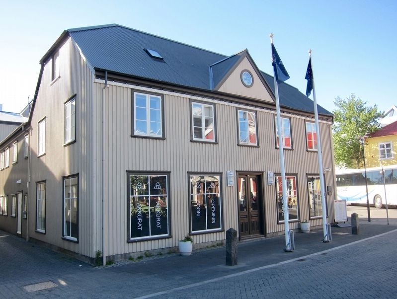
AalstrŠti 2 - Ingˇlfsnaust
-
Inland settlers of Reykjavik may have been here on the hill where these houses stand.
Commercial buildings were moved here from Írfirisey (a nearby local area) in 1770, and four buildings remained on this site, and in 1855 the merchant TŠrgesen trader built the house here. The merchant Waldemar Fischer bought the houses in 1865 and ran a wide-ranging business. Through Fischer's efforts, Fischersund (this area) became known. The houses were all rebuilt in 2005.
Erected 2012 by Minjavernd, Reitir.
Topics. This historical marker is listed in these topic lists: Industry & Commerce
Location. 64° 8.91′ N, 21° 56.493′ W. Marker is in ReykjavÝk, Capital Region (H÷fuborgarsvŠi), in ReykjavÝkurborg. It is in Centre. Marker is at the intersection of AalstrŠti and Vesturgata, on the left when traveling north on AalstrŠti. Touch for map. Marker is at or near this postal address: AalstrŠti 2, ReykjavÝk, Capital Region 101, Iceland. Touch for directions.
Other nearby markers. At least 8 other markers are within walking distance of this marker. Adlon (within shouting distance of this marker); Einar Benediktsson (within shouting distance of this marker); AalstrŠti 12 - ═safold (about 90 meters away, measured in a direct line); Grjˇgata 4 (about 90 meters away); Grjˇta■orp (about 120 meters away); AalstrŠti 16 (about 120 meters away); The Settlement of ReykjavÝk (about 120 meters away); Laufey Jakobsdˇttir (about 120 meters away). Touch for a list and map of all markers in ReykjavÝk.
Credits. This page was last revised on February 3, 2020. It was originally submitted on September 11, 2018, by Andrew Ruppenstein of Lamorinda, California. This page has been viewed 251 times since then and 7 times this year. Photos: 1, 2. submitted on September 11, 2018, by Andrew Ruppenstein of Lamorinda, California.

