Kooskia in Idaho County, Idaho — The American West (Mountains)
Lewis and Clark Route
September 15, 1805
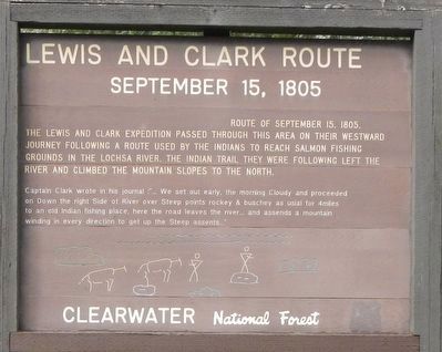
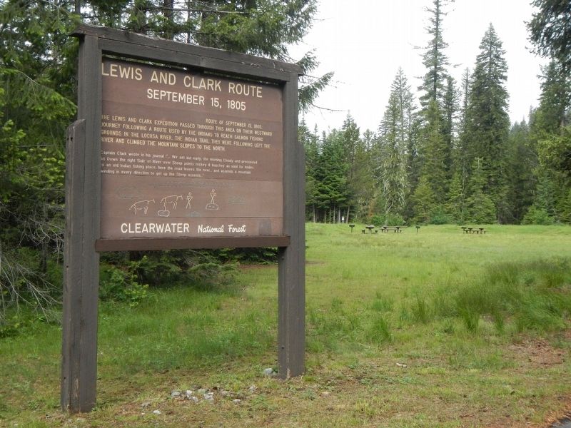
The Lewis and Clark Expedition passed through this area on their westward journey following a route used by the Indians to reach Salmon fishing grounds in the Lochsa River. The Indian trail they were following left the river and climbed the mountain slopes to the north.
Captain Clark wrote in his journal: "...We set out early. the morning Cloudy and proceeded on Down the right Side of River over Steep points rockey & buschey as usial for 4miles to and old Indian fishing pace. here the road leaves the river... and ascends a mountain winding in every direction to get up the Steep assent..."
Erected by U.S. Forest Service, Clearwater National Forest.
Topics and series. This historical marker is listed in this topic list: Exploration. In addition, it is included in the Lewis & Clark Expedition series list. A significant historical date for this entry is September 15, 1805.
Location. 46° 30.726′ N, 114° 43.302′ W. Marker is in Kooskia, Idaho, in Idaho County. Marker can be reached from Powell Road (Forest Road 102) near U.S. 12. Touch for map. Marker is at or near this postal address: 115 Powell Road, Kooskia ID 83539, United States of America. Touch for directions.
Other nearby markers. At least 8 other markers are within 11 miles of this marker, measured as the crow flies. Whitehouse Pond (approx. 2.8 miles away); "...Across the Endless Sea of Mountains..." (approx. 3 miles away); "...Observe the face of the country..." (approx. 3 miles away); Songs Of Sadness On This Sacred Path (approx. 3 miles away); Checkerboard Legacy (approx. 8.2 miles away); Lolo Trail Crossing (approx. 8.2 miles away); Nez Perce Trail (approx. 10.9 miles away); Lewis and Clark (approx. 10.9 miles away). Touch for a list and map of all markers in Kooskia.
More about this marker. This marker is located in the Powell Campground.
Credits. This page was last revised on September 12, 2018. It was originally submitted on September 12, 2018, by Barry Swackhamer of Brentwood, California. This page has been viewed 238 times since then and 29 times this year. Photos: 1, 2. submitted on September 12, 2018, by Barry Swackhamer of Brentwood, California.

