Near Moose in Teton County, Wyoming — The American West (Mountains)
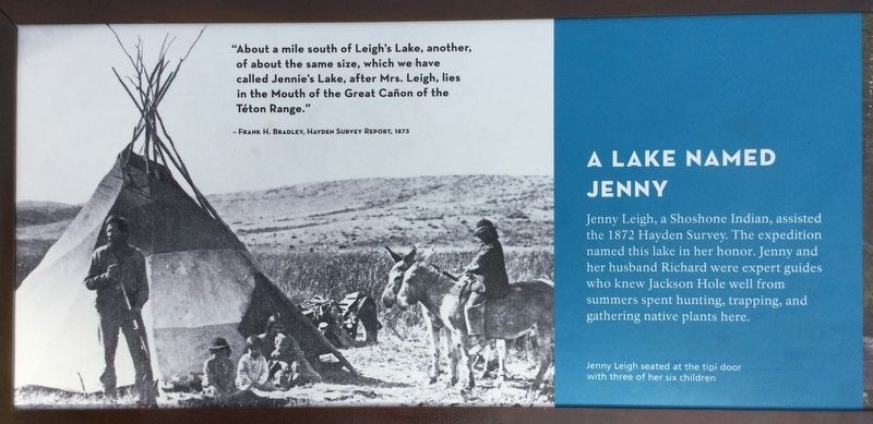
A Lake Named Jenny
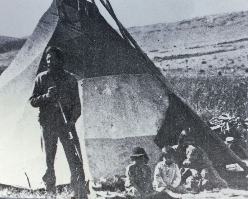
Photo caption: Jenny Leigh seated at the tipi door with three of her six children.
"About a mile south of Leigh's Lake, another, of about the same size, which we have called Jennie's Lake, after Mrs. Leigh, lies in the Mouth of the Great Canon of the Teton Range." - Frank H. Bradley, Hayden Survey Report, 1873
Topics. This historical marker is listed in these topic lists: Exploration • Native Americans • Parks & Recreational Areas • Women.
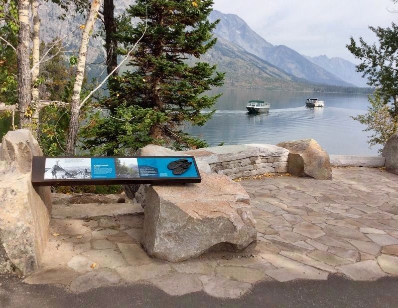
Location. 43° 45.116′ N, 110° 43.508′ W. Marker is near Moose, Wyoming, in Teton County. Marker can be reached from Teton Park Road, 8 miles north of U.S. 191. Located in Grand Teton National Park near the Jenny Lake Visitor Center, along the trail to the boat dock. Touch for map. Marker is in this post office area: Moose WY 83012, United States of America. Touch for directions.
Other nearby markers. At least 8 other markers are within 3 miles of this marker, measured as the crow flies. The Park’s First Visitor Area (about 700 feet away, measured in a direct line); Capturing Dudes (about 700 feet away); The Crandall Studio (about 700 feet away); Jenny Lake (approx. 1.2 miles away); Fault Scarp (approx. 1.4 miles away); Cascade Canyon (approx. 1.6 miles away); The Cathedral Group (approx. 2.7 miles away); a different marker also named The Cathedral Group (approx. 2.7 miles away).
Credits. This page was last revised on May 17, 2022. It was originally submitted on September 15, 2018, by Craig Baker of Sylmar, California. This page has been viewed 340 times since then and 19 times this year. Photos: 1, 2, 3, 4. submitted on September 15, 2018, by Craig Baker of Sylmar, California. • Andrew Ruppenstein was the editor who published this page.


