Portsmouth, England, United Kingdom — Northwestern Europe (the British Isles)
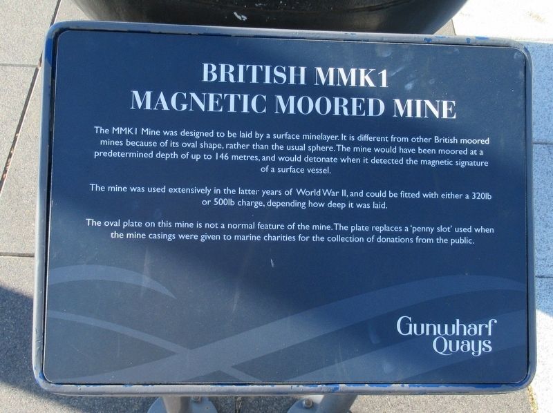
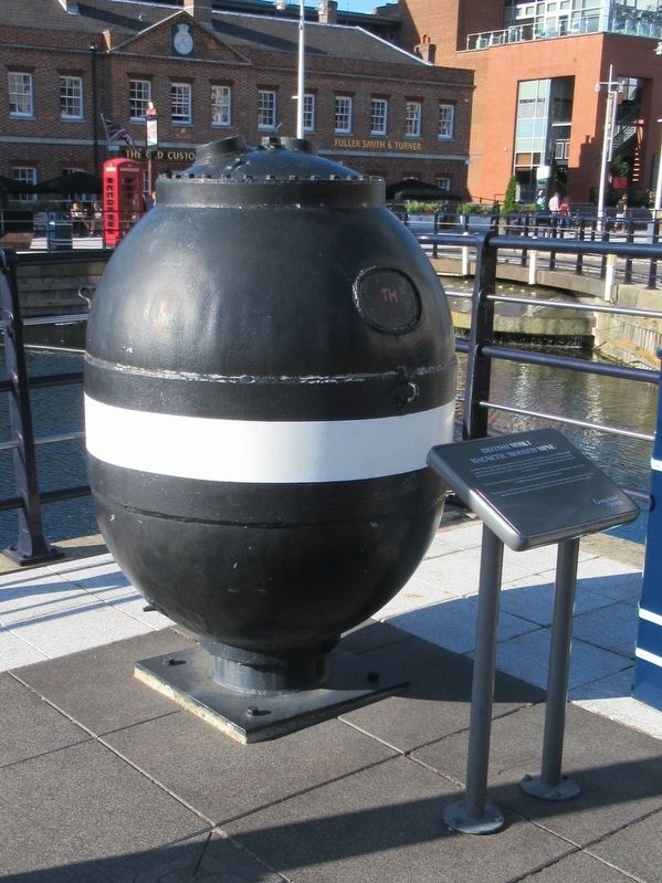
British MMK1 Mine
Magnetic Moored Mine
The mine was used extensively in the latter years of World War II, and could be fitted with either a 320lb or 500lb charge, depending how deep it was laid.
The oval plate on this mine is not a normal feature of the mine. The plate replaces a ‘penny slot' used when the mine casings were given to marine charities for the collection of donations from the public.
Gunwharf Quays
Topics. This historical marker is listed in these topic lists: War, World II • Waterways & Vessels.
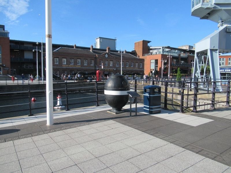
Location. 50° 47.676′ N, 1° 6.388′ W. Marker is in Portsmouth, England. Marker can be reached from the intersection of Route B2154 and Park Road, on the left when traveling north. Located in the Gunwharf Quays mall. Touch for map. Marker is in this post office area: Portsmouth, England PO1 3TY, United Kingdom. Touch for directions.
Other nearby markers. At least 8 other markers are within walking distance of this marker. Mark VIII Torpedo (here, next to this marker); HMS Vernon Figurehead (within shouting distance of this marker); HMS Sirius (within shouting distance of this marker); GPO K6 Telephone Box (within shouting distance of this marker); The Old Customs House (within shouting distance of this marker); Noon Day Gun (within shouting distance of this marker); 12 Inch Shell (within shouting distance of this marker); HM Gunwharf, Portsmouth (about 150 meters away, measured in a direct line). Touch for a list and map of all markers in Portsmouth.
Also see . . .
1. History of Gunwharf Keys. (Submitted on September 16, 2018, by Michael Herrick of Southbury, Connecticut.)
2. Gunwharf Quays on Wikipedia. (Submitted on September 16, 2018, by Michael Herrick of Southbury, Connecticut.)
Credits. This page was last revised on January 27, 2022. It was originally submitted on September 16, 2018, by Michael Herrick of Southbury, Connecticut. This page has been viewed 169 times since then and 15 times this year. Photos: 1, 2, 3. submitted on September 16, 2018, by Michael Herrick of Southbury, Connecticut.


